Type
service-view
Type of resources
Available actions
Keywords
Contact for the resource
Provided by
Years
Formats
Update frequencies
status
Service types
From
1
-
10
/
344
-

-
-
-

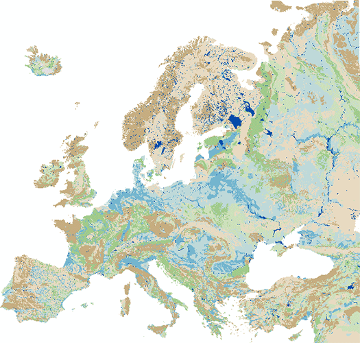
This service includes topographical maps on a scale of 1:1 million.
-

-

-

-

-

Sirkumpolært grunnkart med transparent hav som kombinerer topografiske detaljer fra Kartverket og Norsk Polarinstitutt syd til X breddegrad (sør-Frankrike). Det inneholder også kartdata fra de andre arktiske landene som er tilgjengeliggjort gjennom Arctic Spatial Data Infrastructure (Arctic SDI). Kartet inneholder ikke sted- og veinavn, disse kan legges på gjennom tjenesten sirkumpolære stedsnavn cache.
-

 Arctic SDI catalogue