 Arctic SDI catalogue
Normalized Difference Vegetation Index, NDVI
Type of resources
Topics
Keywords
Contact for the resource
Provided by
Formats
Representation types
Update frequencies
status
-
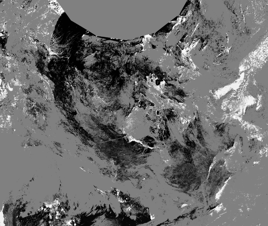
The dataset includes two data products derived from the Visible Infrared Imaging Radiometer Suite (VIIRS) imager operated by the US National Oceanic and Atmospheric Administration (NOAA) onboard Suomi National Polar-Orbiting Partnership (SNPP) satellite: 1) Normalized Difference Vegetation Index (NDVI) 2) Snow Mask (Snow) with supplementary information about data quality and scene identification Each product, NDVI and Snow, has been derived at two spatial resolutions: 1) I-band resolution for 250-m spatial grid (VIIRS image bands I1 and I2) 2) M-band resolution for 500-m spatial grid (VIIRS moderate resolution bands M5 and M7) Datasets are produced with a daily temporal frequency, i.e. one file per day. The study area with the size of 5,700 km × 4,800 km covers Canada and neighboring regions (Trishchenko, 2019). The VIIRS time series are produced from VIIRS /SNPP imagery at CCRS from January 1, 2017.