avoindata.fi
Type of resources
Available actions
Topics
Keywords
Contact for the resource
Provided by
Formats
Representation types
Update frequencies
Service types
-
Väyläviraston avoin WFS on WFS-rajapintapalvelu. Palvelu perustuu Väyläviraston ylläpitämiin tie-, rata- ja vesiväyläverkon aineistoihin. Aineistoja hallinnoi Väylävirasto. Palvelun käyttö on maksutonta eikä vaadi autentikointia eli tunnistautumista käyttäjätunnuksen ja salasanan avulla.
-

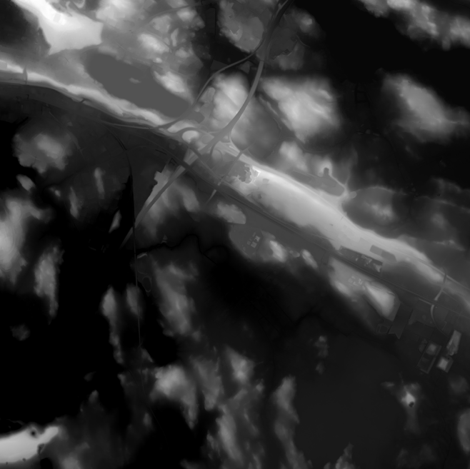
Elevation model 2 m is a model depicting the elevation of the ground surface in relation to sea level. Its grid size is 2 m x 2 m. The dataset is based on laser scanning data, the point density of which is at least 0.5 points per square metre. The product's coverage is based on nationwide laser scanning. In some parts of the outer archipelago or the eastern border, the elevation model is not available. Elevation model 2 m is produced in two quality classes: the elevation accuracy in class I is on average 0.3 metres and the elevation accuracy in class II varies between 0.3 metres and one metre. The product belongs to the open data of the National Land Survey of Finland.
-

Tampereen kaupungin WMS-rajapintapalvelu (GeoServer Web Map Service). Palvelu sisältää avoimen datan ja tunnistautumista vaativia aineistoja. Lisätietoja inspire@tampere.fi
 Arctic SDI catalogue