Geospatial
Type of resources
Available actions
Topics
Keywords
Contact for the resource
Provided by
Years
Formats
Representation types
Update frequencies
status
Service types
-
Web Feature Service
-

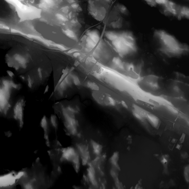
Elevation model 2 m is a model depicting the elevation of the ground surface in relation to sea level. Its grid size is 2 m x 2 m. The dataset is based on laser scanning data, the point density of which is at least 0.5 points per square metre. The product's coverage is based on nationwide laser scanning. In some parts of the outer archipelago or the eastern border, the elevation model is not available. Elevation model 2 m is produced in two quality classes: the elevation accuracy in class I is on average 0.3 metres and the elevation accuracy in class II varies between 0.3 metres and one metre. The product belongs to the open data of the National Land Survey of Finland.
-

Have you ever wanted to create your own maps, or integrate and visualize spatial datasets to examine changes in trends between locations and over time? Follow along with these training tutorials on QGIS, an open source geographic information system (GIS) and learn key concepts, procedures and skills for performing common GIS tasks – such as creating maps, as well as joining, overlaying and visualizing spatial datasets. These tutorials are geared towards new GIS users. We’ll start with foundational concepts, and build towards more advanced topics throughout – demonstrating how with a few relatively easy steps you can get quite a lot out of GIS. You can then extend these skills to datasets of thematic relevance to you in addressing tasks faced in your day-to-day work.
-

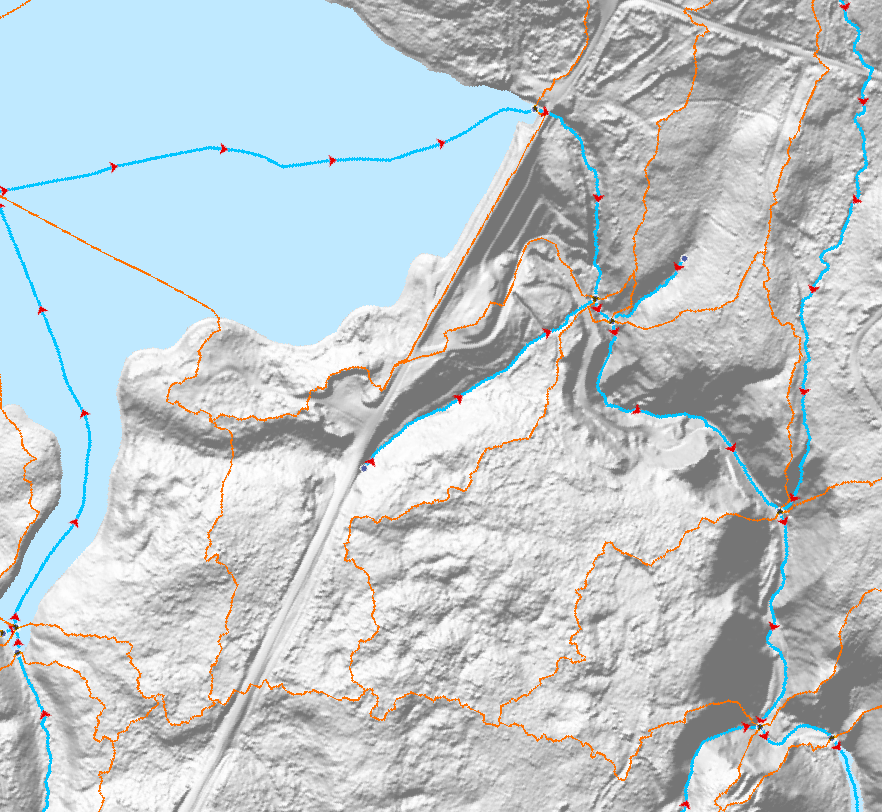
The Canadian Hydrospatial Network (CHN) is an analysis-ready geospatial network of features that help enable the modelling of surface water flow in Canada. The six main layers and feature types are: flowlines, waterbodies, catchments, catchment aggregates, work units, and hydro nodes. Where possible the CHN is derived from high resolution source data such as Light Detection and Ranging (LiDAR) derived Digital Elevation Models (DEMs) and aerial imagery, to name a few. If existing provincial or territorial hydrographic networks meet the standards, they are incorporated into the CHN, otherwise automatic extraction methods are used on the high-resolution source data. To provide full network connectivity, if neither of these methods is possible in a region, the NHN is converted into the CHN until higher-resolution source data is available. Additional value-added attributes are included in the CHN to aid modelling, such as stream order and reach slope. The CHN physical model and features are also closely aligned and harmonized with the USGS 3DHP hydrographic network, which aids trans-border modelling. Where possible geonames (i.e. toponyms) are also added. The CHN is produced and disseminated by hydrologically connected geographic areas called work units. Work units can contain just one watershed, several small adjacent watersheds outletting into a large body of water, or be one of many parts of a larger watershed. In all cases, the features of a work unit are hydrologically connected. This is a more natural approach to data delivery, in comparison to data that is split into tiles. A generalized work unit index file is provided in the downloads to help users decide which files to download. For more information on the CHN please visit the project webpage: https://natural-resources.canada.ca/canadian-hydrospatial-network
-
CanVec contains more than 60 topographic features classes organized into 8 themes: Transport Features, Administrative Features, Hydro Features, Land Features, Manmade Features, Elevation Features, Resource Management Features and Toponymic Features.This multiscale product originates from the best available geospatial data sources covering Canadian Territory. It offers quality topographic information in vector format complying with international geomatics standards.
-
* IMPORTANT MESSAGE * THIS WMS SERVICE WILL CLOSE ON SEPTEMBER 15, 2020. The surficial geology map collection consists of individually published surficial geology maps across Canada that have been released in the Canadian Geoscience Map Series format. Each map was created with a specific extent or scale which may result in data superimposition. These maps share a common science language (common legend) based on the Geological Survey of Canada’s Surficial Data Model. The map collection provides an effective easily accessible national surficial geological framework and context in a standardized format to all users.
 Arctic SDI catalogue