 Arctic SDI catalogue
crop rotation
Type of resources
Available actions
Topics
Keywords
Contact for the resource
Provided by
Years
Formats
Resolution
-
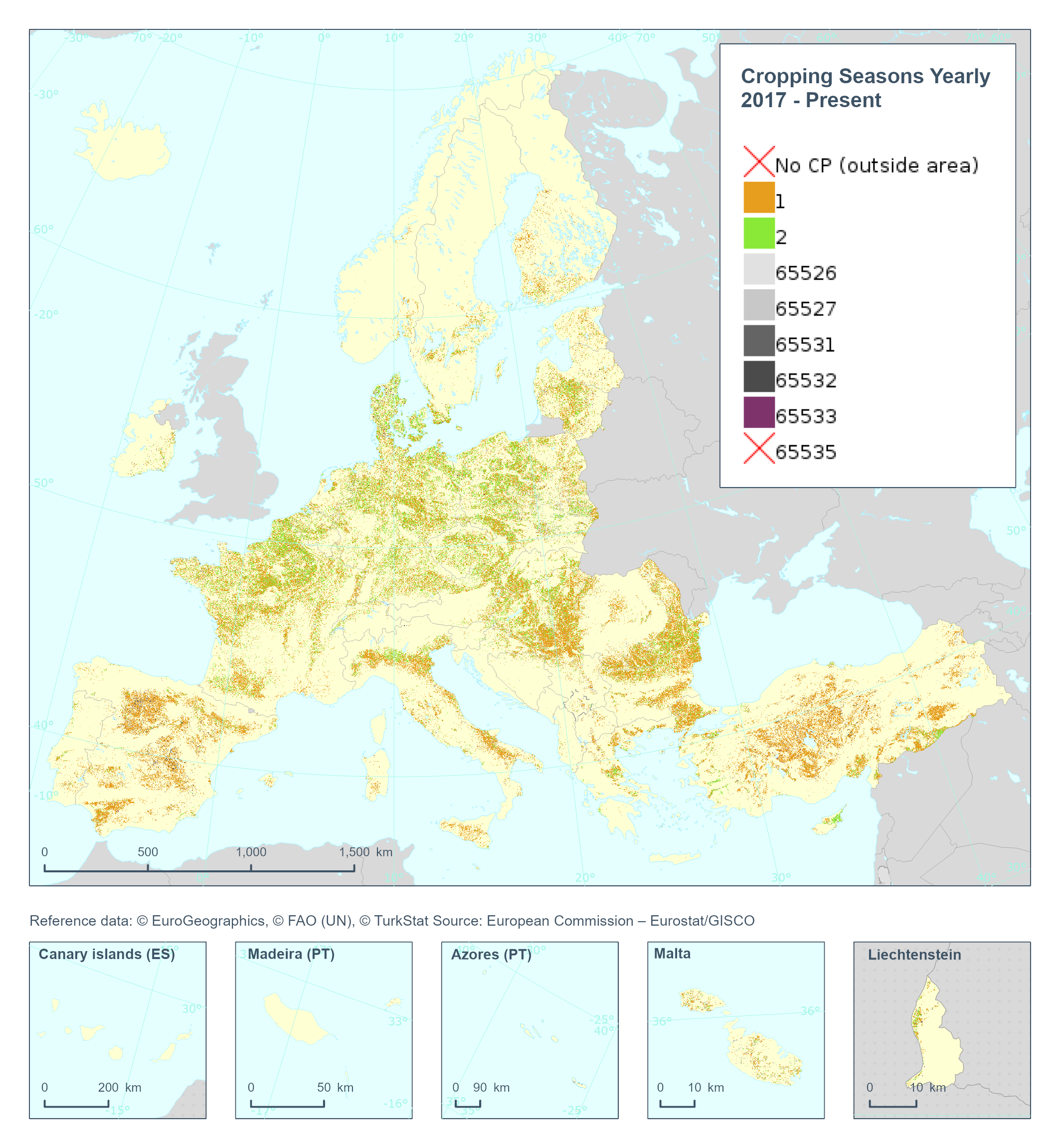
The High Resolution Layer Cropping Patterns - Cropping Seasons Yearly (CPCSY) raster product provides number of growing seasons detected within 1 year (0/1/2). This dataset is provided annually starting in 2017 with 10 meter rasters (fully conformant with the EEA reference grid) in 100 x 100 km tiles covering the EEA38 countries. High Resolution Layer Croplands product is part of the European Union’s Copernicus Land Monitoring Service. This dataset includes data from the French Overseas Territories (DOMs)
-
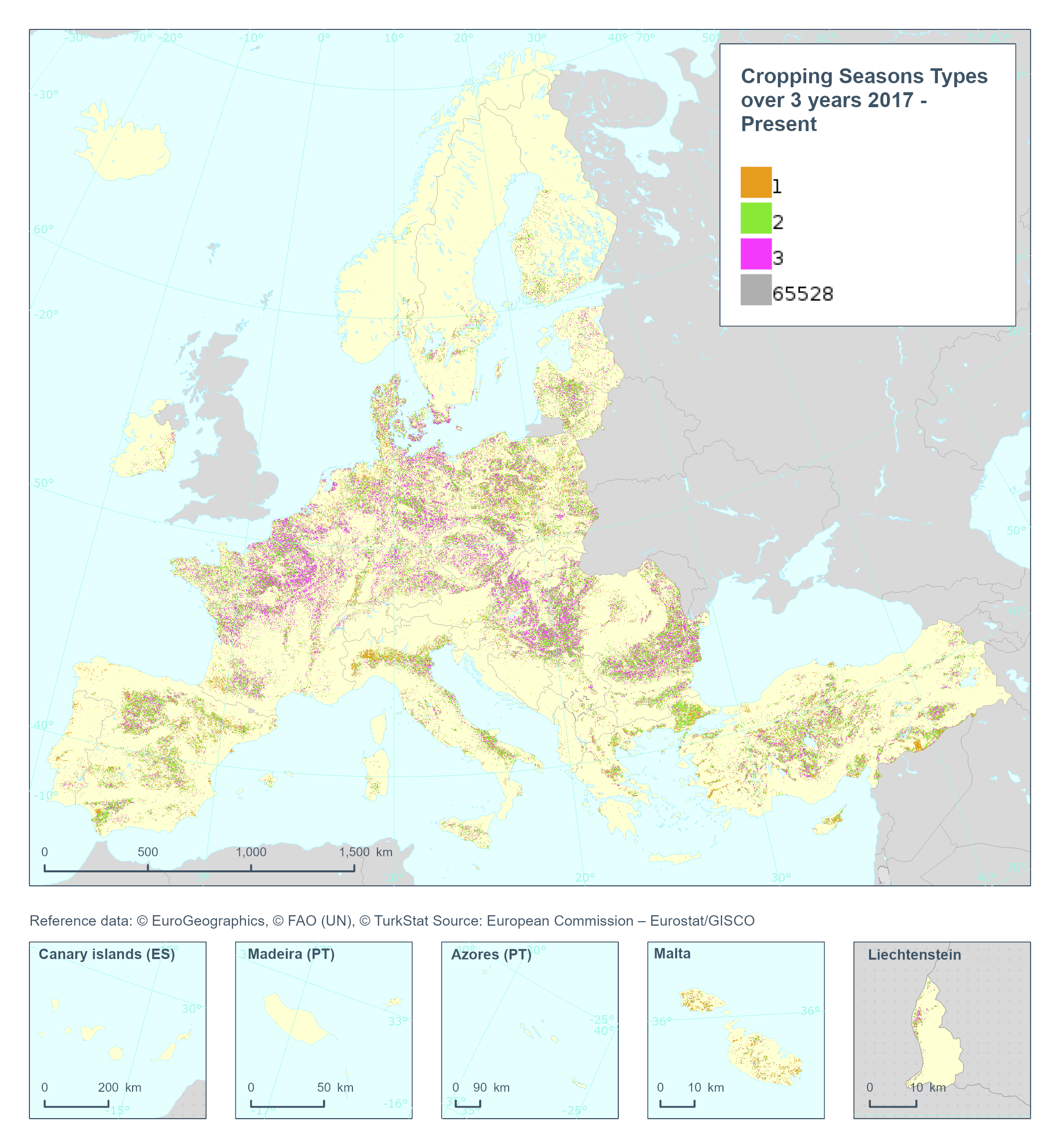
The High Resolution Layer Cropping Patterns - Cropping Seasons Types (CPCSY) raster product provides the number of different crop types grown in a 3-year period [0-3] (excluding cover crops). This dataset is provided annually starting in 2017 with 10 meter rasters (fully conformant with the EEA reference grid) in 100 x 100 km tiles covering the EEA38 countries. High Resolution Layer Croplands product is part of the European Union’s Copernicus Land Monitoring Service. This dataset includes data from the French Overseas Territories (DOMs)