 Arctic SDI catalogue
Contact for the resource
Náttúruverndarstofnun
Type of resources
Categories
Available actions
Topics
Keywords
Contact for the resource
Provided by
Years
Formats
Representation types
Update frequencies
Scale
From
1
-
4
/
4
-

Gögnin sýna svæði þar sem refaveiði er óheimil allt árið um kring.
-
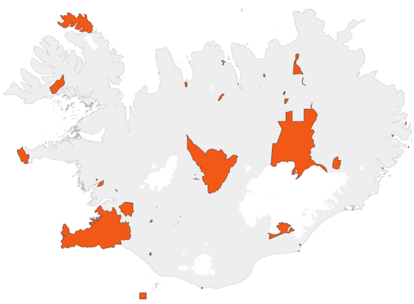
Gögnin sýna svæði þar sem rjúpnaveiði er óheimil allt árið um kring.
-

This data includes all defined hiking trails within Vatnajökull National Park, and selected trails near the park. The trails are drawn from hiking maps that the park has published since it was founded in 2008. The maps have been updated regularly since, last update was in 2019, (Snæfell area and a large part of the western region). These hiking maps can be viewed by selecting “Hiking map, click on frame” in the Vatnajökull National Park Mapview, (see link below).
-

Upplýsingar um göngustíga á friðlýstum svæðum. Fyrir frekari upplýsingar um gögnin er bent á að hafa samband við Náttúruverndarstofnun.