 Arctic SDI catalogue
100
Type of resources
Available actions
Topics
Keywords
Contact for the resource
Provided by
Years
Formats
Representation types
Update frequencies
status
Scale
-
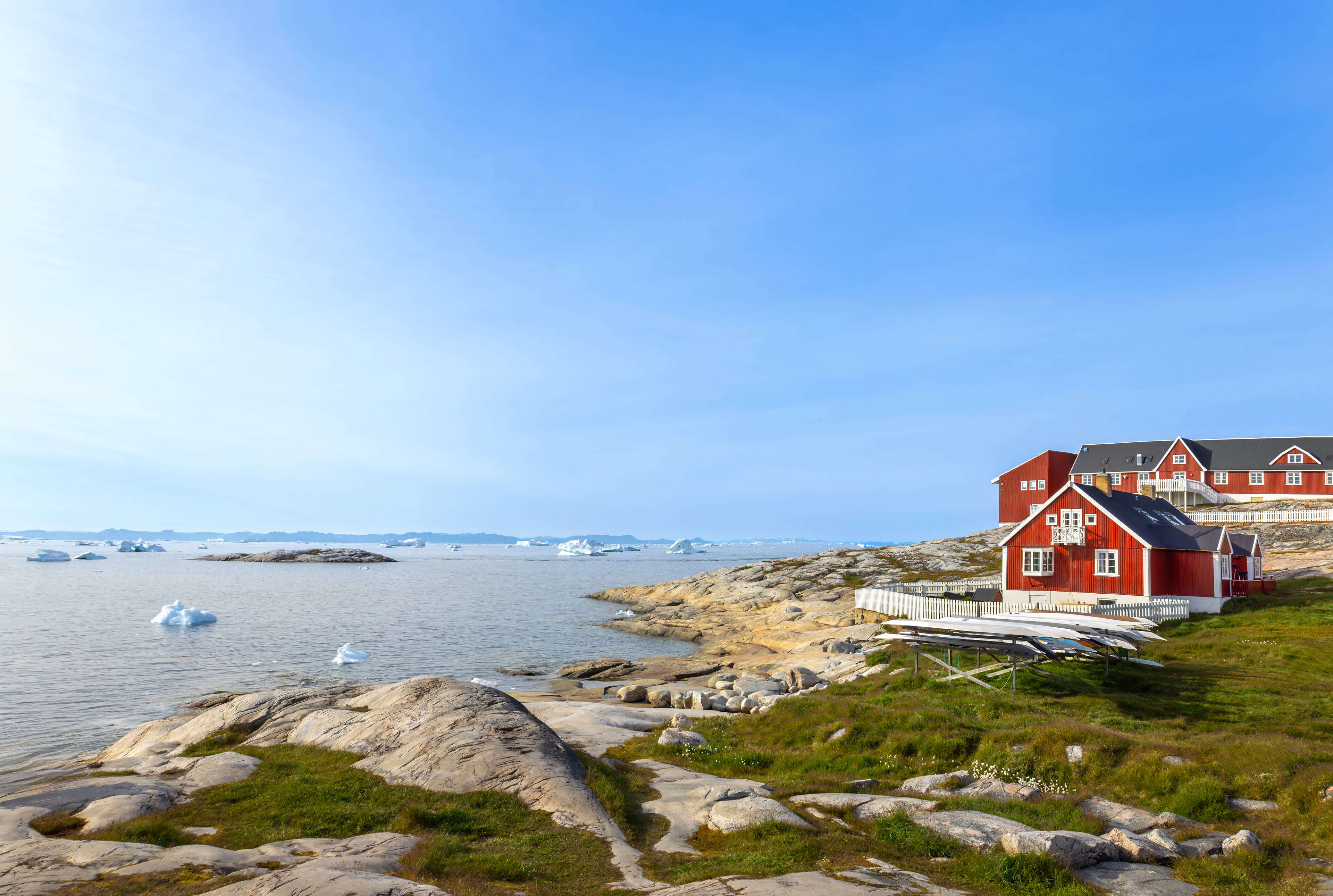
The dataset contains terrain models of towns and settlements across Greenland delivered by Asiaq and prepared in connection with the Landslide Project 2022. The dataset includes recorded infrastructure such as roads, buildings and administrative boundaries, as well as a comprehensive raster mosaic of elevation models covering all towns and settlements.
-
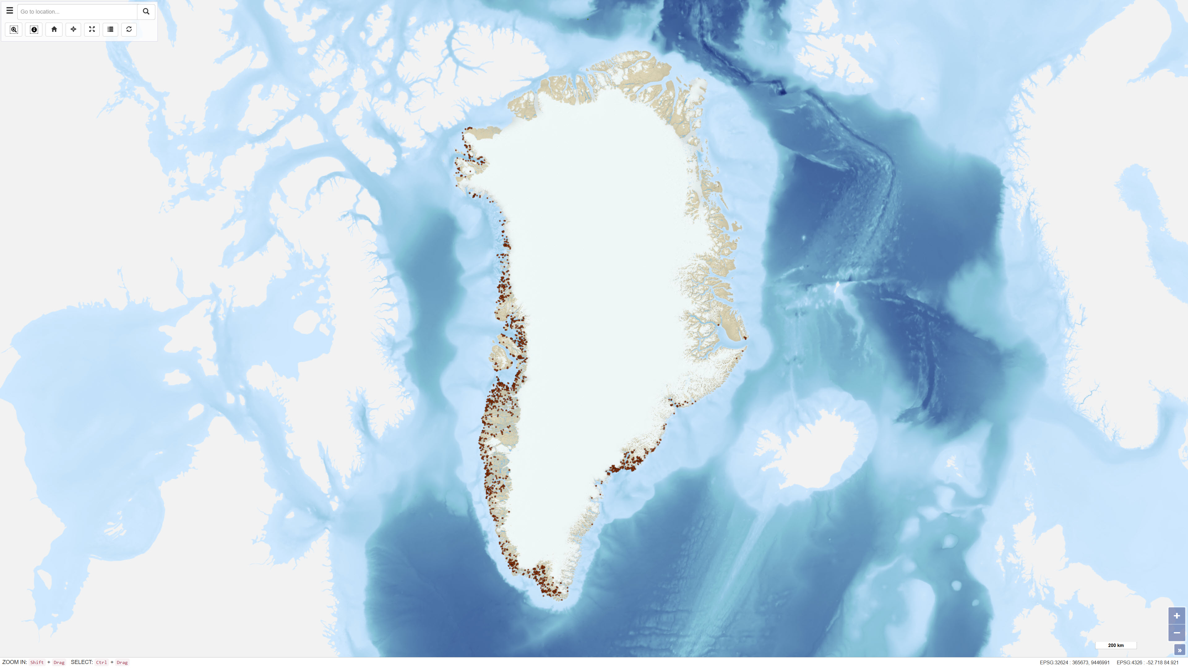
Ujarassiorit is Greenland’s national mineral hunt, a public competition open to residents of Greenland. The initiative encourages participants to collect and submit rock samples from anywhere in Greenland to the Ministry of Mineral Resources for geological evaluation. Submitted samples are assessed by geologists, and selected participants may be awarded prizes. The purpose of Ujarassiorit is to increase public awareness of Greenland’s mineral resources and to support mineral exploration by identifying areas of geological interest through public participation. The initiative contributes to the collection of geological information and promotes engagement with geoscience among the population.
-

Staðsetning á sigkötlum á íslenskum jöklum. Staðsetning byggir á upplýsingum frá Jarðvísindastofnun Háskólan Íslands.
-
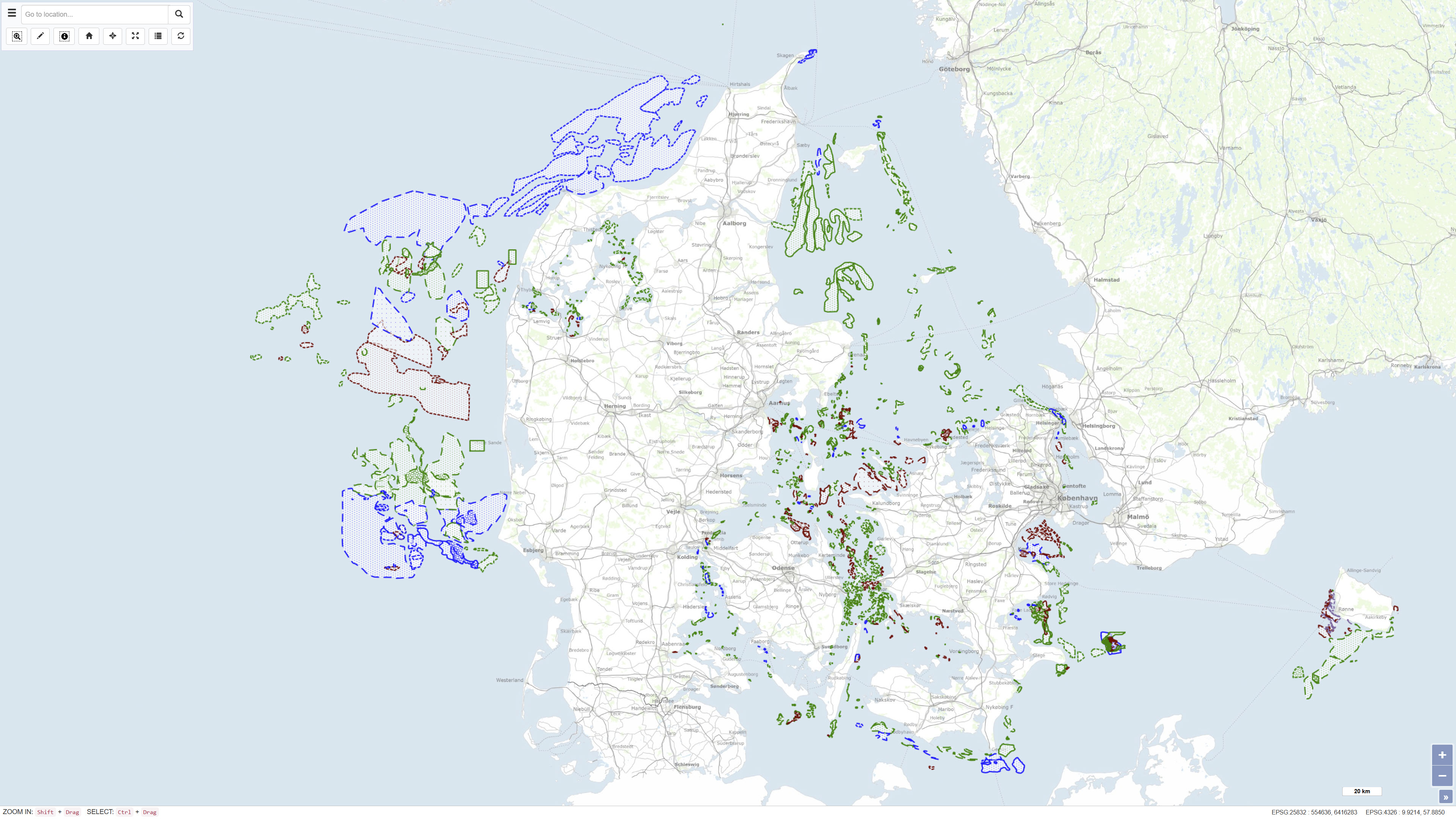
The MARTA database contains shallow seismic and acoustic data, information and geological samples. MATRA shows the distribution of marine sand and gravel resources and gives access to reports on raw material surveys. MARTA shows the distribution of marine sand and gravel resources and gives access to reports on raw material surveys. Data has primarily been acquired by GEUS and our partners., MARTA is the official Danish marine raw material database for data reported in accordance with the Danish Raw Material Act. MARTA is used by the raw materials industry and authorities and as a planning tool in connection with raw material extraction and marine construction projects including beach nourishment.
-
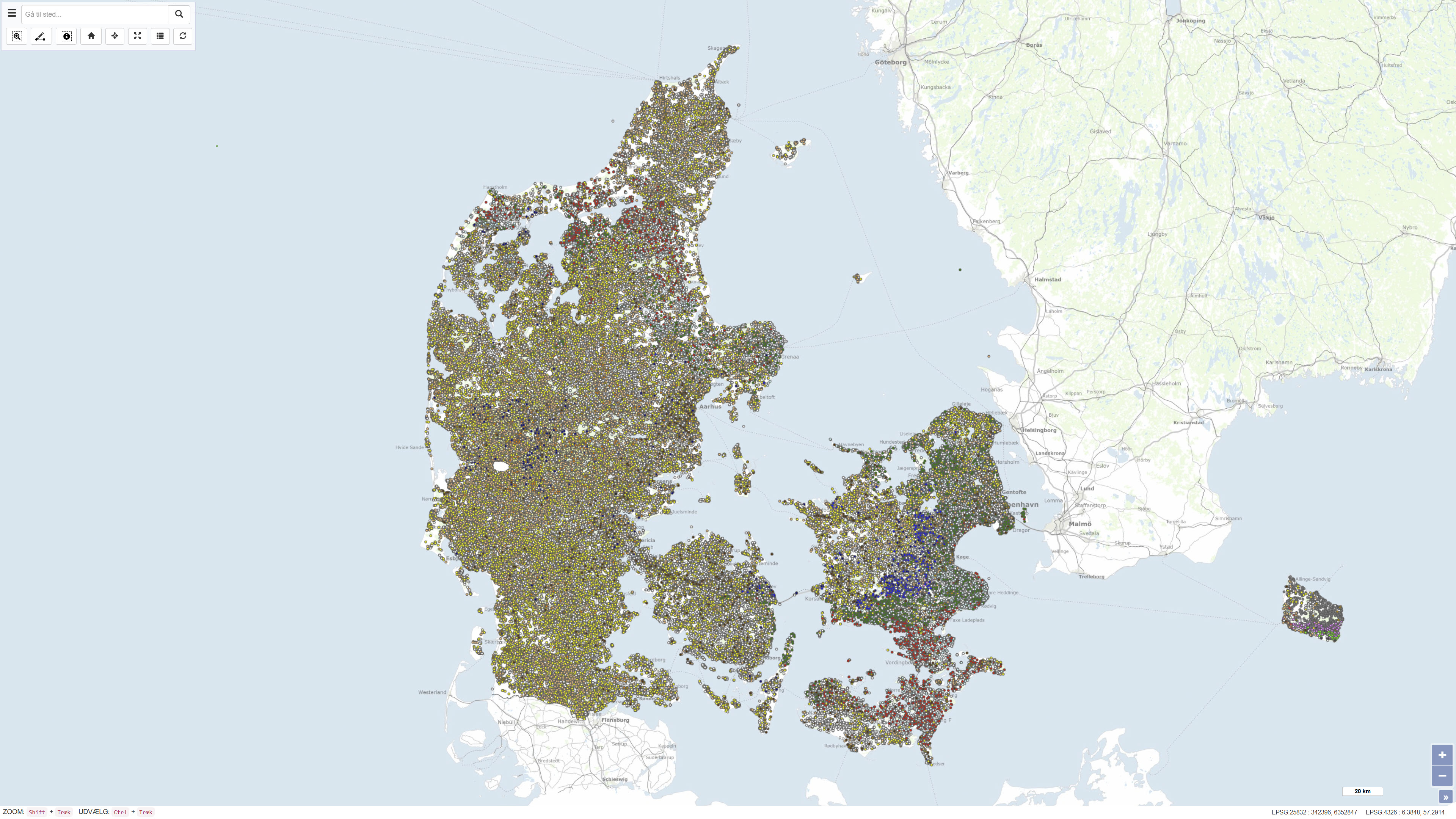
The National well database (Jupiter) among other things contains water level measurements from Danish wells. The database contains water level measurements from the municipalities, the groundwater-monitoring program, the regions soil pollution investigations and from the establishment of new wells.
-

Árið 2000 réðst Hafrannsóknarstofnunin í viðamikla kortlagningu hafsbotnsins með tilkomu hafrannsóknaskipsins Árna Friðrikssonar RE 200. Skipið er búið fjölgeisladýptarmæli (e. multibeam echo sounder) sem sérstaklega er ætlað til þess verkefnis. Markmið verkefnisins er að afla þekkingar um hafsbotninn innan efnahagslögsögu Íslands sem mun nýtast í margháttuðum tilgangi og er forsenda fyrir vísindalegri nálgun við sjálfbærri nýtingu, vernd og rannsóknir auðlinda í hafinu, á, í og undir hafsbotni. Hingað til hefur þekkingin nýst við rannsóknir á lífríki hafsins, eðliseiginleikum sjávar og jarðfræði hafsbotns. Hafrannsóknastofnun veitir almennan aðgang að fjölgeislamæligögnum um kortlagningu hafsbotnsins á eftirtöldum svæðum: Arnarfjörður Drekasvæði Hali Dohrnbanki Ísafjarðardjúp Jökulbanki Kolbeinseyjarhryggur og nágrenni Kolluáll Kötluhryggir Langanesgrunn Látragrunn Nesdjúp Reykjaneshryggur og nágrenni Suðaustan Lónsdjúps Suðvestan Jökuldjúps Sunnan Selvogsbanka Sunnan Skeiðarárdjúps Sunnan Skerjadjúps Vesturdjúp Víkuráll
-
Eitt af markmiðum Hafrannsóknastofnar er að afla þekkingar um eðlis- og efnafræðilega eiginleika sjávar umhverfis Ísland, einkum með tilliti til áhrifa á lífríkið. Sjórannsóknir er samheiti rannsókna af þessu tagi og mörg verkefni miða að þessari þekkingaröflun. Til þeirra teljast ýmis verkefni sem eru nokkurs konar vöktun á Íslandsmiðum.
-
Vinsamlega hafið samband við Hafrannsóknastofnun vegna nánanri upplýsinga.
-

This data includes all defined hiking trails within Vatnajökull National Park, and selected trails near the park. The trails are drawn from hiking maps that the park has published since it was founded in 2008. The maps have been updated regularly since, last update was in 2019, (Snæfell area and a large part of the western region). These hiking maps can be viewed by selecting “Hiking map, click on frame” in the Vatnajökull National Park Mapview, (see link below).
-
Nationwide geophysical database for environmental and raw material data, also known as GERDA (GEophysical Relational DAtabase). The database contains various types of geophysics, including geoelectrics, electromagnetics, borehole logs and seismic. All data is freely available for download on the GEUS website. The database is updated continuously.