 Arctic SDI catalogue
Essence
Type of resources
Topics
Keywords
Contact for the resource
Provided by
Formats
Representation types
Update frequencies
status
-

__The link: *Access the data directory* is available in the section*Dataset Description Sheets; Additional Information*__. Two products are available to know the gross commercial volume of a tree according to its diameter at chest height (DHP) and its height. Their contents and the way of using them are different, but they both make it possible to obtain gross commercial volume values per tree. The first product is the **LIN3 cubing rate**. It is presented in the form of a table where the values of the gross market volume can be extracted directly. These are local rates, i.e. the height used in the general rate equation (volume prediction models) is predicted by height-DHP relationships developed per survey unit. The second product offers increased precision. It is presented in the form of several tables where the values of the gross commercial volume do not appear directly. Rather, the content of these tables is used to apply **models for predicting the height and gross commercial volume** of a tree. Height prediction models are also developed locally at the scale of survey units. The use of the product requires consultation of the document [“Models for predicting the height and gross commercial volume of trees - Method and use”] (https://mrnf.gouv.qc.ca/nos-publications/modele-prediction-hauteur-volume/). Finally, the **Predivol** tool allows users to more easily access prediction models for sample plots (PE) using a user-friendly interface that is independent of geographic information systems (GIS). ** 📣 Recommendation of the Forest Inventory Directorate: ** it is preferable to use models to predict height and gross market volume in territories where they are available. A new height prediction model is available when a territory obtains the results of forest compilations. In the absence of these models, it is still possible to use the LIN3 cubing rate. **This third party metadata element was translated using an automated translation tool (Amazon Translate).**
-
Station Quality Index (IQS) maps provide a 25-year IQS value for white spruce, black spruce, and jack pine plantations at the scale of the forest polygon of the ecoforest map updated in 2022. These IQS values were estimated with non-parametric models called decision-making tree forests, which were parameterized from spatially explicit variables, derived from climate data, ecological classification, edaphic characteristics and attributes relating to the station. IQS values were estimated based on the current climate period for managed forest land and do not include climate projections. Data can be downloaded as a file in GeoPackage (GPKG) or CSV format. To know the details of the modeling approach used, you are invited to consult the SSRF-30 technical opinion by Barrette et al. (2023).**This third party metadata element was translated using an automated translation tool (Amazon Translate).**
-
Following the execution of forest work, the holders must, each year, prepare and submit to the Minister a Technical and Financial Activity Report (RATF) for each of the elements of the authorized annual programming (PRANA). The technical and financial activity report includes several geometric entities allowing the verification of development works on public forest territory. Here is the list: forest roads, point infrastructure, drainage completed, drainage completed, sample plot, intervention polygons, bridge and culvert, reforested species, intervention monitoring results, intervention sector, intervention sampling unit, intervention follow-up sampling unit.**This third party metadata element was translated using an automated translation tool (Amazon Translate).**
-
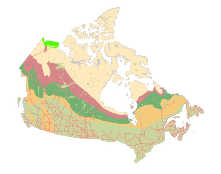
The "Starter Kits" of the Canadian Geospatial Data Infrastructure (CGDI) are curated bundles of geospatial data delivered as a service. These kits are the result of a user needs assessment commissioned by Natural Resources Canada (NRCan), with a primary focus on addressing the specific requirements of Indigenous Peoples. Within these kits, you'll discover a selection of data provided as a service from a collection of over 71,000 datasets falling under the "Nature and Environment" category sourced from CGDI's Federal and Provincial/Territorial partners. These Starter Kits have been thoughtfully crafted into four thematic or geographic areas of Canada: a) British Columbia, b) Northwest Territories, c) Climate Change across Canada, d) And Water Resources across Canada. Each of these kits represents diverse areas and data categories, offering new users a compact, comprehensive, and user-friendly gateway to explore a wide array of information provided by the CGDI.