 Arctic SDI catalogue
Keyword
Bosnia and Herzegovina
Type of resources
Available actions
Topics
Keywords
Contact for the resource
Provided by
Years
Formats
Resolution
From
1
-
1
/
1
-
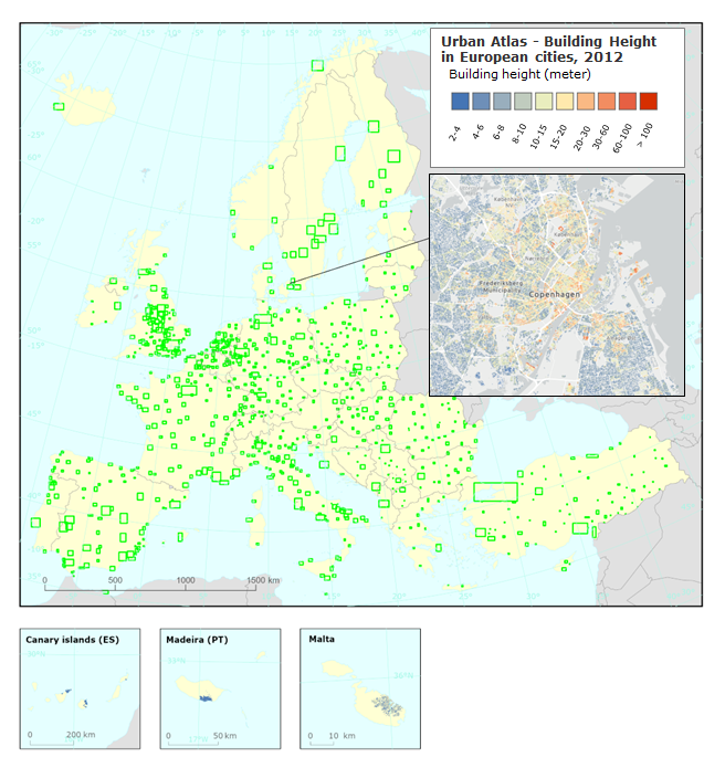
This metadata refers to the Copernicus Building Height 2012 third version. The dataset is a 10m high resolution raster layer containing height information generated for selected cities and urban areas in the EEA38 member countries and United Kingdom as part of the Urban atlas suite of products. Height information is based on satellite data and derived datasets like the digital surface model (DSM), the digital terrain model (DTM) and the normalized DSM. The satellite data sources are IRS-P5 stereo images for the capital cities and VHR false stereo pairs extracted from the MAXAR catalogue (WV-01, WV-02, GE-01 and IK) for the remaining areas supplemented by LiDAR data as additional option.