 Arctic SDI catalogue
Keyword
Hazard areas
Type of resources
Categories
Available actions
Topics
Keywords
Contact for the resource
Provided by
Formats
Representation types
Update frequencies
status
Scale
From
1
-
1
/
1
-
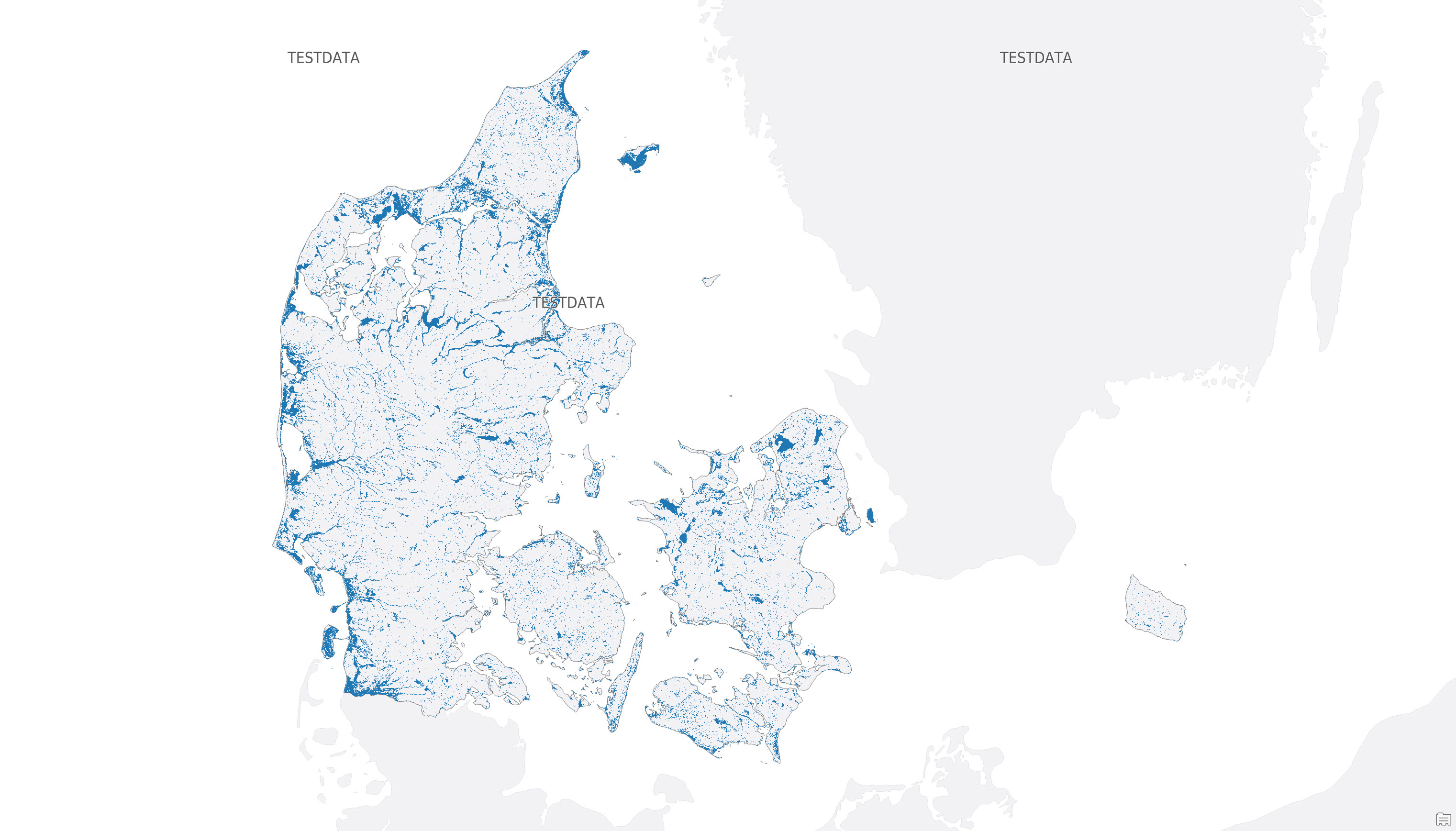
The dataset shows mapped potential hazard areas for groundwater flooding in Denmark. It identifies areas that are potentially exposed to flooding from groundwater, based on a threshold corresponding to a median winter groundwater table of 1 m below terrain or less for the period 2071-2100 under the RCP8.5 emissions scenario. The dataset is provided as raster data with a spatial resolution of 10 × 10 m and forms part of the data basis for the national maps of potential groundwater hazard areas.