 Arctic SDI catalogue

Type of resources
Available actions
Topics
Keywords
Contact for the resource
Provided by
Years
Formats
status
Service types
Scale
-
-
-
"Miljøstyrelsen skal årligt foretage rapportering af nationalt beskyttede arealer til Det Europæiske Miljøagentur (EEA). Dette kaldes rapportering af NatDA (Nationally Designated Areas), tidligere kaldet CDDA (Common Database on Designated Areas). I rapporteringen indgår naturtyper beskyttet efter naturbeskyttelseslovens § 3 (fordelt på offentligt og privatejede arealer), visse naturfredninger og udpegede havstrategiområder, samt Grønlands fredede arealer. Data for de § 3-beskyttede naturtyper og fredede områder stammer fra starten af 2024, mens havstrategiområder er fra 2022 og Grønlands fredede arealer er fra 2021."
-

Dette er en samling af historiske topografiske kort over Grønland. Kortene fås som rasterkort i forskellige målforhold, opløsning og formater. Kortet er velegnet til print.
-
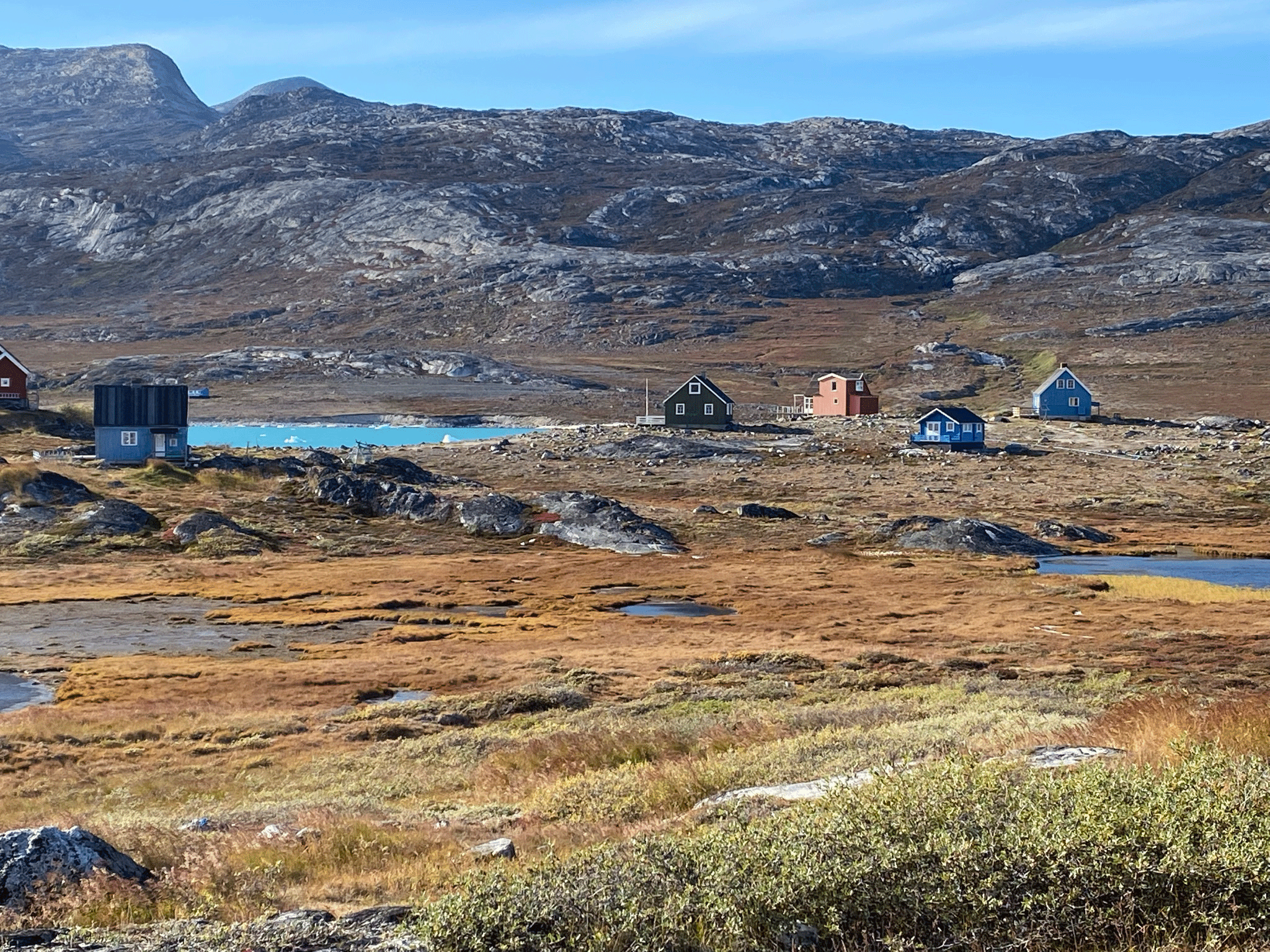
Åbent Land Grønland er et topografisk kort, der består af vektordata og kurver, med farver og signaturer, der så vidt muligt illustrerer de faktiske fysiske forhold. Åbent Land Grønland kan anvendes til sikker planlægning af færdsel i det åbne land.
-
Jupiter er GEUS' landsdækkende database for grundvands-, drikkevands-, råstof-, miljø- og geotekniske data. Databasen er den fællesoffentlige database på området og indgår i Danmarks Miljøportal. Databasen er offentligt tilgængelig og opdateres løbende.
-
De historiske topografiske grønlandskort er tilgængelige som vektordata i målestokkene 1:250.000 og 1:2.500.000.
-
DMI foretager en lang række punktmålinger på sine målestationer i Danmark og Grønland. Målingerne er en automatisk proces, hvor vind, nedbør, temperatur, og vandstand måles, og data videresendes til DMI. Observationsdata er såkaldte rå-data, hvilket betyder, at de ikke er kvalitetskontrollerede eller på anden vis behandlede. Der kan således forekomme fejlbehæftede målinger, hvilket typisk skyldes, at måleinstrumenter er blevet slidte eller ødelagte af vind og vejr, i sjældne tilfælde har været udsatte for hærværk. DMI arbejder løbende med kvalitetssikring og vedligeholdelse af sine måleinstrumenter med henblik på at leve op til anbefalingerne fra WMO. Man skal derfor være opmærksom på risikoen for fejlbehæftede målinger, hvis man anvender DMI’s meteorologiske observationsdata. De meteorologiske observationer angives i UTC-tid, og målingerne følger anbefalingerne fra FN's organisation for meteorologi, World Meteorological Organization (WMO) og den internationale oceanografiske kommision (IOC - UNESCO).
-
Kortblade over Åbent Land Grønland kan anvendes som et præcist og sikkert grundlag til at planlægge og foretage ture i det åbne land.
-
Europa - Satellitfotos giver adgang til europæiske satellitbilleder. Produktet er en del af Open Maps for Europe, der tilbyder frie kortløsninger fra mere end 40 europæiske lande.