 Arctic SDI catalogue
Denmark
Type of resources
Available actions
Topics
Keywords
Contact for the resource
Provided by
Years
Formats
Representation types
Update frequencies
status
Service types
Scale
Resolution
-
Analyser hentet direkte fra GEUS boringsdatabase Jupiter. Der er fortolket paa felterne indtag_top_dybde og indtag_bund_dybde. Eventuel fortolkning kan laeses i felterne indtag_top_dybde_forklaret og indtag_bund_dybde_forklaret.
-
GEUS map database covering Denmark and Greenland
-
GEUS map database covering Denmark and Greenland
-
GEUS map database covering Denmark and Greenland
-
GEUS map database covering Denmark and Greenland
-
GEUS map database covering Denmark and Greenland
-
GEUS map database covering Denmark and Greenland
-
GEUS map database covering Denmark and Greenland
-
GEUS map database covering Denmark and Greenland
-
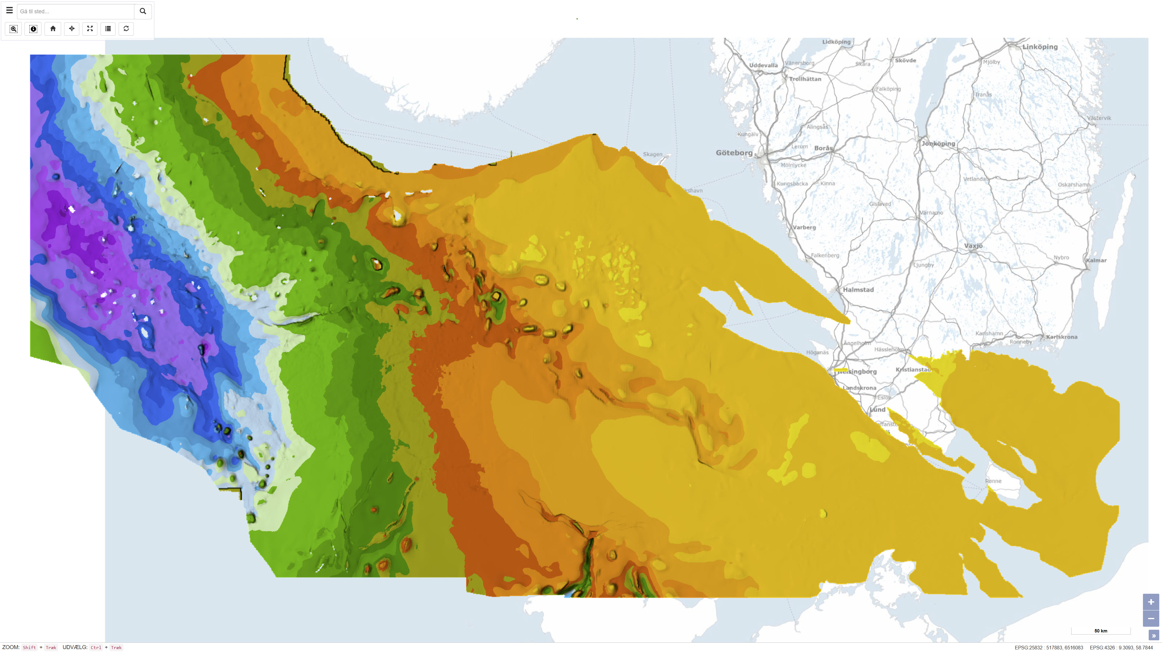
This dataset represents the structure and topography of the Top Chalk surface, i.e. the top of the Chalk Group (including Upper Cretaceous to Danian), in the Danish subsurface. The map illustrates regional variations in the depth and structural configuration of the chalk surface from the central North Sea to the eastern Danish areas. It is based on an integrated geological and geophysical interpretation of seismic profiles, well data and earlier mapping. The map provides an essential basis for geological, geophysical and subsurface reservoir analyses.