 Arctic SDI catalogue
Flooding
Type of resources
Categories
Available actions
Topics
Keywords
Contact for the resource
Provided by
Formats
Representation types
Update frequencies
status
Scale
-

Current weather induced overland flood alerts The Hydrologic Forecast Centre (HFC) issues several categories of flood alert throughout the year including riverine flooding due to snowmelt and rainfall, wind and wave induced shoreline flooding and ice pileup, and rainfall induced overland flooding. This layer demonstrates the location and/or extend of current alerts due to rainfall induced overland flooding. The types are defined below:Overland Flood Warning: A severe weather warning that is issued to alert the public that overland flooding is imminent or occurring in the warned area. Overland flooding is a quick onset of flood conditions, usually occurring after heavy rain that may not be linked to a specific waterway or lake. Rainfall intensity and duration, topography, soil conditions and ground cover are factors impacting overland flooding. Overland flooding can also occur because of a sudden release of water held by an ice jam.Overland Flood Watch: A severe weather watch that is issued when conditions are favourable for overland flooding. Normally issued when significant rainfall is expected in locations with saturated soil.
-
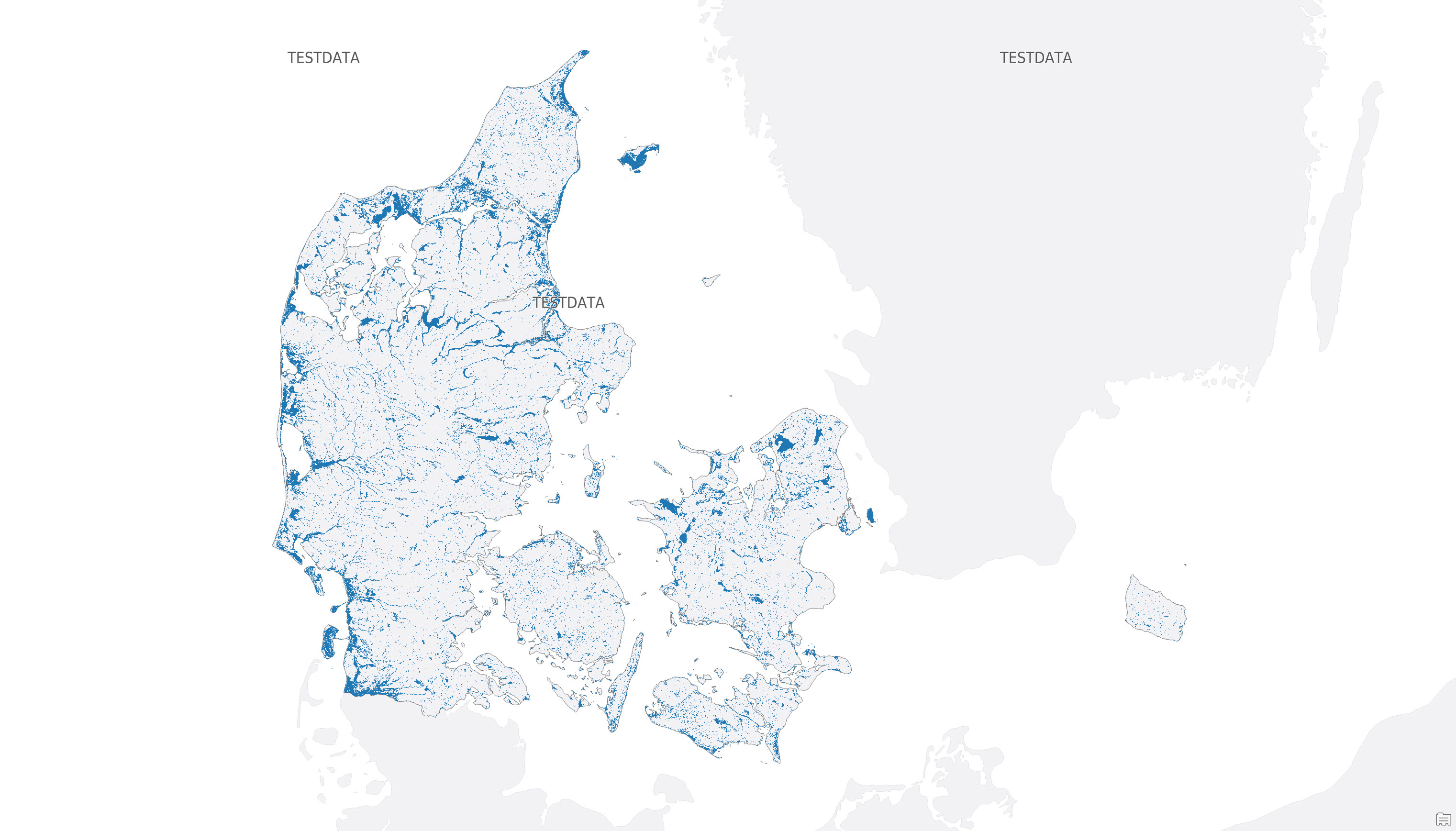
The dataset shows mapped potential hazard areas for groundwater flooding in Denmark. It identifies areas that are potentially exposed to flooding from groundwater, based on a threshold corresponding to a median winter groundwater table of 1 m below terrain or less for the period 2071-2100 under the RCP8.5 emissions scenario. The dataset is provided as raster data with a spatial resolution of 10 × 10 m and forms part of the data basis for the national maps of potential groundwater hazard areas.