 Arctic SDI catalogue
Keyword
Lower Cretaceous
Type of resources
Available actions
Topics
Keywords
Contact for the resource
Provided by
Formats
Representation types
Update frequencies
status
Scale
From
1
-
1
/
1
-
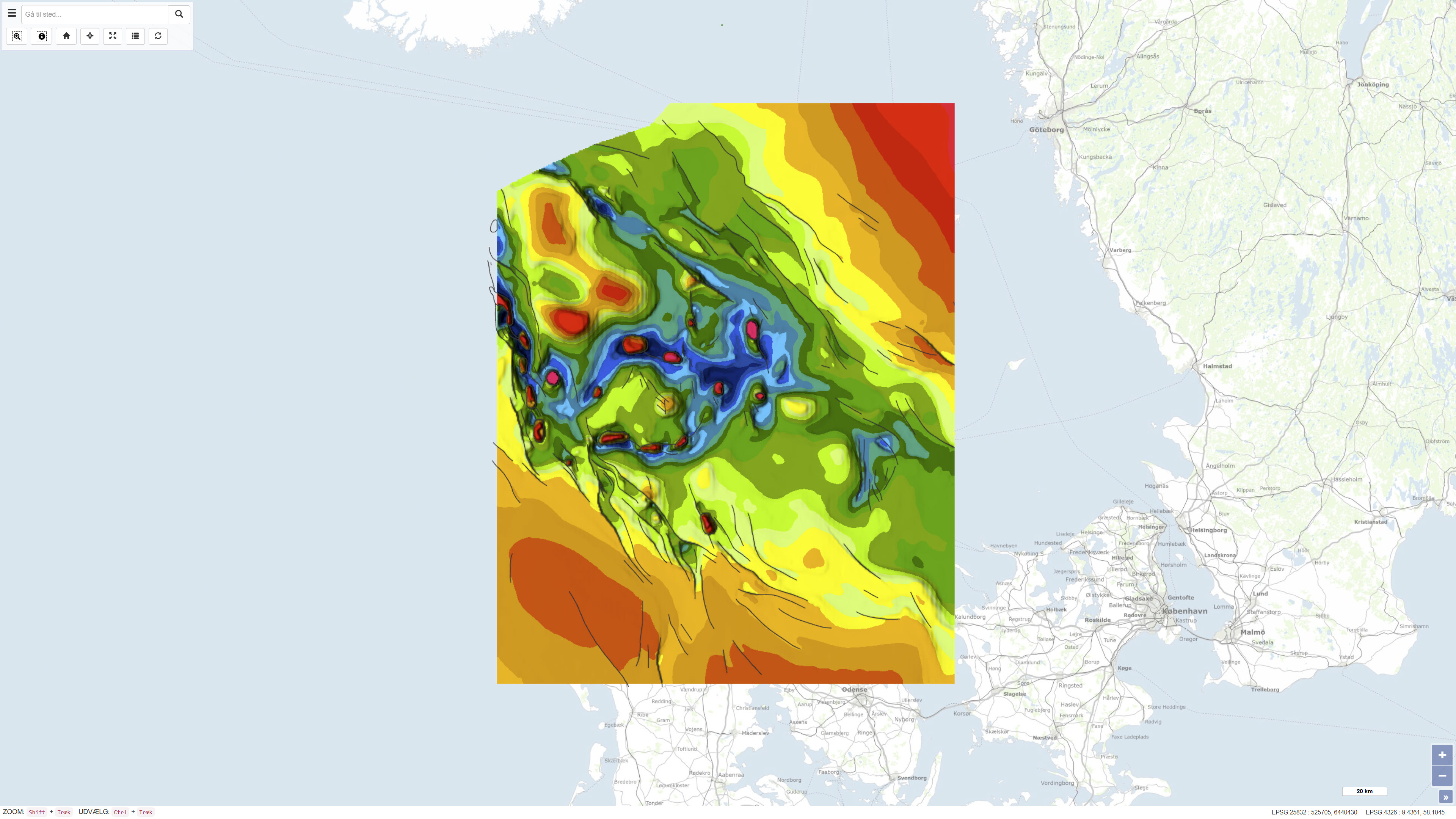
The dataset comprises a combined geological map of the Danish Basin showing the distribution, depth conditions, and thickness variations of the Top Triassic and Jurassic–Lower Cretaceous units. The maps illustrate the regional structure and stratigraphic framework of the basin and provide an overview of its geological development from the Late Triassic to the Early Cretaceous. The presentation is based on a synthesis of borehole data, seismic information, and stratigraphic interpretations and is produced at a scale of 1:400.000. The maps were published in 1991 as part of the DGU Map Series No. 30.