 Arctic SDI catalogue
Keyword
Mineral Administration
Type of resources
Available actions
Topics
Keywords
Contact for the resource
Provided by
Formats
Representation types
Update frequencies
status
Scale
From
1
-
1
/
1
-
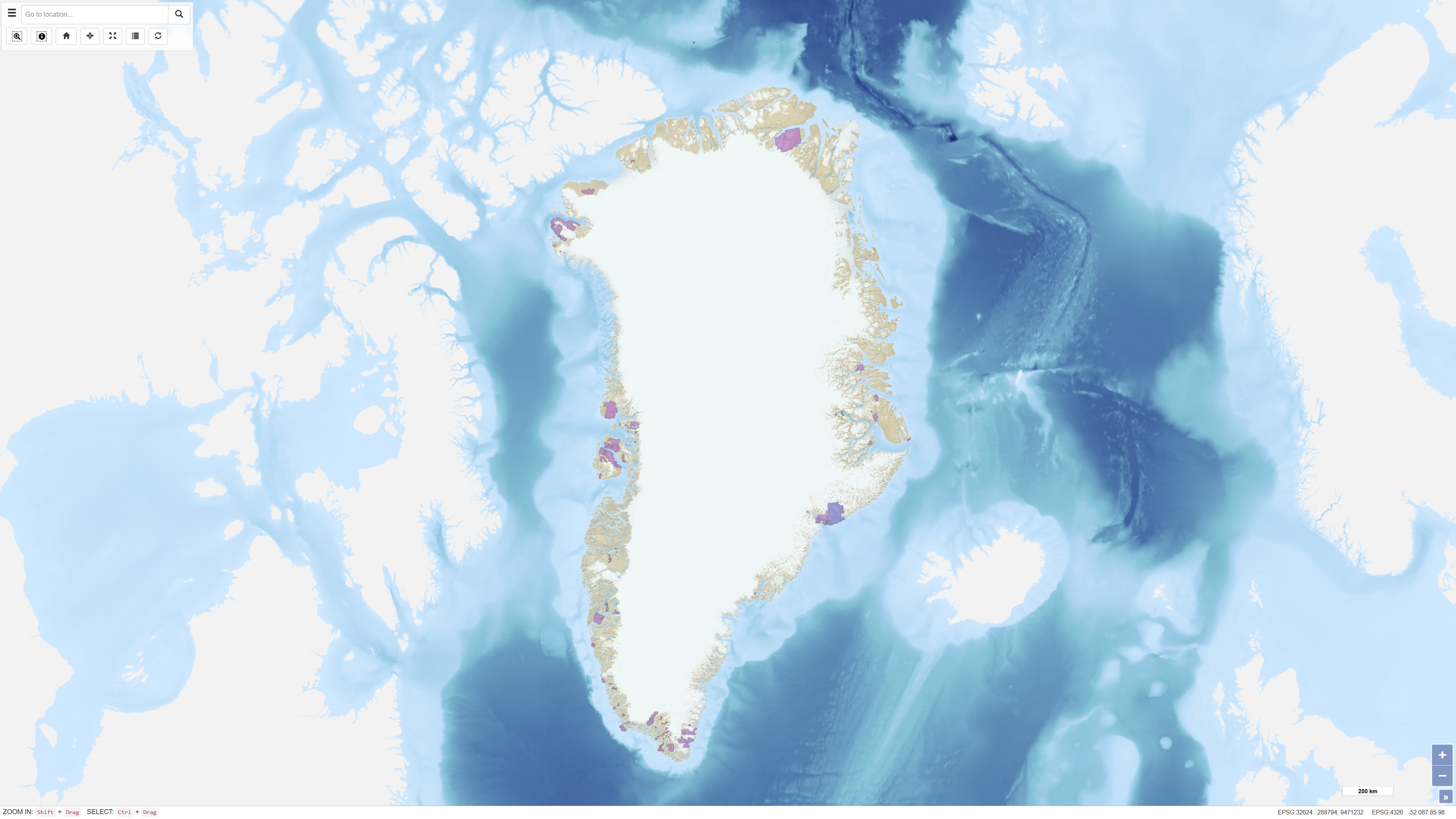
The dataset contains polygons representing active mineral exploration licences in Greenland. The data are based on geographic information provided via WFS by the Ministry of Mineral Resources in Greenland and are redistributed without modification of the original boundaries. The dataset provides an overview of areas where companies currently hold valid exploration licences.