 Arctic SDI catalogue
FlatGeobuf
Type of resources
Available actions
Topics
Keywords
Contact for the resource
Provided by
Years
Formats
Scale
-
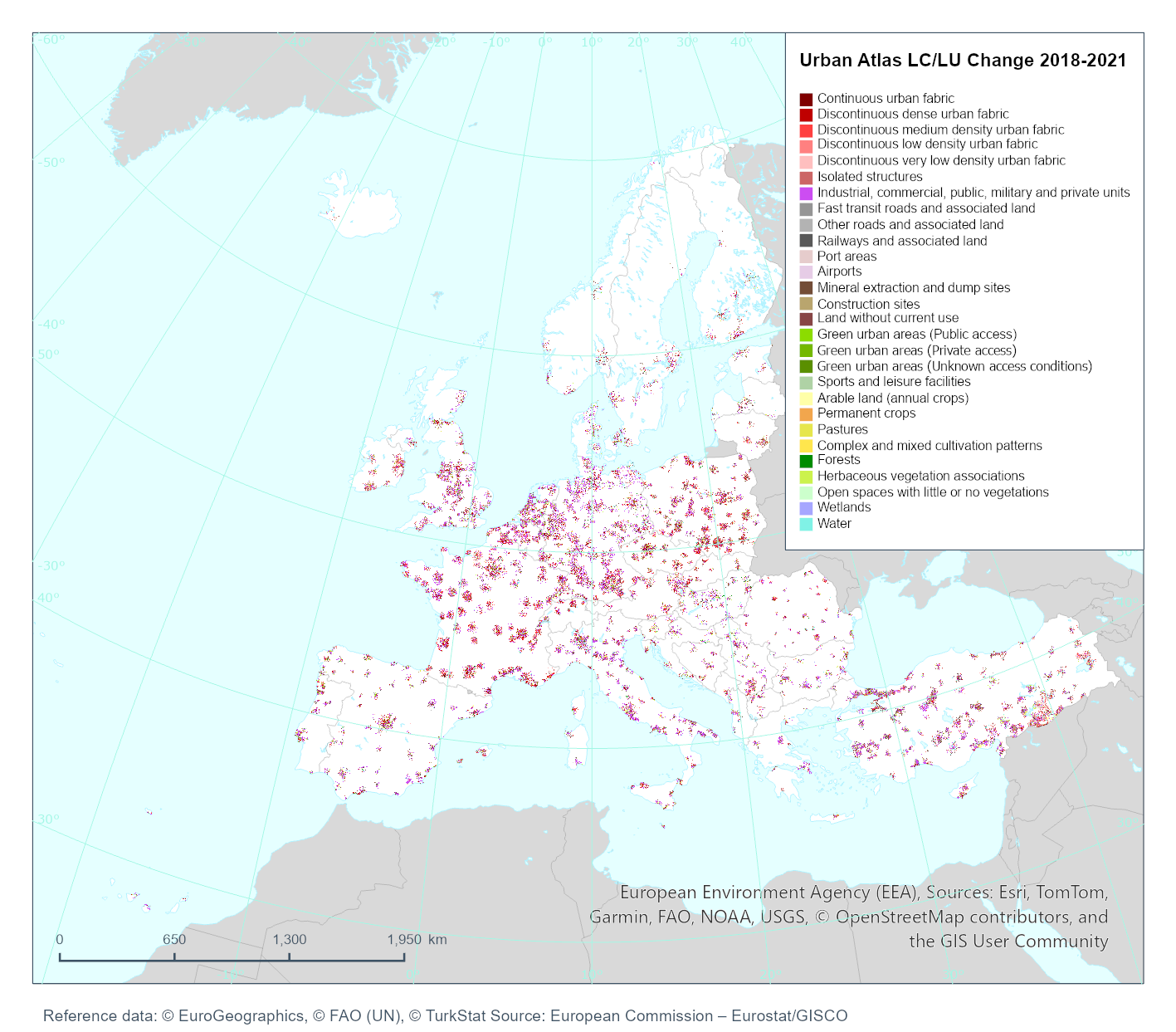
Urban Atlas Land Cover/Land Use Change 2018-2021 provides reliable, inter-comparable, high-resolution land use and land cover change data for 764 Functional Urban Areas (FUA) with more than 50,000 inhabitants for the 2021 reference year in EEA38 countries (EU, EFTA, Western Balkans countries, as well as Türkiye) and the United Kingdom.
-

Urban Atlas Land Cover/Land Use 2018 provides reliable, inter-comparable, high-resolution land use and land cover data for 764 Functional Urban Areas (FUA) with more than 50,000 inhabitants for the 2018 reference year in EEA38 countries (EU, EFTA, Western Balkans countries, as well as Türkiye) and the United Kingdom.
-
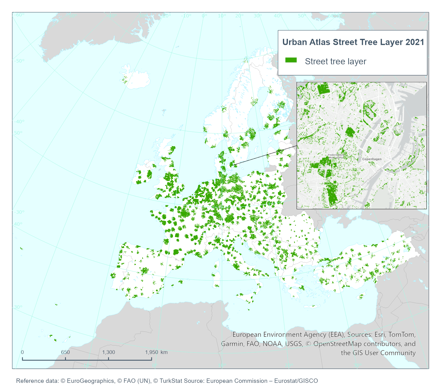
Urban Atlas Street Tree Layer 2021 provides information about presence of trees within Functional Urban Areas (FUA).
-

Urban Atlas Land Cover/Land Use 2021 provides reliable, inter-comparable, high-resolution land use and land cover data for 790 Functional Urban Areas (FUA) with more than 50,000 inhabitants for the 2021 reference year in EEA38 countries (EU, EFTA, Western Balkans countries, as well as Türkiye) and the United Kingdom.