1.1.4. Habitat Conservation Partnerships
Type of resources
Available actions
Topics
Keywords
Contact for the resource
Provided by
Formats
Representation types
Update frequencies
status
-

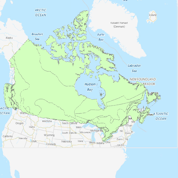
This national dataset contains geographic range data for 488 Species at risk based on NatureServe data, SAR recovery strategies, Environment Canada resources and COSEWIC status reports.
-

The Canadian Protected and Conserved Areas Database (CPCAD) is the authoritative source of data on protected and conserved areas in Canada. The database consists of the most up-to-date spatial and attribute data on marine and terrestrial protected areas in all governance categories recognized by the International Union for Conservation of Nature (IUCN), as well as Other effective area-based conservation measures (OECMs, or conserved areas) across the country. Indigenous Protected and Conserved Areas (IPCAs) are also included if they are recognized as protected or conserved areas. CPCAD adheres to national reporting standards and is freely available to the public. CPCAD is compiled and managed by Environment and Climate Change Canada (ECCC), in collaboration with federal, provincial, territorial, and other reporting authorities that provide the data. The database contains combined data from all these Canadian reporting authorities, who have determined that their areas meet the Canadian criteria as protected or conserved areas. CPCAD is used by a wide range of organizations, including governments, environmental non-governmental organizations (ENGOs), academia, land managers, industry, and the general public. CPCAD supports many of the Government of Canada’s priorities including Canada’s national reporting on protected areas, Canada’s international reporting on protected areas as a result of Canada’s commitments under the United Nations Convention on Biological Diversity, and Canada’s protected areas program by providing baseline information. More detailed information on CPCAD is available by downloading the User Manual. The data is current as of the date of the most recent revision. For prior years, please reach out to scf-geocarto-cws-geomapping@ec.gc.ca.
-
Since 1988, the governments of Canada and Quebec have been working together to conserve, restore, protect and develop the St. Lawrence River under the St. Lawrence Action Plan (SLAP). One of the projects identified under the theme of biodiversity conservation is the development of an integrated plan for the conservation of the natural environments and biodiversity of the St. Lawrence River. The identification of priority sites for conservation has been the first step of this planning exercise. Conservation planning of natural environments requires a reliable, accurate and up-to-date image of the spatial distribution of ecosystems in the study area. In order to produce an Atlas of Priority Sites for Conservation in the St. Lawrence Lowlands, an updated cartography of the land cover of this vast territory was undertaken. This project required obtaining reliable information on the natural environments of the St. Lawrence Lowlands. Although several land cover mapping projects have been conducted for specific types of habitats, it was particularly important to obtain a homogeneous product that would cover the entire territory and that would provide the most detailed information on its various thematic components: agricultural, aquatic, human-modified and forest environments, wetlands as well as old fields and bare ground. The methodology used to produce the land cover mapping of the St. Lawrence Lowlands thus relied mainly on combining and enhancing the best existing products for each theme. This project was made in collaboration with MDDELCC as part of the St. Lawrence Action Plan (SLAP).
 Arctic SDI catalogue