 Arctic SDI catalogue
Climate adaptation
Type of resources
Categories
Available actions
Topics
Keywords
Contact for the resource
Provided by
Formats
Representation types
Update frequencies
status
Scale
-
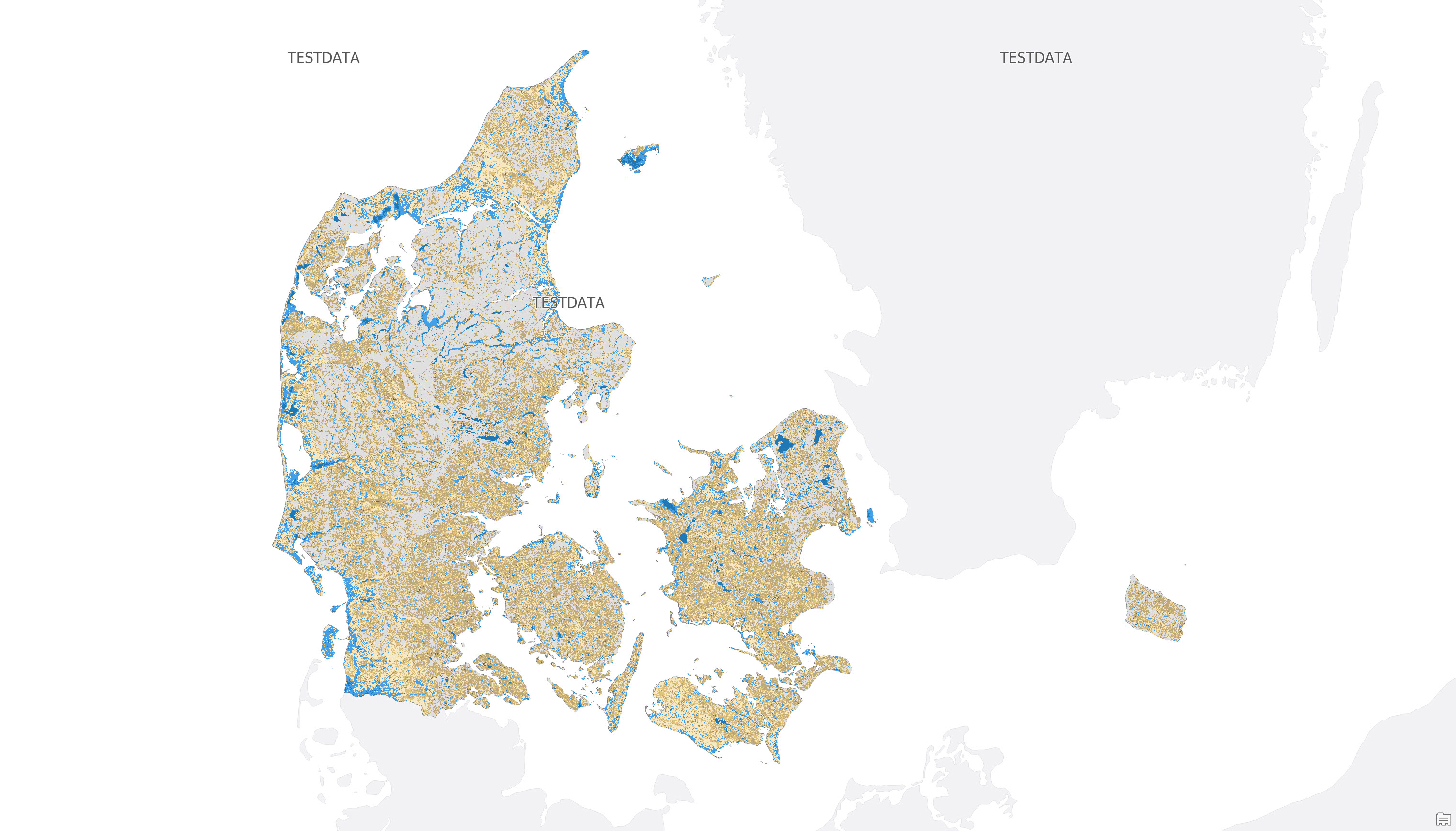
The dataset provides supporting groundwater depth values as a supplement to the mapping of potential groundwater flooding hazard areas in Denmark. The dataset shows the depth to the projected typical winter groundwater table in metres below terrain for the period 2071-2100 under the RCP8.5 emissions scenario. The depth values can be used to interpret and add detail to the potential hazard areas, including how close the groundwater table is expected to be to the terrain surface. The dataset is provided as raster data with a spatial resolution of 10 × 10 m.
-
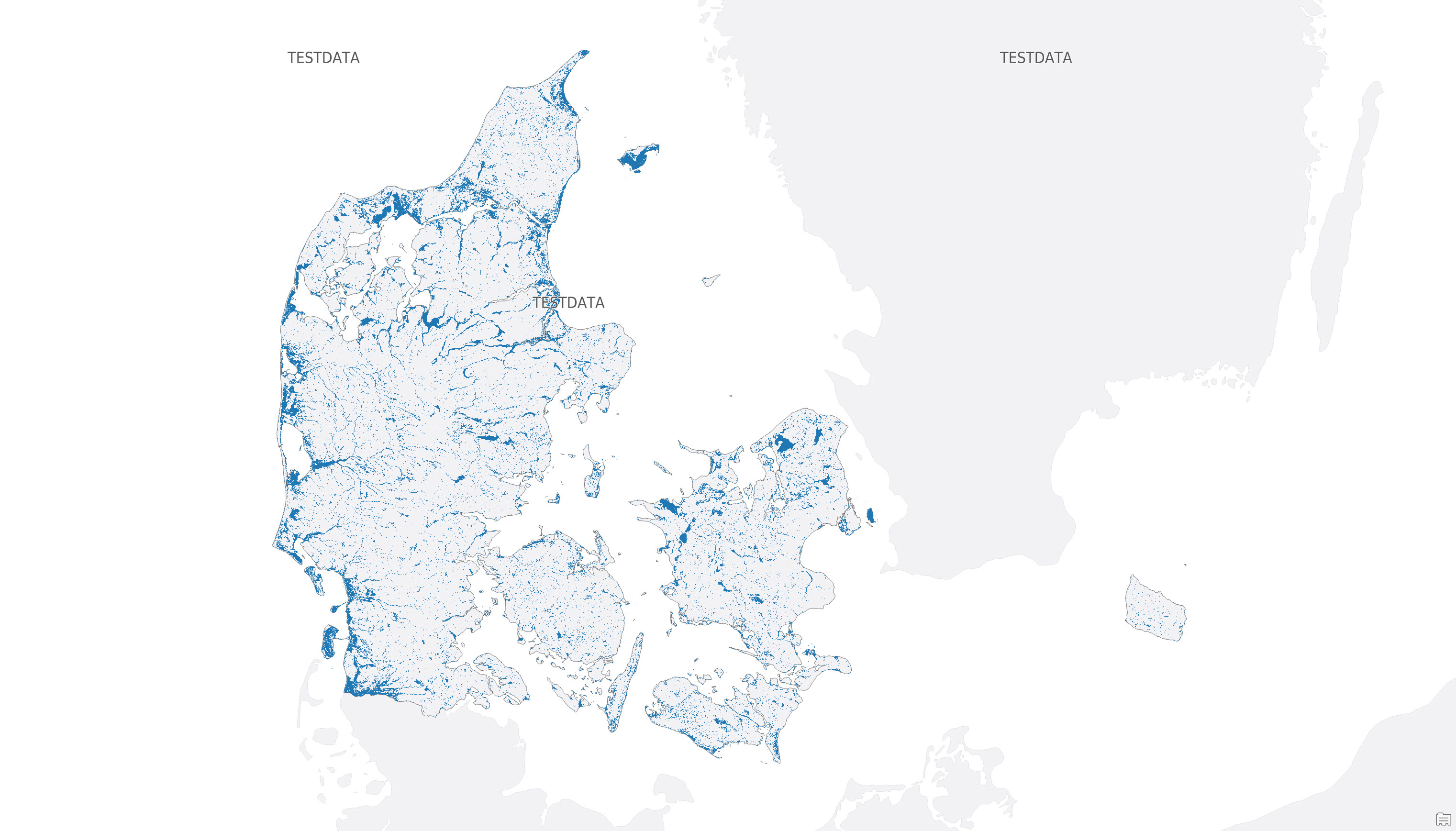
The dataset shows mapped potential hazard areas for groundwater flooding in Denmark. It identifies areas that are potentially exposed to flooding from groundwater, based on a threshold corresponding to a median winter groundwater table of 1 m below terrain or less for the period 2071-2100 under the RCP8.5 emissions scenario. The dataset is provided as raster data with a spatial resolution of 10 × 10 m and forms part of the data basis for the national maps of potential groundwater hazard areas.