 Arctic SDI catalogue
Emergency preparedness
Type of resources
Available actions
Topics
Keywords
Contact for the resource
Provided by
Formats
Representation types
Update frequencies
status
-

Full rupture of the Leech River Fault, a fault that cuts southern Vancouver Island and extends beneath Greater Victoria. Based on current science, this magnitude 7.3 earthquake scenario represents the strongest ground shaking event that could strike the region, and is one of Greater Victoria’s most severe events.
-

A magnitude 5 earthquake scenario along an unnamed fault located about 15 km north-northeast of Burnaby City Hall and directly south of Mt Elsay. This fault is not known to be active, but this scenario represents a small but damaging event in the North Shore Mountains.
-
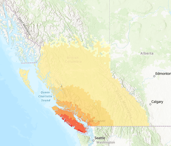
Full rupture of the Cascadia interface fault, the fault defining the boundary between the North American and Pacific Ocean plates. This magnitude 9.0 event, often referred to as ‘The Big One’, affects most communities in southwestern British Columbia.
-

A magnitude 5.9 earthquake near Montreal, along the Milles-Îles Fault. This fault is not known to be active, but this scenario represents a small but damaging event near the City of Montreal.
-

Magnitude 5.7 earthquake scenario located directly southeast of Ladysmith Town Centre. This fault is not known to be active, but this scenario represents a small but damaging event near Ladysmith and Burleith Arm.
-

This is a magnitude 5.0 earthquake scenario under Lake Ontario, very close to Toronto. This fault is not known to be active but demonstrates a plausible earthquake scenario for Toronto region.
-

In 1949 a magnitude 8.1 earthquake occurred on the Queen Charlotte Fault, off the west coast of the Haida Gwaii archipelago. This magnitude 7.7 scenario along the Queen Charlotte Fault is slightly different and closer to population centres than the magnitude 7.8 earthquake that occurred in 2012.
-

In 1997, a magnitude 4.6 earthquake occurred 3 to 4 km beneath the Strait of Georgia, near Vancouver. This scenario visualizes the effects of that event if it occurred today with a magnitude of 5.0. A magnitude 7.0 Georgia Strait scenario is also provided, and represents a less likely but more consequential case for comparison.
-
The National Earthquake Scenario Catalogue, presents the probable shaking, damage, loss and consequences from hypothetical earthquakes that could impact Canadians. It considers only damage to buildings, and their inhabitants, from earthquake shaking, and therefore does not include damage to critical infrastructure or vehicles. Losses from secondary hazards, such as aftershocks, liquefaction, landslides, or fire following are also not currently included. The information is provided at the approximate scale of Census dissemination areas, and is intended to support planning and emergency management activities in earthquake prone regions. This project is run by the Geological Survey of Canada's Public Safety Geoscience Program.
-

Faults in the valleys near Ottawa could rupture and produce strong, shallow earthquakes. This magnitude 5.5 scenario visualizes the effects of such an event. It does not represent the most severe earthquake that could occur, but one that is more likely and could still cause damage.