 Arctic SDI catalogue
Industrie minière
Type of resources
Available actions
Keywords
Contact for the resource
Provided by
Years
Formats
Representation types
Update frequencies
status
Service types
-
Cet ensemble de données fournit de l’information sur le secteur de l’activité minière en Ontario, en incluant une compagnie, un projet, et un type d’activités. Pour plus d’information, référez-vous à Géologie Ontario, un entrepôt en ligne qui contient toutes les données digitales publiquement disponibles qui sont trouvées sur les sites Internet suivants : http://www.geologyontario.mndm.gov.on.ca/ or http://www.mndm.gov.on.ca/fr/mines-et-des-mineraux/applications/ogsearth/rapports-dactivite-sur-lexploration-des-mineraux
-

Leaf area index (LAI) quantifies the density of vegetation irrespective of land cover. LAI quantifies the total foliage surface area per groud surface area. LAI has been identified by the Global Climate Observing System as an essential climate variable required for ecosystem,weather and climate modelling and monitoring. This product consists of time series of LAI observed between 2016 and 2025 over reclamation sites in Alberta, Canada May and October. The temporal frequency depends on cloud cover.
-

Nuclear licensees operate across Canada. This includes uranium mines and mills, uranium processing facilities, nuclear power plants, research reactors, particle accelerators, and nuclear substances processing facilities. All of these facilities are licensed by the CNSC and are subject to strict regulatory oversight to ensure the safety of the public and the environment.
-

This database aggregates basic information on orphaned and abandoned mine sites from participating Canadian jurisdictions, including their name, location, jurisdiciton, and the commodity that was mined. It was originally created in 2012 through the National Orphaned/Abandoned Mines Initiative and has undergone several updates since that time. Data on sites in each jurisdiction is owned and maintained by that jurisdiction. The database includes links to the corresponding records in that jursidiction. While the database includes common informaiton about all sites, there may be discrepancies in the types of data provided about sites in different jurisdictions and data from some jurisdictions may be updated more frequently than others.
-
Emplacement des grandes infrastructures, de ressources, projets pétroliers et gaziers au Nunavut, Territoires du Nord-Ouest et du Yukon. Les données et les cartes sont pour des fins d'illustration seulement.
-
The objective of the Independent Environmental Monitoring Program (IEMP) is to build Indigenous and public trust in the Canadian Nuclear Safety Commission's (CNSC) regulation of the nuclear industry, via an independent, technical and accessible environmental sampling program around nuclear facilities, while using CNSC resources effectively and efficiently. For more information: www.Nuclearsafety.gc.ca/IEMP
-

Location of Major Infrastructure, Resource, Oil and Gas Projects in Nunavut, Northwest Territories and Yukon. Data and maps for illustrative purposes only. Users understand that, although all efforts have been made to accurately and exhaustively compile, locate and classify projects, the authors do not guarantee the accuracy and/or the comprehensiveness of the data and assume no responsibility for errors or omissions. CanNor does not assume responsibility for errors or omissions. In support of this initiative, proponents and partners are encouraged to contact CanNor should they identify any errors or omissions.
-

The Examine documentary collection contains more than 80,000 documents (bibliographical data, reports, maps). **This dataset only contains the location of the documents**. A link in the data provides access to reports, maps, and other data.**This third party metadata element was translated using an automated translation tool (Amazon Translate).**
-

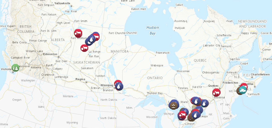
Natural Resources Canada’s Major Projects Inventory published annually, provides a snapshot of major natural resource projects in Canada that are either currently under construction or are planned within the next 10 years. The inventory includes major projects that increase, extend or improve natural resource production in Canada, including new extraction projects, infrastructure projects, major processing facilities and large expansion projects. In addition, the inventory includes information on the value, timing and geographic location of projects. To be included in the inventory, projects in the energy and mining sectors must meet a minimum capital worth threshold of $50 million and electricity and forest sector projects must meet a threshold of $20 million. Also included in the inventory are clean energy and clean technology projects, which must meet a minimum capital worth threshold of $10 million. DISCLAIMER: Data is sourced from federal, provincial, and territorial databases, publicly accessible websites, and other sources, including CANOILS. Data and maps are for illustrative purposes only. Users understand that, although all efforts have been made to accurately and exhaustively compile, locate and classify projects, the authors do not guarantee the accuracy and/or the comprehensiveness of the data and assume no responsibility for errors or omissions. The routes of the proposed transmission lines and pipelines are approximations, often using only start and end points. In support of this initiative, proponents and partners are encouraged to contact Natural Resources Canada should they identify any significant errors or omissions.
-

The Indigenous Mining Agreements dataset provides information on the Indigenous communities signatory to agreements, the types of agreements negotiated, exploration projects and producing mines.