 Arctic SDI catalogue
Livestock
Type of resources
Topics
Keywords
Contact for the resource
Provided by
Formats
Representation types
Update frequencies
status
-

The Agri-Environmental Spatial Data (AESD) product from the Census of Agriculture provides a large selection of farm-level variables from the Census of Agriculture and uses alternative data sources to improve the spatial distribution of the production activities. Therefore, the AESD database offers clients the possibility to better analyze the impact of agriculture activities on the environment and produce key indicators, or for any applications where accurate location of activities matters. Variables are offered using two types of physical boundaries: by Soil Landscape of Canada polygons and by Sub-sub-drainage areas (watersheds). The focus of the redistribution of the data is on the field crops and land use variables, but the database includes all census variables related to crops, livestock and management practices. This frame can also be used to extract Census of Agriculture data by custom geographic areas. Also, users interested in this version of the Census of Agriculture database using administrative types of regions can request it. In both cases, please contact Statistics Canada. This file was produced by Statistics Canada, Agriculture Division, Remote Sensing and Geospatial Analysis section, 2022, Ottawa.
-

This dataset includes various agrotourism businesses as well as industrial, craft or service companies that produce or sell local products on site. These businesses can offer activities that allow you to become familiar with their production or manufacturing methods. Among others, we find sugar shacks, chocolate factories, vineyards, vineyards, agricultural businesses that grow small fruits or vegetables, animal farms, orchards, cider factories, distilleries, distilleries, shops selling local products. Please note that this dataset is an overview of the tourist offer in Quebec and is not intended to identify the entire offer. This data comes from the Quebec Tourism Information System (SIT Quebec). In addition, if your interest lies in obtaining official indicators and statistics on the Quebec tourism industry, we invite you to explore the Tourism Studies and Statistics section of the Québec.ca site at the following link: https://www.quebec.ca/tourisme-et-loisirs/services-industrie-touristique/etudes-statistiques.**This third party metadata element was translated using an automated translation tool (Amazon Translate).**
-
Mariculture includes several different types of activities in public marine areas, such as the cultivation and harvesting of seaweed, the harvesting of green urchins, and the breeding of blue mussels or scallops, among others. Each of these activities has very distinct environmental, physicochemical and biological needs, in addition to having to coexist safely with other human activities and constraints in the maritime environment. For these reasons, mariculture activities must take place in delimited and reserved marine areas, and therefore require a permit. The “Maricolous Sites” data set brings together under provincial coverage (polygons) the information contained in the permits issued by the regional directorates. It identifies businesses, and presents their permit numbers, types of activities and species that they are authorized to raise, as well as the location and area of sites (polygons) under permits and authorizations to operate a mariculture site issued by MAPAQ.**This third party metadata element was translated using an automated translation tool (Amazon Translate).**
-
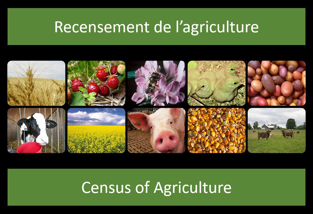
These files from Statistics Canada present Census of Agriculture data allocated by standard census geographic polygons: Provinces and Territories (PR), Census Agricultural Regions (CAR), Census Divisions (CD) and Census Consolidated Subdivisions (CCS). Five datasets are provided: 1. Agricultural operation characteristics: includes information on farm type, operating arrangements, paid agricultural work and financial characteristics of the agricultural operation. 2. Land tenure and management practices: includes information on land use, land tenure, agricultural practices, land inputs, technologies used on the operation and the renewable energy production on the operation. 3. Crops: includes information on hay and field crops, vegetables (excluding greenhouse vegetables), fruits, berries, nuts, greenhouse productions and other crops. 4. Livestock, poultry and bees: includes information on livestock, poultry and bees. 5. Characteristics of farm operators: includes information on age, sex and the hours of works of farm operators. Note: For all the datasets, confidential values have been assigned a value of -1. Correction notice: On January 18, 2023, selected estimates have been corrected for selected variables in the following 2021 Census of Agriculture domains: Direct sales of agricultural products to consumers (Agricultural operations category), Succession plan for the agricultural operation (Agricultural operators category), and Renewable energy production (Use, tenure and practices category).