Meteorological geographical features
Type of resources
Available actions
Topics
Keywords
Contact for the resource
Provided by
Years
Formats
Representation types
Scale
-
This file contains surface parameters
-
This file contains height level parameters.
-
This file contains output from Control member. Contains most forecast parameters on surface, model level and pressure levels The Norwegian Meteorological Institute has provided forecasts of the weather in the High North for a long time. Our Development Centre for Weather Forecasting has developed a high-resolution model that forecasts the weather in this area for the next three days. The model is called AROME-Arctic and has been running since November 15th, 2015. The geographic resolution is 2.5 kilometres, which is the same as in the model that the Norwegian Meteorological Institute uses to forecast the weather elsewhere in Norway. AROME-Arctic gives a detailed representation of processes on the ground and in the atmosphere. In addition to Svalbard and northern Norway, the model also covers a large area of sea, which is a challenge due to the sparsity of observations. Thus, satellite observations are particularly important for this model.
-
This file contains height level parameters.
-
This file contains output from ensemble. Contains several surface parameters, and some pressure level parameters. Updated every 3 hours.
-
This file contains model level parameters.
-
This file contains prediction of track of polar lows over the first 42 hours.
-
This file contains output from ensemble. Contains vertical profiles and cross sections.
-

Gögnin innhalda staðsetningu veðurstöðva sem eru í eigu Vegagerðarinnar og staðsettar eru við þjóðvegi en einnig veðurstöðvar í eigu Veðurstofunnar og annarra.
-

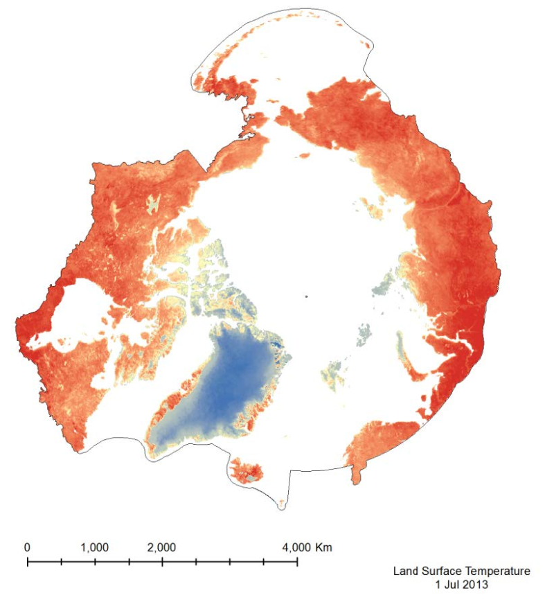
The MODIS Land Surface Temperature (LST) product provided is a monthlycomposite configured on a 0.05° Climate Model Grid (CMG). It includes both daytime andnighttime surface temperatures, taken at 11 um and 4 um (night). This product has beenscaled. To convert the raster values to a Kelvin temperature scale, multiply by a factor of 0.02.
 Arctic SDI catalogue