5000
Type of resources
Available actions
Topics
Keywords
Contact for the resource
Provided by
Years
Formats
Scale
-

Gögnin innhalda staðsetningu veðurstöðva sem eru í eigu Vegagerðarinnar og staðsettar eru við þjóðvegi en einnig veðurstöðvar í eigu Veðurstofunnar og annarra.
-

Staðsetning á mælipunktum sem nýttir eru til að fylgjast með breytingum á jökulsporðum. Mælt af sjálfboðaliðum og/eða félögum JÖRFÍ
-

Útlínur byggðar á kortlagningu á jökulgarða og annarra landforma sem jöklar skilja eftir. Einnig er byggt á rituðum heimildum, frásögnum heimamanna og ferðafólks, ljósmyndum og öðrum tiltækum gögnum. Um er að ræða niðurstöður margra rannsóknarhópa. Flestir jöklar náðu hámarksútbreiðslu í kringum 1890, en meðal undantekninga frá því er Drangajökull sem náði mestri útbreiðslu um miðja 19. öld.
-

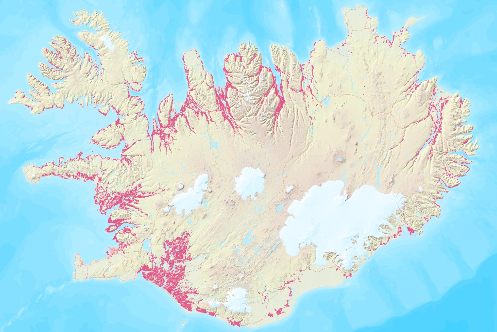
Unnið er að samantekt um skurðakortlagninguna þar sem gerð verður grein fyrir markmiðum, grunnmyndum, aðferðum og niðurstöðum. Samantektin verður birt í riti LbhÍ. Mælikvarði / Appropriate scale 1:2000 - 1:5000 Summary for the ditchmap will be prepared as a LbhÍ report.
-

Útlínur dregnar eftir uppréttum loftmyndum frá Loftmyndum ehf. og einnig eftir Landsat 8 gervihnattamyndum á nokkrum stöðum.
-

Staðsetning íslenskra jökla ásamt nafni og GLIMS auðkenni. Útlínur dregnar eftir uppréttum Sentinel-2 og Pléiades gervihnattamyndum ásamt loftmyndum frá Loftmyndum ehf. á stöku stað. Útlínur hafa verið mældar í kringum 1890, 1945-1946, 1970-1980, 1998-2004, 2007-2013, 2014, 2017, 2019, 2021, 2023 og 2025 og öll gagnalögin er að finna í þjónustum Veðurstofnunnar.
-

Útlínur dregnar á grundvelli háupplausnarlandlíkana sem mæld voru með leysimælitækum úr flugvél á árunum 2007 til 2013.
-

Íslenska: Vetrarfuglatalningar eru ein lengsta samfellda vöktun sem stunduð hefur verið hér á landi og sú sem tekur til flestra fuglategunda. Frá upphafi hafa áhugamenn unnið þetta verk í sjálfboðavinnu og á annað hundrað manns taka þátt. Talningar fara fram á föstum dögum í kringum áramót. Markmið vetrarfuglatalninga er að safna upplýsingum um fjölda og dreifingu fugla að vetrarlagi. Talningar eru staðlaðar og nýtast til vöktunar einstakra stofna. Sjá niðurstöður vetrarfuglatalninga: https://www.natt.is/is/vetrarfuglatalningar-nidurstodur English: Winter bird counts are one of the longest-running continuous monitoring efforts in Iceland and the one that covers the greatest number of bird species. From the beginning, this work has been carried out by volunteers, with around a hundred people participating. The counts take place on fixed dates around the New Year. The aim of the winter bird counts is to collect information on the number and distribution of birds during the winter. The counts are standardized and are used to monitor individual populations. See the results of the winter bird counts: https://www.natt.is/is/vetrarfuglatalningar-nidurstodur
-

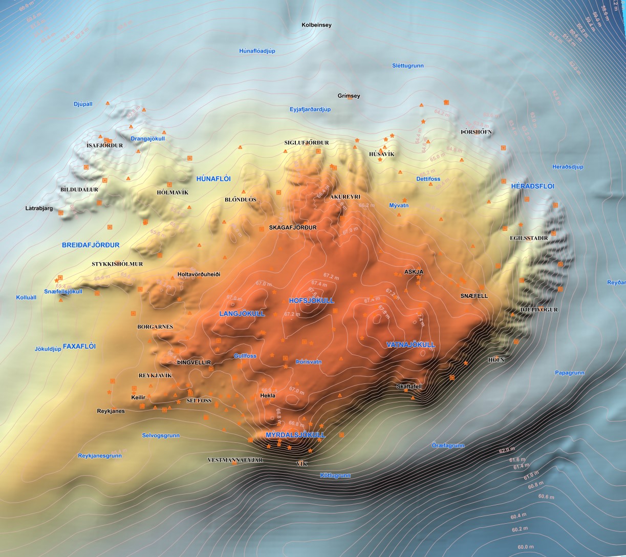
Í desember 2011 var ný geóíða reiknuð fyrir Ísland í samstarfi við DTU Space í Danmörku. Megin tilgangur þessara útreikninga var að reikna nýja og nákvæmari geóíðu af Íslandi og tengja hana við Landshæðarkerfi Íslands ISH2004. Nánari upplýsingar eru á heimasíðu Landmælinga Íslands, nánar tiltekið hér: https://www.lmi.is/is/maelingar/grunnkerfi/geoida
-

Útlínur dregnar eftir Landsat og SPOT-5 gervihnattamyndum, uppréttum loftmyndum frá Loftmyndum ehf. og skáflugmyndum.
 Arctic SDI catalogue