Nuclear energy
Type of resources
Available actions
Topics
Keywords
Contact for the resource
Provided by
Formats
Representation types
Update frequencies
status
-

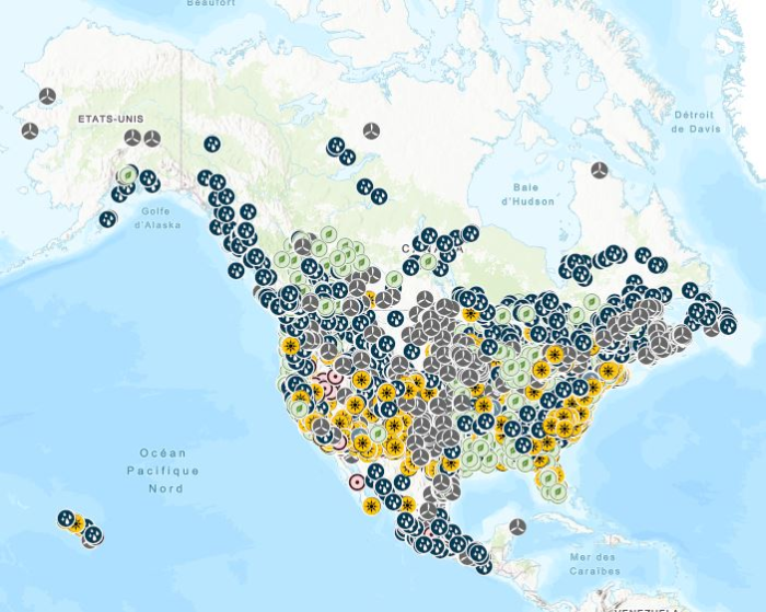
Stations containing prime movers, electric generators, and auxiliary equipment for converting mechanical, chemical into electric energy with an installed capacity of 1 Megawatt or more generated from renewable energy, including biomass, hydroelectric, pumped-storage hydroelectric, geothermal, solar, and wind. Mapping Resources implemented as part of the North American Cooperation on Energy Information (NACEI) between the Department of Energy of the United States of America, the Department of Natural Resources of Canada, and the Ministry of Energy of the United Mexican States. The participating Agencies and Institutions shall not be held liable for improper or incorrect use of the data described and/or contained herein. These data and related graphics, if available, are not legal documents and are not intended to be used as such. The information contained in these data is dynamic and may change over time and may differ from other official information. The Agencies and Institutions participants give no warranty, expressed or implied, as to the accuracy, reliability, or completeness of these data. Parent Collection: [North American Cooperation on Energy Information, Mapping Data](https://open.canada.ca/data/en/dataset/aae6619f-f9f3-435d-bc32-42decd58b674)
-

Stations containing prime movers, electric generators, and auxiliary equipment for converting mechanical, chemical, and/or fission energy into electric energy with an installed capacity of 100 megawatts or more. Mapping Resources implemented as part of the North American Cooperation on Energy Information (NACEI) between the Department of Energy of the United States of America, the Department of Natural Resources of Canada, and the Ministry of Energy of the United Mexican States. The participating Agencies and Institutions shall not be held liable for improper or incorrect use of the data described and/or contained herein. These data and related graphics, if available, are not legal documents and are not intended to be used as such. The information contained in these data is dynamic and may change over time and may differ from other official information. The Agencies and Institutions participants give no warranty, expressed or implied, as to the accuracy, reliability, or completeness of these data. Parent Collection: [North American Cooperation on Energy Information, Mapping Data](https://open.canada.ca/data/en/dataset/aae6619f-f9f3-435d-bc32-42decd58b674)
-

The Canadian Nuclear Safety Commission (CNSC) is publishing a database with environmental monitoring results collected as part of the Eastern Athabasca Regional Monitoring Program. The samples are collected near communities located in northern Saskatchewan.
-
The Canadian Nuclear Safety Commission (CNSC) and Environment and Climate Change Canada (ECCC) are publishing databases with effluent and environmental monitoring results from nuclear facilities located along the Ottawa River watershed as part of the Regional Information and Monitoring Network (RIMNet) for the Ottawa River Watershed Basin initiative. The facilities included are Chalk River Laboratories, Nordion Canada Inc., SRB Technologies Canada Inc., and Nuclear Power Demonstration Waste Facility. The initiative was developed to address questions and concerns expressed by members of the public and Indigenous Nations and communities about the availability of publicly accessible environmental monitoring data in the Ottawa River Watershed Basin. More information about the initiative is available here: https://www.cnsc-ccsn.gc.ca/eng/resources/environmental-protection/rimnet/ This dataset contains effluent and environmental monitoring results from Chalk River Laboratories, Nordion Canada Inc., SRB Technologies Canada Inc., and Nuclear Power Demonstration Waste Facility. All of the effluent and emissions releases to the environment in this dataset are below the CNSC licensed release limits. All of the environmental monitoring results in this dataset are below environmental quality guidelines. More information about CNSC staff’s assessment of these facilities are found in CNSC staff’s regulatory oversight reports: https://www.cnsc-ccsn.gc.ca/eng/resources/publications/reports/regulatory-oversight-reports/
-

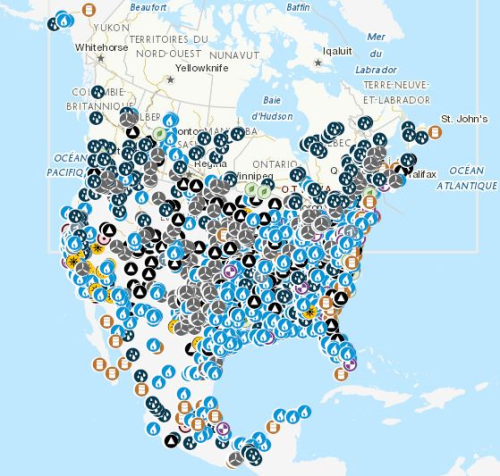
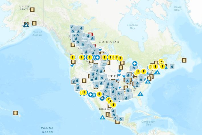
Mapping Resources on energy infrastructure and potential implemented as part of the North American Cooperation on Energy Information (NACEI) between the Department of Energy of the United States of America, the Department of Natural Resources of Canada, and the Ministry of Energy of the United Mexican States. [Natural Gas Processing Plants](https://open.canada.ca/data/en/dataset/636b9550-3700-4e66-8259-5cfc8159a784): Facilities designed to recover natural gas liquids from a stream of natural gas. These facilities control the quality of the natural gas to be marketed. [Refineries](https://open.canada.ca/data/en/dataset/57e7bc4c-680b-4640-9fa1-ded7ce186fab): Facilities that separate and convert crude oil or other feedstock into liquid petroleum products, including upgraders and asphalt refineries. [Liquefied Natural Gas Terminals](https://open.canada.ca/data/en/dataset/e08eec16-7c7a-4253-9bee-ea640d400a54): Natural gas onshore facilities used to receive, unload, load, store, gasify, liquefy, process and transport by ship, natural gas that is imported from a foreign country, exported to a foreign country, or for interior commerce. [Power Plants, 100 MW or more](https://open.canada.ca/data/en/dataset/40fbe40c-01cd-49d3-8add-0d20ed64c90d): Stations containing prime movers, electric generators, and auxiliary equipment for converting mechanical, chemical, and/or fission energy into electric energy with an installed capacity of 100 megawatts or more. [Renewable Power Plants, 1 MW or more](https://open.canada.ca/data/en/dataset/490db619-ab58-4a2a-a245-2376ce1840de): Stations containing prime movers, electric generators, and auxiliary equipment for converting mechanical, chemical into electric energy with an installed capacity of 1 Megawatt or more generated from renewable energy, including biomass, hydroelectric, pumped-storage hydroelectric, geothermal, solar, and wind. [Natural Gas Underground Storage](https://open.canada.ca/data/en/dataset/07b63e0e-09bb-4c4f-b057-63a58d40553a): Sub-surface facilities used for storing natural gas. The facilities are usually hollowed-out salt domes, geological reservoirs (depleted oil or gas field) or water bearing sands (called aquifers) topped by an impermeable cap rock. Border Crossings: [Electric transmission lines](https://open.canada.ca/data/en/dataset/35c51098-5cd8-44b0-b1cd-c8ce2f5dae89), [liquids pipelines](https://open.canada.ca/data/en/dataset/82053097-6b4f-44d9-a750-549df44b36b4) and [gas pipelines](https://open.canada.ca/data/en/dataset/e313db89-4219-4a5e-a543-772a86068710). [Solar Resource, NSRDB PSM Global Horizontal Irradiance (GHI)](https://open.canada.ca/data/en/dataset/9554ed18-6ab2-477f-9545-da091eba762f): Average of the hourly Global Horizontal Irradiance (GHI) over 17 years (1998-2014). Data extracted from the National Solar Radiation Database (NSRDB) developed using the Physical Solar Model (PSM) by National Renewable Energy Laboratory ("NREL"), Alliance for Sustainable Energy, LLC, U.S. Department of Energy ("DOE"). [Solar Resource, NSRDB PSM Direct Normal Irradiance (DNI)](https://open.canada.ca/data/en/dataset/a2dd0554-03f8-4edc-a3b3-67b47c5c9d6d): Average of the hourly Direct Normal Irradiance (DNI) over 17 years (1998-2014). Data extracted from the National Solar Radiation Database (NSRDB) developed using the Physical Solar Model (PSM) by National Renewable Energy Laboratory ("NREL"), Alliance for Sustainable Energy, LLC, U.S. Department of Energy ("DOE"). The participating Agencies and Institutions shall not be held liable for improper or incorrect use of the data described and/or contained herein. These data and related graphics, if available, are not legal documents and are not intended to be used as such. The information contained in these data is dynamic and may change over time and may differ from other official information. The Agencies and Institutions participants give no warranty, expressed or implied, as to the accuracy, reliability, or completeness of these data.
-

In August 2025 the Major Projects Office was launched, with the mandate to advance major projects in Canada and streamline federal regulatory project approval. This dataset was created to provide open access to key information about the projects and transformative strategies that have been referred to the Major Projects Office. This dataset can be layered with other data available on the Open Science and Data Platform. By accessing this data, users can conduct more comprehensive analyses to support evidence-based decision-making and inform regulatory processes including future impact assessments. Please visit the Major Projects Office for more information.
 Arctic SDI catalogue