 Arctic SDI catalogue
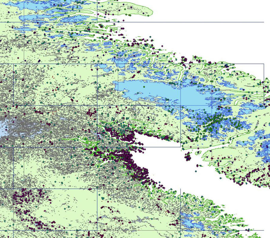
Water saturated soils
Type of resources
Available actions
Topics
Keywords
Contact for the resource
Provided by
Years
Formats
Representation types
Update frequencies
status
Service types
Scale
-
The VMap1 collection is a legacy product that is no longer supported. It may not meet current government standards. VMap1 is a vector digital topographic reference product developed by Natural Resources Canada (NRCan) and The Department of National Defence (DND). VMap1 complies with international military specifications vector map, level 1. There are 24 VMap1 libraries covering the Canadian territory. The National Topographic Data Base (NTDB) at scale of 1:250 000 is the main source used to populate the Canadian VMap1 Libraries. Administrative Boundaries from Statistics Canada are used to add international borders, provincial and Indian reserve limits. NRCan paper maps at scale of 1:250 000 and the information in the Canadian Geographical Names Data Base (CGNDB) are used to capture the names. The JOG (Joint Operations Graphic) paper maps were used by DND for the production of libraries 37, 38 and 66. Topographic features mainly from the NTDB have not been updated. VMap1 is published once and no product revision is planned.
-
The Toporama Web Map Service (Toporama WMS) of the Earth Sciences Sector (ESS) at Natural Resources Canada (NRCan) is an Internet service that is intended mainly for online map application users and developers. This service is compatible with OpenGIS® Consortium (OGC) (http://www.opengeospatial.org/) Web Map Service standards and specifications, version 1.1.1. Toporama WMS can be accessed at no cost and without restrictions according to the terms of the licence (http://www.geogratis.ca/geogratis/en/licence.jsp). Registration is optional, but is highly recommended to help users be better known and kept informed, and to improve service. The registration form is available on the GeoGratis Web (http://www.geogratis.ca/) site under the Register to users list section. This service can be used to build a customized map using the best baseline data from the ESS for a given scale. These data are known for being accurate and up-to-date. They are grouped together under 15 information themes developed, depending on the scale, using CanVec 1:50,000, the National Topographic Data Base (NTDB) 1:250,000 and baseline data from the Atlas of Canada.
-
The Toporama Web Map Service (Toporama WMS) of the Earth Sciences Sector (ESS) at Natural Resources Canada (NRCan) is an Internet service that is intended mainly for online map application users and developers. This service is compatible with OpenGIS® Consortium (OGC) (http://www.opengeospatial.org/) Web Map Service standards and specifications, version 1.1.1. Toporama WMS can be accessed at no cost and without restrictions according to the terms of the Open Government Licence - Canada (http://open.canada.ca/en/open-government-licence-canada). This service can be used to build a customized map using the best baseline data from the ESS for a given scale. These data are known for being accurate and up-to-date. They are grouped together under 15 information themes developed, depending on the scale, using CanVec 1:50,000, the National Topographic Data Base (NTDB) 1:250,000 and baseline data from the Atlas of Canada.
-
The Canada Transportation Base Map (CBMT) web map service of the Earth Sciences Sector at Natural Resources Canada, is an Internet service which is intended primarily for online map application users and developers. This service is compatible with OpenGIS® Consortium (OGC) (http://www.opengeospatial.org/) Web Map Service (WMS) standards and specifications, version 1.1.1. This base map service has been created to provide locational context with an emphasis on transportation networks over which thematic information can be overlaid. Cartography (colour, symbology, etc.) of the base map has been specifically designed so that thematic information will be more prominent than the locational context information. The range of viewing scales for this service is between 1:60,000,000 and 1:10,000. Features from the following data sets are used by the CBMT service: CanVec, GeoBase, the National Topographic Data Base and base data from the Atlas of Canada National Scale datasets.
-
CanVec contains more than 60 topographic features classes organized into 8 themes: Transport Features, Administrative Features, Hydro Features, Land Features, Manmade Features, Elevation Features, Resource Management Features and Toponymic Features.This multiscale product originates from the best available geospatial data sources covering Canadian Territory. It offers quality topographic information in vector format complying with international geomatics standards.
-
*** WARNING/ATTENTION: This service will close soon. Please consult -What s New- section at http://geogratis.gc.ca/. ATTENTION: Ce service WMS sera fermé prochainement. Consultez la section -Quoi de neuf- sur http://geogratis.gc.ca/.*** The Toporama Web Map Service (Toporama WMS) of the Earth Sciences Sector (ESS) at Natural Resources Canada (NRCan) is an Internet service that is intended mainly for online map application users and developers. This service is compatible with OpenGIS® Consortium (OGC) (http://www.opengeospatial.org/) Web Map Service standards and specifications, version 1.1.1. Toporama WMS can be accessed at no cost and without restrictions according to the terms of the Open Government Licence - Canada (http://open.canada.ca/en/open-government-licence-canada). This service can be used to build a customized map using the best baseline data from the ESS for a given scale. These data are known for being accurate and up-to-date. They are grouped together under 15 information themes developed, depending on the scale, using CanVec 1:50,000, the National Topographic Data Base (NTDB) 1:250,000 and baseline data from the Atlas of Canada. / Le service de cartes Web Toporama (SCW-Toporama) du Secteur des sciences de la Terre (SST) de Ressources naturelles Canada (RNCan) est un service Internet qui s'adresse principalement aux usagers et développeurs d'applications cartographiques en ligne. Ce service est compatible avec les normes et spécifications du service de cartes Web, version 1.1.1., de l'OpenGIS® Consortium (OGC) (http://www.opengeospatial.org/). L'accès au SCW-Toporama est sans frais et sans restrictions selon les termes de la Licence du gouvernement ouvert - Canada (http://ouvert.canada.ca/fr/licence-du-gouvernement-ouvert-canada). L'utilisation de ce service permet de construire une carte personnalisée qui utilise les meilleures données de base du SST pour une échelle donnée. Ces données sont réputées pour être précises et à jour. Elles sont regroupées sous 15 thèmes d'informations construits, selon l'échelle, à partir de CanVec 1/50 000, de la Base nationale de données topographiques (BNDT) 1/250 000 ou des données de base de l'Atlas du Canada.