National Land Survey of Finland
Type of resources
Available actions
Topics
Keywords
Contact for the resource
Provided by
Years
Formats
Representation types
Update frequencies
Service types
-

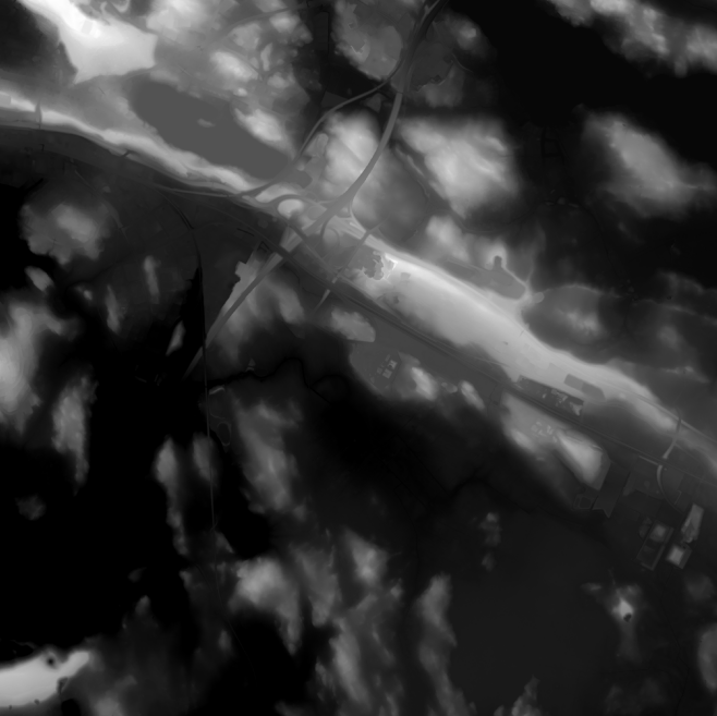
Elevation model 2 m is a model depicting the elevation of the ground surface in relation to sea level. Its grid size is 2 m x 2 m. The dataset is based on laser scanning data, the point density of which is at least 0.5 points per square metre. The product's coverage is based on nationwide laser scanning. In some parts of the outer archipelago or the eastern border, the elevation model is not available. Elevation model 2 m is produced in two quality classes: the elevation accuracy in class I is on average 0.3 metres and the elevation accuracy in class II varies between 0.3 metres and one metre. The product belongs to the open data of the National Land Survey of Finland.
-
The Arctic SDI Gazetteer Service is a service that contains authoritative place names data from the arctic area. The service can be used for searching place names and performing reverse geocoding. The service contains about 2.87 million place name locations with about 3.15 million place names. It contains data from following sources: * Canada (Natural Resources Canada, updated: 02/2018) * Denmark (including Greenland) (SDFE, updated: 05/2017) * Finland (National Land Survey of Finland, updated: 04/2017) * GEBCO Undersea feature names gazetteer (updated: 04/2019) * Iceland (National Land Survey of Iceland, updated: 08/2017) * Norway (Norwegian Mapping Authority, updated: 08/2017) * Russia (Russian Mapping Agency, updated: 04/2019) * Sweden (Swedish National Mapping Agency, updated: 05/2017) * USA (US Geological Survey, updated: 05/2017)
-
Download Service for ELF Land Cover
-
View Service for adresses spatial data theme
-
Download Service for ELF Rail Transport Networks
-
Download Service for ELF Protected Sites
-
Download Service for ELF Rail Transport Networks
-
Download Service for ELF Buildings 2D Core
-
Direct Access Download Service for ELF Addresses LoD0. Changes and downtime may occur.
-
Direct Access Download Service for ELF Buildings LoD0. Changes and downtime may occur.
 Arctic SDI catalogue