 Arctic SDI catalogue

nrcan.clss-satc.rncan@canada.ca
Type of resources
Available actions
Topics
Keywords
Contact for the resource
Provided by
Formats
Representation types
Update frequencies
status
-
Survey records are the legal survey documents (plans, field notes, reports, diaries) that reflect the work done on the ground. The Canada Lands Survey Records provide a mechanism to ensure safekeeping of and access to legal survey documents for Canada Lands.
-
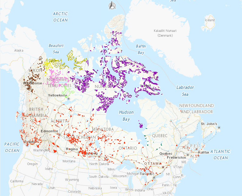
The Aboriginal Lands of Canada Legislative Boundaries web service includes legislative boundaries of Indian Reserves, Land Claim Settlement Lands (lands created under Comprehensive Land Claims Process that do not or will not have Indian Reserve status under the Indian Act) and Indian Lands. More specifically it includes the following lands: 1) Indian Reserves that include: 1.1) surrendered lands or a reserve, as defined in the Indian Act (this definition excludes Indian Settlements and Indian Communities); and 1.2) Sechelt lands, as defined in the Sechelt Indian Band Self-Government Act, chapter 27 of the Statutes of Canada, 1986; 2) Land Claim Settlement Lands that include: 2.1) Category IA land or Category IA-N land, as defined in the Cree-Naskapi (of Quebec) Act, chapter 18 of the Statutes of Canada, 1984 (category 1B and category II Lands are excluded from this definition); 2.2) Settlement land, as defined in the Yukon First Nations Self-Government Act, and lands in which an interest is transferred or recognized under section 21 of that Act (only Yukon First Nations Settlement Lands, which were surveyed and the survey plan recorded, are included in the map service); 2.3) Inuit Owned Lands as defined in the Agreement between the Inuit of the Nunavut Settlement Area and Her Majesty the Queen in Right of Canada given effect and declared valid by the Nunavut Land Claims Agreement Act (it includes all parcels that have been surveyed and those that do not require a survey (this includes the islands)); 2.4) Gwich’in Lands as defined in the Gwich’in Comprehensive Land Claim Agreement, given effect and declared valid by the Gwich’in Land Claim Settlement Act; 2.5) Inuvialuit Lands as defined in the Western Arctic (Inuvialuit) Claims Settlement Act; 2.6) Sahtu Lands as defined in The Sahtu Dene and Métis Comprehensive Land Claim Agreement given effect and declared valid by the Sahtu Dene and Métis Land Claim Settlement Act; and 2.7) Tlicho lands, as defined in the Tlicho Agreement, given effect and declared valid by the Tlicho Land Claims and Self-Government Act; 3) Indian Lands that include: 3.1) Lands in the Kanesatake Mohawk interim land base, as defined in the Kanesatake Mohawk Interim Land Base Governance Act, other than the lands known as Doncaster Reserve No. 17. The data available for download is the former Geobase-Aboriginal Lands product. There are some attribute differences between the data available for download and the web service; however both contain the same underlying data. Please refer to the Supporting Documents for additional information on the Geobase - Aboriginal Lands dataset. Work is under way to align these two data products.
-
This data provides the integrated cadastral framework for Canada Lands. The cadastral framework consists of active and superseded cadastral parcel, roads, easements, administrative areas, active lines, points and annotations. The cadastral lines form the boundaries of the parcels. COGO attributes are associated to the lines and depict the adjusted framework of the cadastral fabric. The cadastral annotations consist of lot numbers, block numbers, township numbers, etc. The cadastral framework is compiled from Canada Lands Survey Records (CLSR), registration plans (RS) and location sketches (LS) archived in the Canada Lands Survey Records.
-
The land division system used for describing the extent of oil and gas interests located in the Northwest Territories, Nunavut or in Canada's offshore area is defined in the Canada Oil and Gas Land Regulations. This land division system consists of a grid system divided into Grid Areas, Sections, and Units – all referenced to the North American Datum of 1927 (NAD27). This data provides the geo-spatial representation of the NAD27 Oil and Gas Grid Areas referenced to NAD83 Datum. The creation of the Oil and Gas Grid Areas geo-spatial file covers areas that are situated in the Northwest Territories, Nunavut or Sable Island as well as submarine areas, not within a province, in the internal waters of Canada, the territorial sea of Canada or the continental shelf of Canada beyond 200 nm zone. The NAD83 grid area boundaries are defined by geodesics joining the four grid area corners. For sections and units, the eastern and western grid area geodesic boundaries are partitioned into 40 equal segments. The northern and southern grid area geodesic boundaries are partitioned into 40, 32 or 24 equal segments, depending on latitude. All internal corners at the section and unit level are defined by the intersections of north-south and east-west geodesics joining corresponding partition points along the northern and southern, and eastern and western, grid area geodesic boundaries.
-
The National Parks and National Park Reserves of Canada Legislative Boundaries web service includes the following lands: 1) National Parks of Canada as defined in Schedule 1 of the Canada National Parks Act, 2) National Park Reserves of Canada as defined in Schedule 2 of the Canada National Parks Act, 3) Rouge National Urban Park as defined in the Rouge National Urban Park Act and 4) Saguenay–St. Lawrence Marine Park as defined in the Saguenay-St. Lawrence Marine Park Act. The Data available for download is the former National Framework Canada Lands Administrative Boundaries Level 1 product. There are some attribute differences between the data available for download and the web service; however both contain the same underlying data. Please refer to the Supporting Documents for additional information on the National Framework Canada Lands Administrative Boundaries Level 1 dataset. Work is under way to align these two data products. As well, the Comprehensive Claims Settlement Areas have been removed from this dataset, but can be obtained from the Post-1975 Treaties (Modern Treaties) dataset produced by Indigenous and Northern Affairs Canada.