 Arctic SDI catalogue
Text
Type of resources
Available actions
Topics
Keywords
Contact for the resource
Provided by
Years
Formats
Scale
-
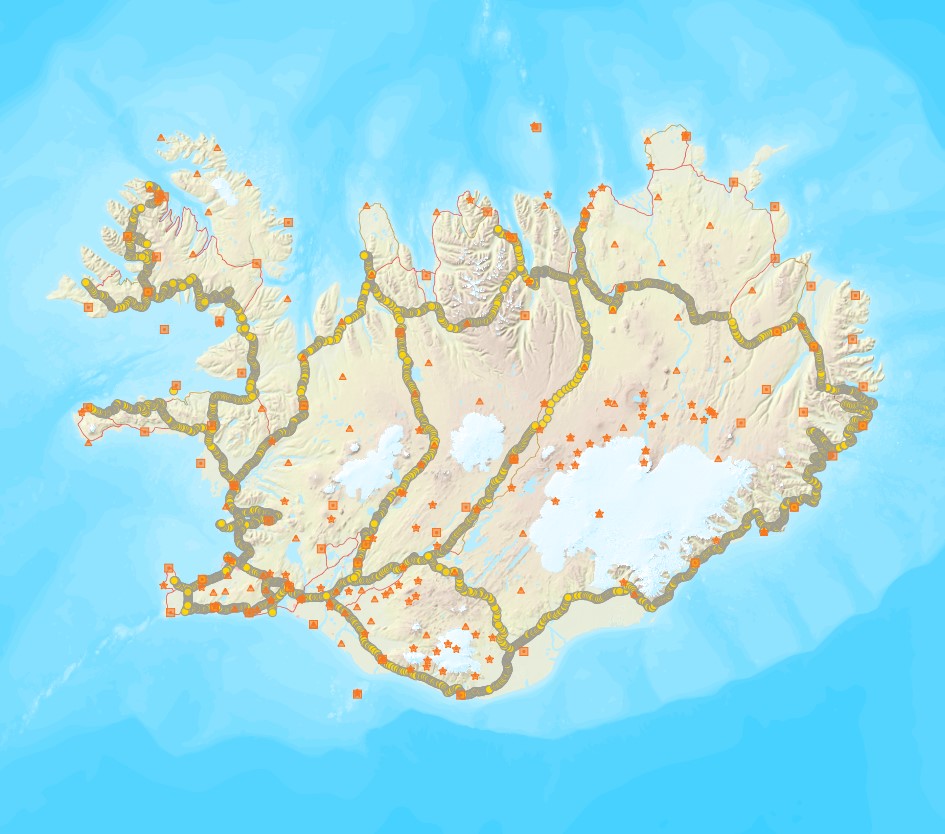
Þann 16. mars 2011 gáfu Landmælingar Íslands út í fyrsta sinn sameiginlegt hæðarkerfi fyrir Ísland. Kerfið er kallað Landshæðarkerfi Íslands og er viðmiðunin ISH2004. Tilkoma sameiginlegs hæðarkerfis markaði stór tímamót í sögu landmælinga á Íslandi. Á sama hátt og viðmiðunin ISN93 skapaði grundvöll fyrir alla til að vinna í sama hnitakerfi mun ISH2004 skapa grundvöll fyrir alla til að vinna í sama hæðarkerfi. Eitt samræmt hæðarkerfi er mikilvægt fyrir ýmsar framkvæmdir s.s. vegagerð og jarðgangnagerð og á ýmsum sviðum umhverfisvöktunar, skipulags og áætlanagerðar. Auk þess munu gögnin nýtast við rannsóknir á jarðskorpuhreyfingum eða breytingum á yfirborði sjávar. Mælingar á Landshæðarkerfinu eru standa ennþá yfir og frá fyrstu útgáfu þess árið 2011 hafa bæst við eftirfarandi línur hallamælilínur. • Flókalundur-Bolungavík • Reykjavík-Keflavík • Endurmæling á Suðurlandi vegna jarðskjálftans 2008 • Hellisheiði • Reykjanesbraut-Grindavík • Þjóðvegur 1-Akranes • Kjölur Niðurstöður nýrra mælinga verður bætt inn í þetta gagnasett um leið og þær liggja fyrir.
-

EMODnet Chemistry aims to provide access to marine chemistry data sets and derived data products concerning eutrophication, ocean acidification, contaminants and litter. The chosen parameters are relevant for the Marine Strategy Framework Directive (MSFD), in particular for descriptors 5, 8, 9 and 10. The dataset contains standardized, harmonized and validated data collections from beach litter (monitoring and other sources). Datasets concerning beach and seafloor litter data are loaded in a central database after a semi-automated validation phase. Once loaded, a data assessment is performed in order to check data consistency and potential errors are corrected thanks to a feedback loop with data originators. For beach litter, the harmonized datasets contain all unrestricted EMODnet Chemistry data on beach litter, including monitoring data, data from cleaning surveys and data from research. A relevant part of the monitoring data has been considered for assessment purposes by the European institutions and therefore is tagged as MSFD_monitoring. EMODnet beach litter data and databases are hosted and maintained by 'Istituto Nazionale di Oceanografia e di Geofisica Sperimentale, Division of Oceanography (OGS/NODC)' from Italy. Data are formatted following Guidelines and forms for gathering marine litter data, which can be found at: https://doi.org/10.6092/15c0d34c-a01a-4091-91ac-7c4f561ab508 The updated vocabularies of admitted values are available at: https://nodc.ogs.it/marinelitter/vocab The European harmonized dataset is provided as csv format in two files, one containing the survey data and one containing the survey metadata. The dataset is available through direct download or through ERDDAP.
-

Poligon data for buildings in Reykjavík, the capital city of Iceland. The data does not cover the whole country.
-

Pointdata for addresses in Iceland. Data derived from the Icelandic access address register for ELF.
-

Cadastral parcels in Iceland as polygon features.
-

Højdemodellen omfatter ældre data over Grønland. Data er udarbejdet af Kort- og Matrikelstyrelsen.