 Arctic SDI catalogue
Keyword
Arktis
Type of resources
Categories
Available actions
Keywords
Contact for the resource
Provided by
Years
Formats
Representation types
Update frequencies
status
Service types
Scale
From
1
-
2
/
2
-
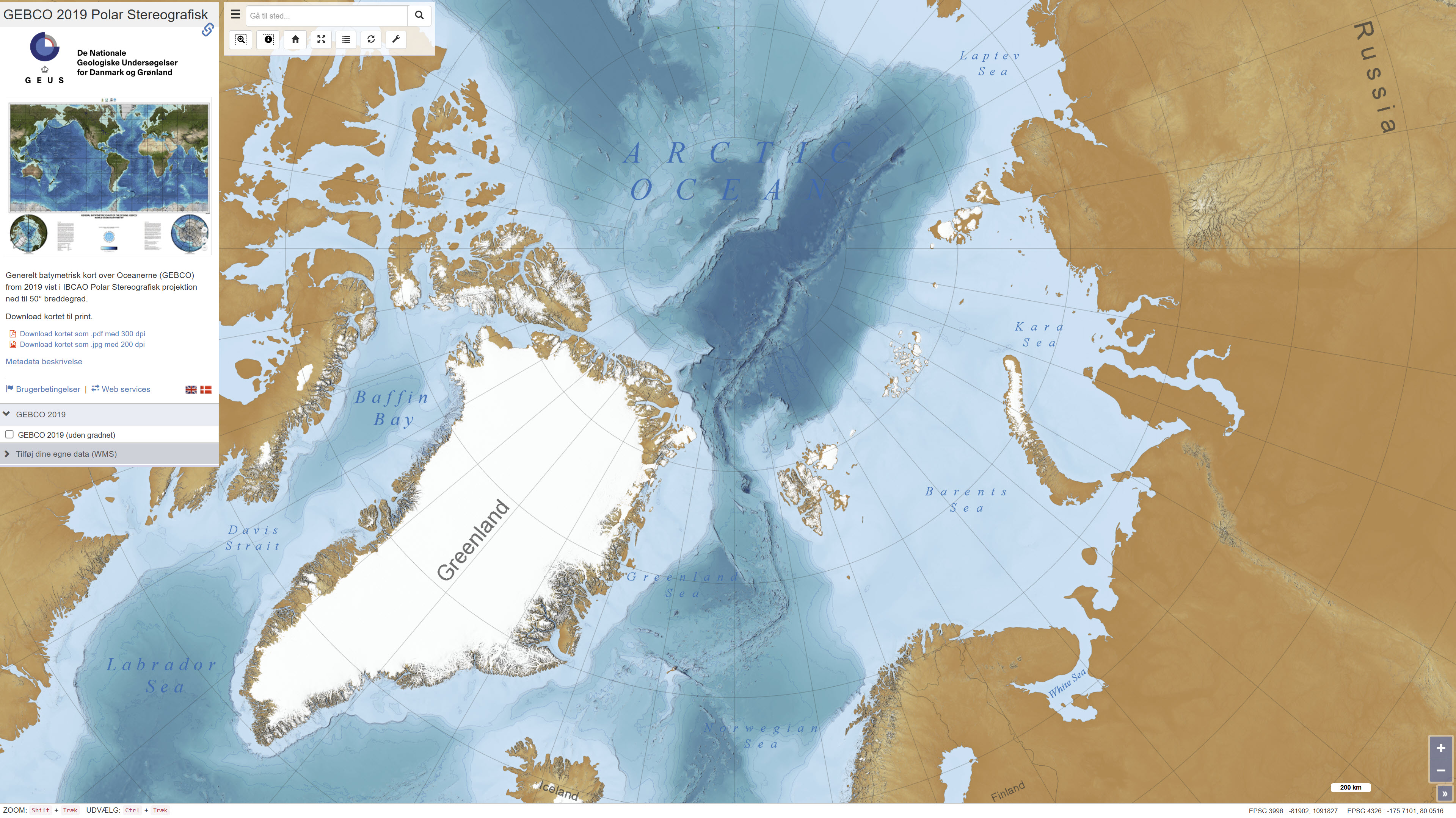
The dataset shows global bathymetry based on The General Bathymetric Chart of the Oceans (GEBCO) 2019. The dataset represents a continuous model of seafloor topography derived from a combination of multibeam, singlebeam and satellite altimetry data. The dataset has been reprojected to a polar stereographic projection and published as a web-based background map for use in the ISAAFFIK Arctic Gateway portal.
-
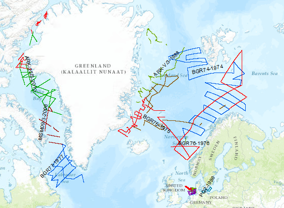
During the period from 1974 to 2010 various cruises from BGR acquired seismic lines worldwide. The aim of these marine expeditions was a detailed survey of the geological structure.