 Arctic SDI catalogue
Biodiversity: state of habitats and species
Type of resources
Categories
Available actions
Topics
Keywords
Contact for the resource
Provided by
Years
Formats
Scale
Resolution
-
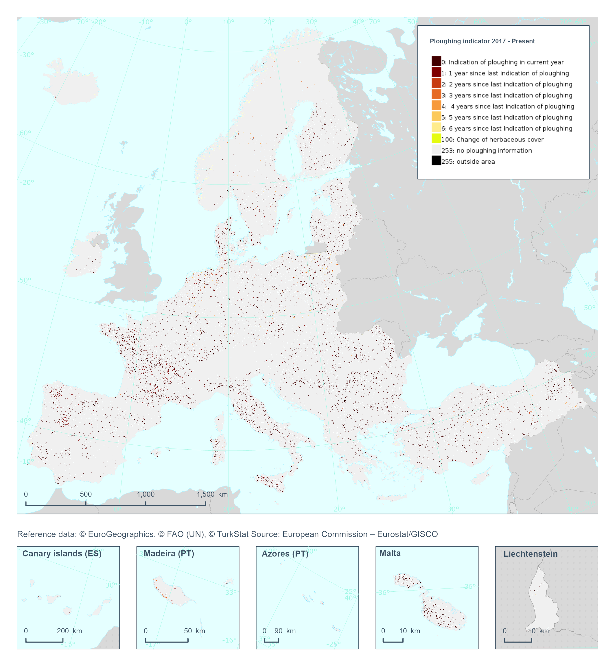
The High Resolution Layer Ploughing indicator (PLOUGH) raster product continues the 2015 and 2018 PLOUGH Layer following a rolling archive principle by adding current information and removing historic years. It indicates the number of years since the last indication of ploughing within the permanent grassland area. PLOUGH is derived by taking into account the series of binary HER layers, the BVL classifications and HR VPP PPI (Plant Phenology Index) quantiles. BVL classes 4 (crop) and 7 (overlaying layer between herbaceous and crop) indicate a ploughing event. Low HR VPP PPI quantiles indicate low vegetation at a certain time of the year. For years with missing information (2016 and earlier) the ploughing information from the historic PLOUGH product is considered which causes some issues. This dataset is provided annually starting in 2017 with 10 meter rasters (fully conformant with the EEA reference grid) in 100 x 100 km tiles covering the EEA38 countries. High Resolution Layer Grasslands product is part of the European Union’s Copernicus Land Monitoring Service. This dataset includes data from the French Overseas Territories (DOMs)
-
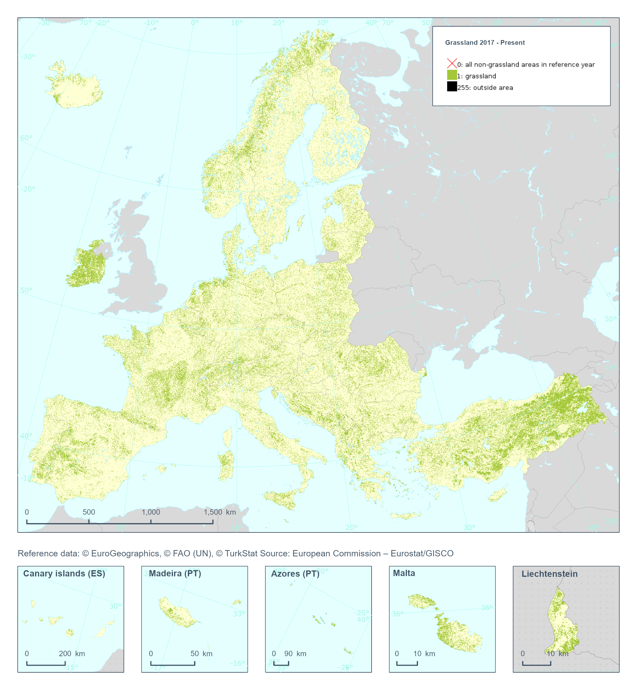
The High Resolution Layer Grassland (GRA) raster product provides a binary status layer of grassland/non-grassland mask. This grassy and non-woody vegetation baseline product includes all kinds of grasslands: managed grassland, semi-natural grassland and natural grassy vegetation. It does not include temporary grasslands, which are masked out using the corresponding Ploughing indicator (PLOUGH), indicating on the number of years since a pixel was last ploughed. In the 100 meter raster product, the number of Grassland pixels are counted and the percentages stored in each 100 meter cell. The class 255 = outside area is predefined by the 100m boundary layer and remains unchanged. This dataset is provided annually starting in 2017 with 100 meter rasters (fully conformant with the EEA reference grid) in 100 x 100 km tiles covering the EEA38 countries. High Resolution Layer Grasslands product is part of the European Union’s Copernicus Land Monitoring Service. This dataset includes data from the French Overseas Territories (DOMs)
-
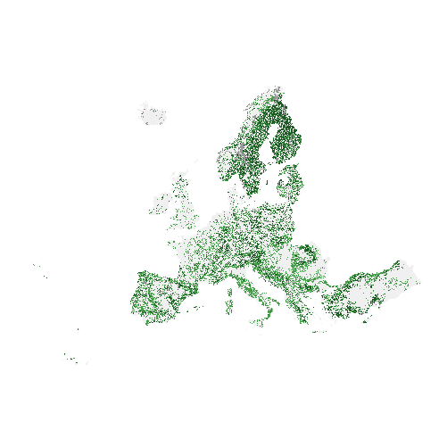
The high resolution forest product consists of three types of (status) products and additional change products. The status products are available for the 2012 and 2015 reference years: 1. Tree cover density providing level of tree cover density in a range from 0-100%; 2. Dominant leaf type providing information on the dominant leaf type: broadleaved or coniferous; 3. A Forest type product. The forest type product allows to get as close as possible to the FAO forest definition. In its original (20m) resolution it consists of two products: 1) a dominant leaf type product that has a MMU of 0.5 ha, as well as a 10% tree cover density threshold applied, and 2) a support layer that maps, based on the dominant leaf type product, trees under agricultural use and in urban context (derived from CLC and high resolution imperviousness 2009 data). For the final 100m product trees under agricultural use and urban context from the support layer are removed. The high resolution forest change products comprise a simple tree cover density change product for 2012-2015 (% increase or decrease of real tree cover density changes). The production of the high resolution forest layers was coordinated by the European Environment Agency (EEA) in the frame of the EU Copernicus programme.
-
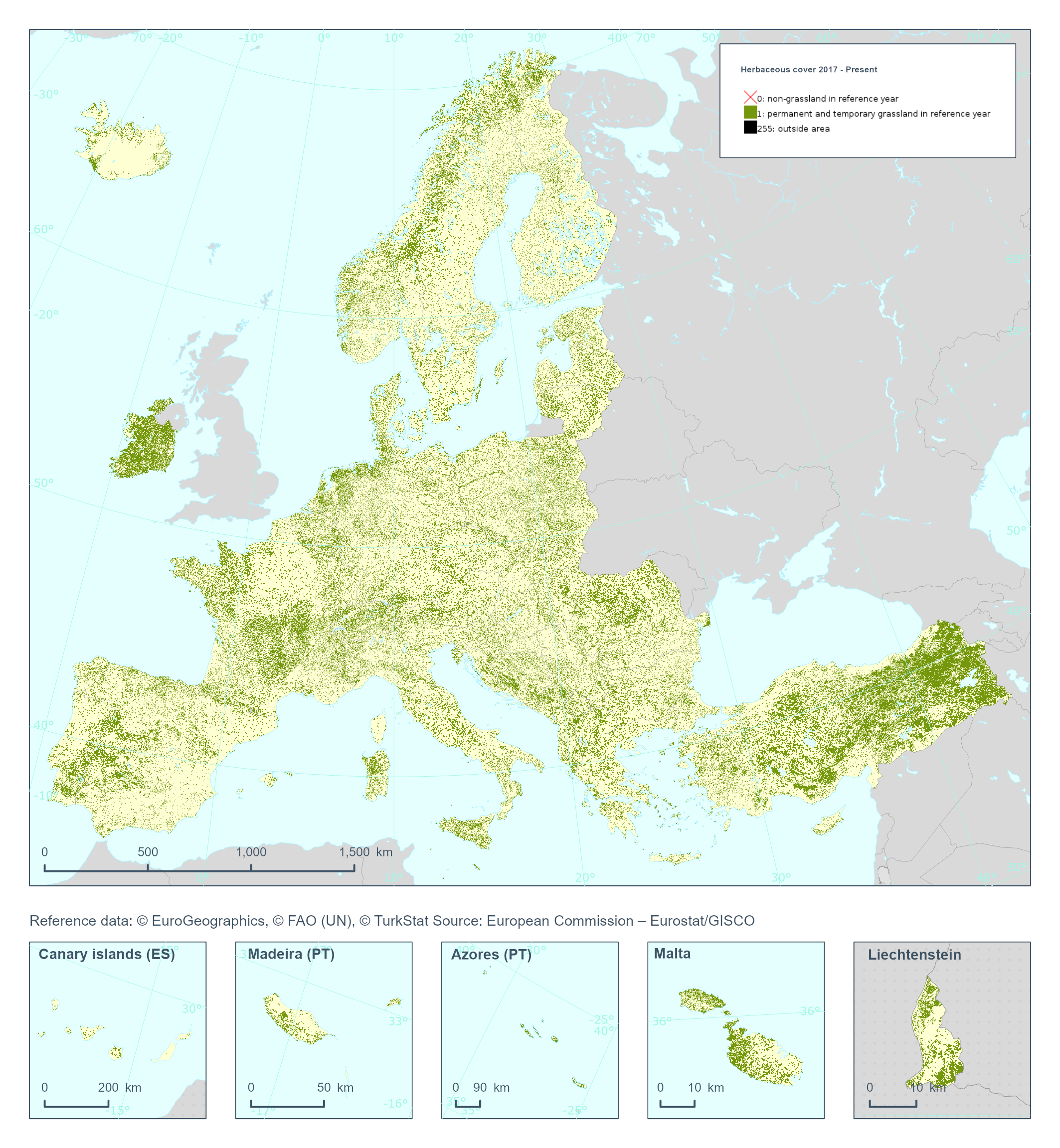
The High Resolution Layer Herbaceous cover (HER) raster product provides a basic land cover classification with 2 thematic classes (temporal and permanent herbaceous / non-herbaceous). The production of the herbaceous layer is primarily based on the probability estimates obtained from the Base Vegetation Layer (BVL) which also serves to harmonize the different vegetated HRL products (Grasslands, Tree Cover and Forests, Croplands). HER is further used as input for the Grassland status layer (GRA) extracting the permanent herbaceous in combination with the Ploughing indicator (PLOUGH). This dataset is provided annually starting in 2017 with 10 meter rasters (fully conformant with the EEA reference grid) in 100 x 100 km tiles covering the EEA38 countries. High Resolution Layer Grasslands product is part of the European Union’s Copernicus Land Monitoring Service. This dataset includes data from the French Overseas Territories (DOMs)
-
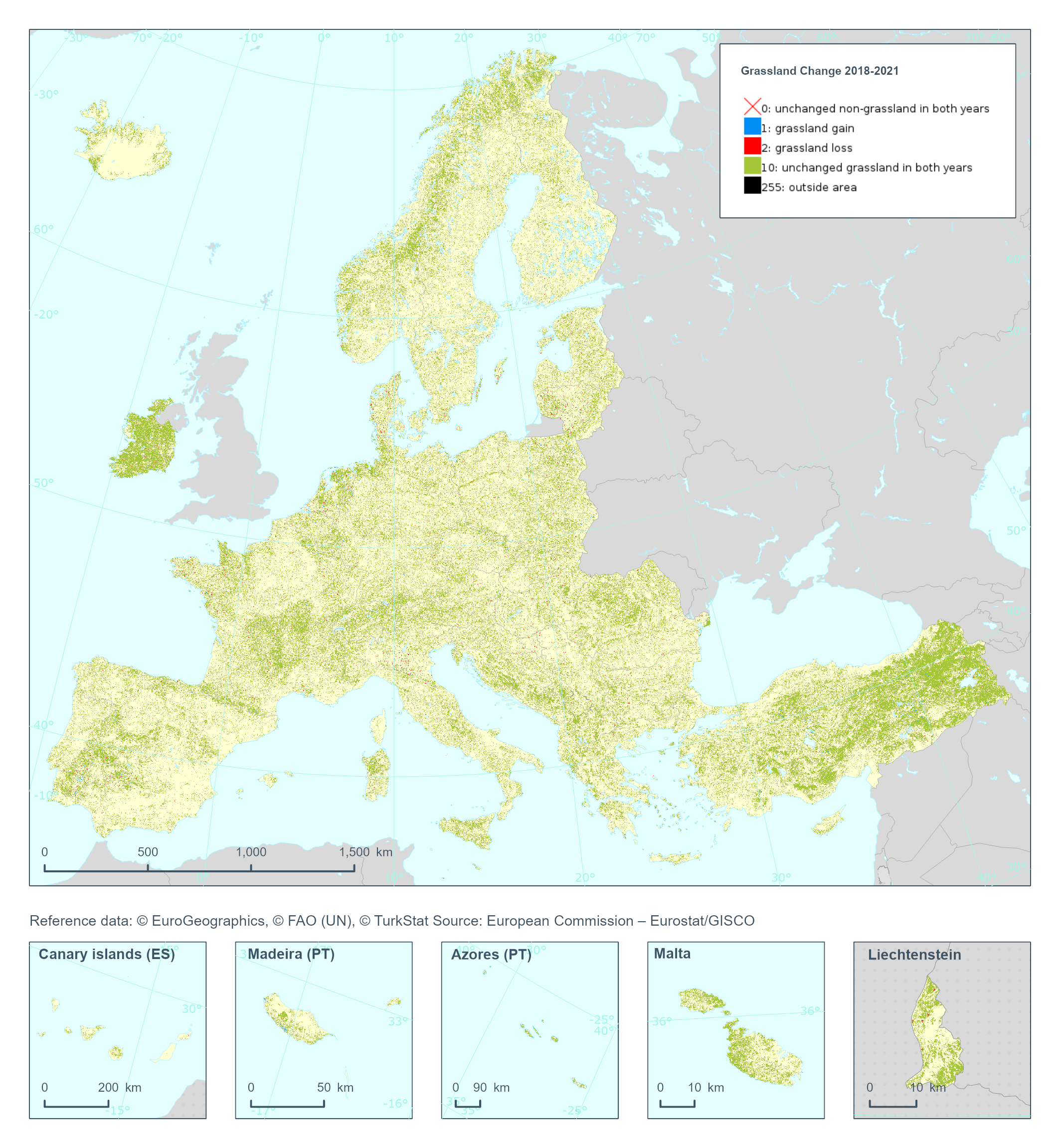
The High Resolution Layer Grassland Change (GRAC) 2018-2021 raster product at 20m resolution provides information on changes in grassland vegetation cover between the reference years 2018 and 2021. The thematic classes indicate all non-grassland areas, grassland gain and grassland loss, unchanged grassland in both years and unverified grassland gain and loss areas. This dataset is provided in 20 meter rasters (fully conformant with the EEA reference grid) in 100 x 100 km tiles covering the EEA38 countries. High Resolution Layer Grasslands product is part of the European Union’s Copernicus Land Monitoring Service. Confidence layer available for the dataset. This dataset includes data from the French Overseas Territories (DOMs)
-
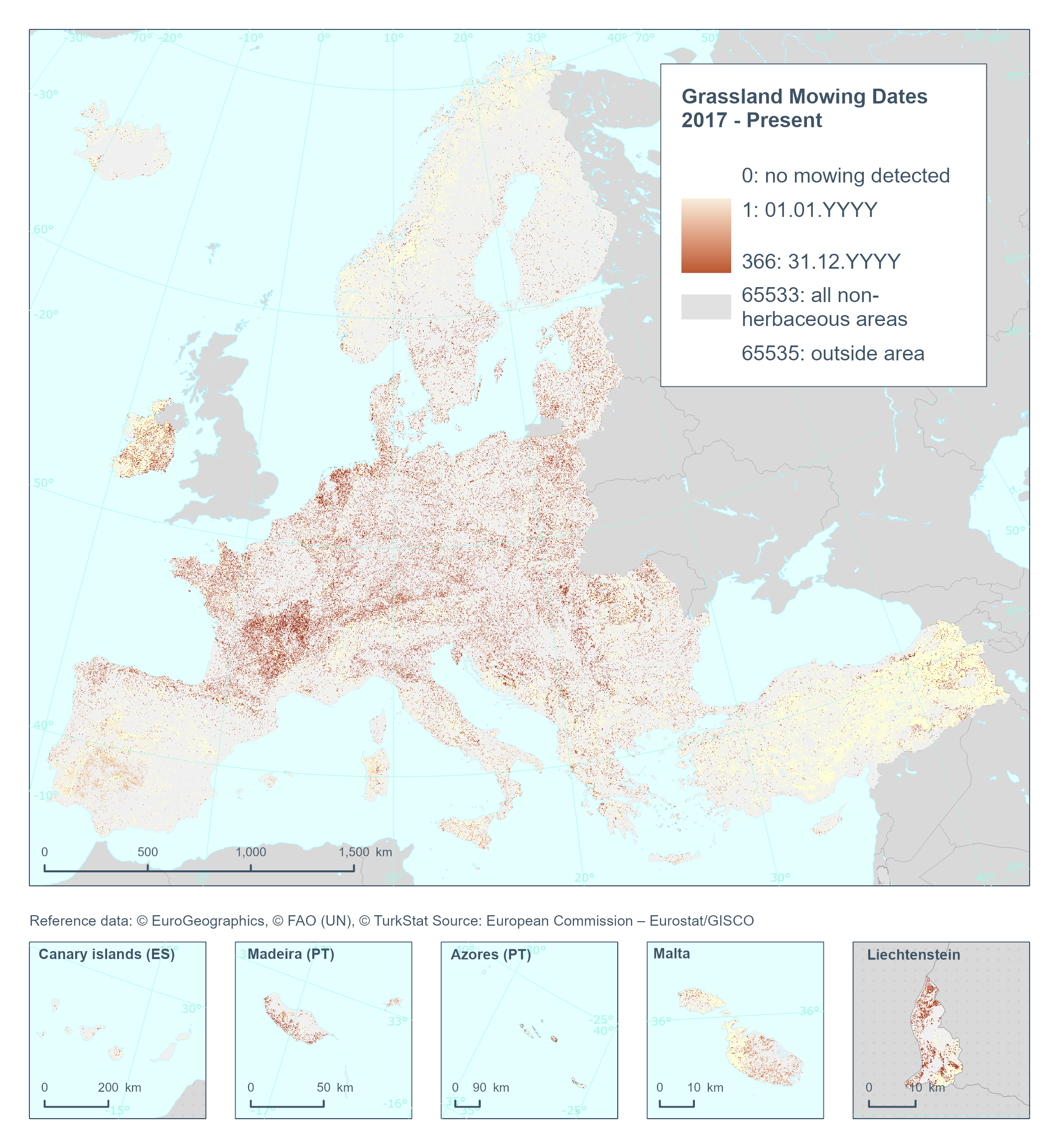
The High Resolution Layer Grassland Mowing Dates (GRAMD) raster product provides at pan-European level in the spatial resolution of 10 m a basic land cover classification, flagging and mapping the start date (DOY) (GRAMD) within the detected Herbaceous cover layer (temporal and permanent grassland)) with a Minimum Mapping Unit (MMU) of 0.25 ha. The GRAMD product will flag and map the dates (Day of Year) of each mowing event on temporary or permanent grassland per year, resulting in a product split in four different rasters per year. This dataset is provided annually starting with 2017 in 10 meter rasters (fully conformant with the EEA reference grid) in 100 x 100 km tiles covering the EEA38 countries. High Resolution Layer Grasslands product is part of the European Union’s Copernicus Land Monitoring Service. This dataset includes data from the French Overseas Territories (DOMs)
-
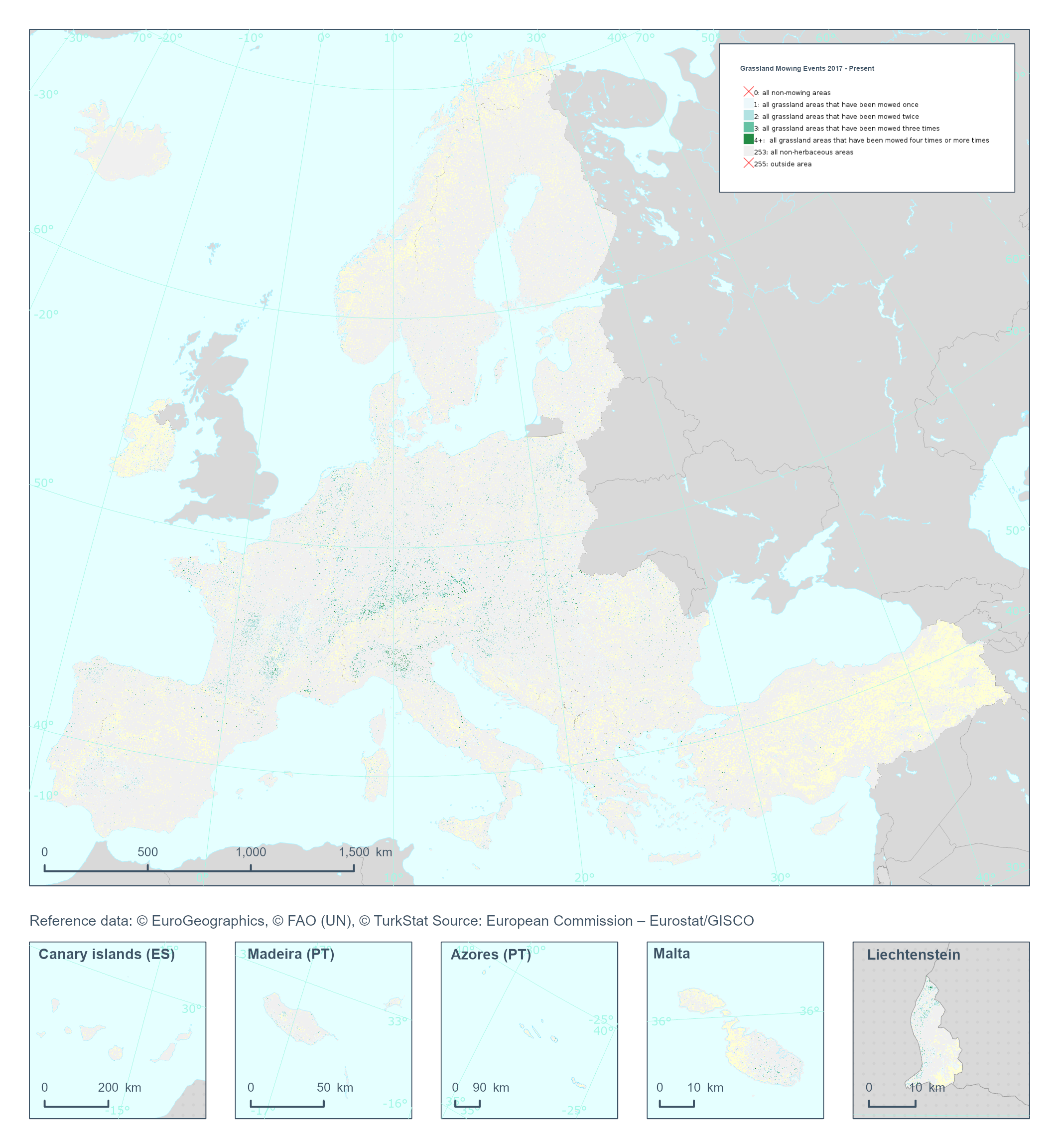
The High Resolution Layer Grassland Mowing Events (GRAME) raster product provides a basic land cover classification containing respectively the number of grassland mowing events within the detected Herbaceous cover layer (temporal and permanent grassland)) with a Minimum Mapping Unit (MMU) of 0.25 ha. The GRAME product will flag and map the number of mowing events (1, 2, 3, or 4+) on temporary or permanent grassland detected per year. This dataset is provided annually starting in 2017 with 10 meter rasters (fully conformant with the EEA reference grid) in 100 x 100 km tiles covering the EEA38 countries. High Resolution Layer Grasslands product is part of the European Union’s Copernicus Land Monitoring Service. Confidence layer available for the dataset. This dataset includes data from the French Overseas Territories (DOMs)
-
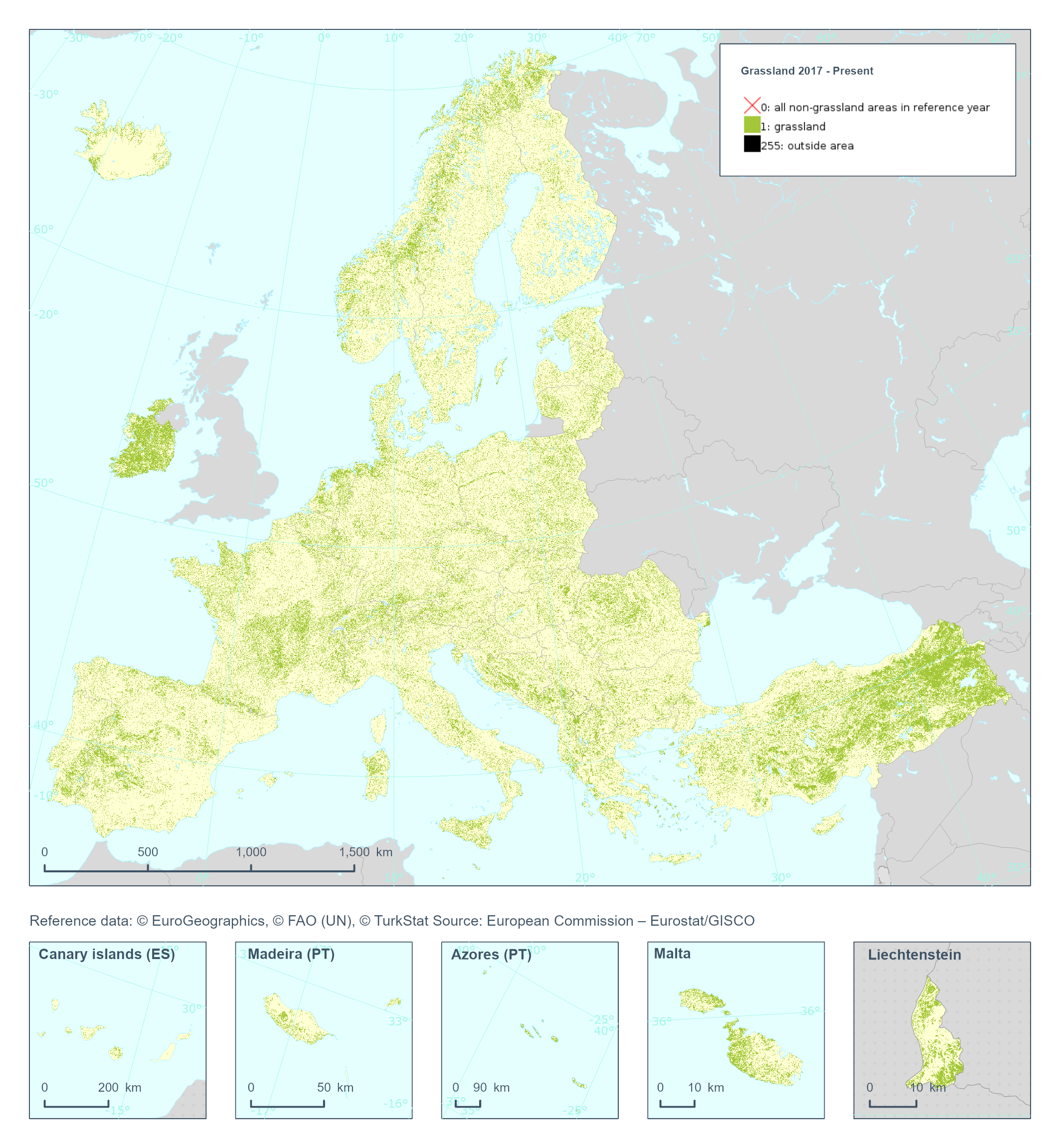
The High Resolution Layer Grassland (GRA) raster product provides a binary status layer of grassland/non-grassland mask. This grassy and non-woody vegetation baseline product includes all kinds of grasslands: managed grassland, semi-natural grassland and natural grassy vegetation. It does not include temporary grasslands, which are masked out using the corresponding Ploughing indicator (PLOUGH), indicating on the number of years since a pixel was last ploughed. This dataset is provided annually starting in 2017 with 10 meter rasters (fully conformant with the EEA reference grid) in 100 x 100 km tiles covering the EEA38 countries. High Resolution Layer Grasslands product is part of the European Union’s Copernicus Land Monitoring Service. Confidence layer available for the dataset. This dataset includes data from the French Overseas Territories (DOMs)
-
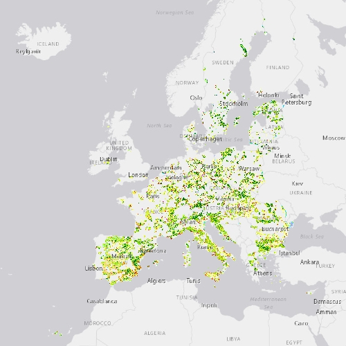
This metadata refers to CLMS N2K 2012 product, the Copernicus Land Cover/Land Use (LC/LU) status map, with 2012 as reference year for the classification, tailored to the needs of biodiversity monitoring in selected Natura2000 sites: 4790 sites of natural and semi-natural grassland formations listed in Annex I of the Habitats Directive, including a 2 km buffer zone surrounding the sites and covering an area of 631.820 km² across Europe (EU27, the United Kingdom and Switzerland). The product includes three Emerald sites in Switzerland. LC/LU has been extracted from VHR satellite data and other available data. This metadata specifically refers to the revision of the 2012 N2K status map carried out during the production of the 2018 update. The production of N2K updates was coordinated by the European Environment Agency (EEA) in the frame of the EU Copernicus programme.
-
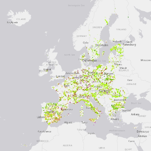
This metadata refers to the CLMS N2K Change 2012-2018 product, the Copernicus Land Cover/Land Use (LC/LU) change map tailored to the needs of biodiversity monitoring in selected Natura2000 sites: 4790 sites of natural and semi-natural grassland formations listed in Annex I of the Habitats Directive, including a 2km buffer zone surrounding the sites. The change mapping exercise between the reference years 2012 and 2018, was based on the comparison of VHR satellite data and occurred over an area of 631.800 km² across Europe (i.e. EU27, the United Kingdom and Switzerland). The change dataset only shows the areas that have changed between 2012 and 2018 and covers an area of 1.199.652 ha. LC/LU is extracted from VHR satellite data and other available data. Change detection is based on the analysis of VHR satellite data from the reference years 2012 ±2 years and 2018 ±1 year. The production of N2K updates was coordinated by the European Environment Agency (EEA) in the frame of the EU Copernicus programme.