 Arctic SDI catalogue
Aquatic environment
Type of resources
Available actions
Topics
Keywords
Contact for the resource
Provided by
Formats
Representation types
Update frequencies
status
Scale
-

Produced as part of the St. Lawrence Action Plan, the Atlas of Territories of Conservation Interest in the St. Lawrence Lowlands shows the sites where conservation needs are the most pressing. The conservation targets selected (coarse filter) are forest environments, wetlands, open environments (wastelands, perennial crops) and aquatic environments to which are added elements of the fine filter such as exceptional aquatic environments associated with the St. Lawrence corridor (e.g. spawning grounds), alvars, bird colonies, wildlife elements (e.g. nesting sites of Bank Swallows and Chimney Swift, etc.) and important floristic occurrences. Our objective is to determine the sites of interest until a representative threshold of 20% is reached. The geospatial data associated with sites of interest for conservation, the user guide, the methodological report, the metadata as well as the detailed mapping of land use in the St. Lawrence Lowlands, which was an essential basic data for producing this atlas, are available for download. Users can therefore more accurately consult the spatial distribution of sites of interest and the conservation value associated with each plot of habitat for conservation targets (forest environments, wetlands, wastelands, perennial crops, aquatic environments) using geographic information systems (e.g. ArcGIS). Users can also adapt the analysis of this data to their territorial reality and according to specific objectives specific to their interests. Since the conservation of natural environments and species in precarious situations is a shared responsibility, this Atlas will make it possible to meet the priorities of the many organizations involved in the conservation of natural environments in the St. Lawrence Lowlands.**This third party metadata element was translated using an automated translation tool (Amazon Translate).**
-
__The link: *Access the data directory* is available in the section*Dataset Description Sheets; Additional Information*__. In 2020, the Forest Inventory Directorate of the Ministry of Natural Resources and Forests (MRNF) began the production of vector layers of riparian ecotones. This type of layer is produced using a series of geomatic tools that use the canopy height model (MHC) and the topographic humidity index (TWI) produced from aerial LiDAR, as well as data from the ecoforest map of southern Quebec. The development of the tools and their configuration were carried out in collaboration with the forest hydrology laboratory at Laval University. The layer thus produced aims to delimit riparian ecotones, which are defined as [_ “a transition zone between the aquatic environment and the forest, characterized by muscinal, herbaceous or shrubby vegetation in wetlands and sometimes including a few scattered trees” _] (https://mffp.gouv.qc.ca/RADF/guide/chapitre-i/article-1/). The layer produced defines the area where a significant change in tree heights is observed on the MHC LiDAR. However, if deforestation, agricultural fields, or natural disturbances are adjacent to a body of water, no change in tree heights is observed. In these cases, the tool instead uses potential water accumulation data from the Topographic Humidity Index (TWI), as well as data from the ecoforest map, to delineate riparian ecotones. On the other hand, the tool does not make it possible to filter all of these exceptional cases and we thus find a few “false coastal ecotones” in the layer. For example, deforested land along a body of water can sometimes be included in the ecotone layer. Before using these data, it is therefore recommended to plan validation work by photo-interpretation or by means of field visits. It should also be noted that ecotone data is primarily used to support forest mandates such as the delineation of buffer zones along watercourses. Therefore, they are not contours of wetlands within the meaning of the Act respecting the conservation of wetlands and bodies of water. **This third party metadata element was translated using an automated translation tool (Amazon Translate).**
-
The theme of land use offers a complete vision of the various uses of Quebec territory. It is the result of the assembly of various geographic data respecting use and distribution agreements. This product combines information on agricultural, forest, humid, humid, aquatic, anthropogenic environments, as well as on forest cuts and bare soils. This theme is based on data sources such as the ecoforest inventory of southern Quebec, agricultural databases and ecological maps. The accuracy of the product depends on the accuracy of the source layers. To access the files, which are hosted on an FTP server, it is recommended to use FileZilla (https://filezilla-project.org/) or Internet Explorer. **This third party metadata element was translated using an automated translation tool (Amazon Translate).**
-
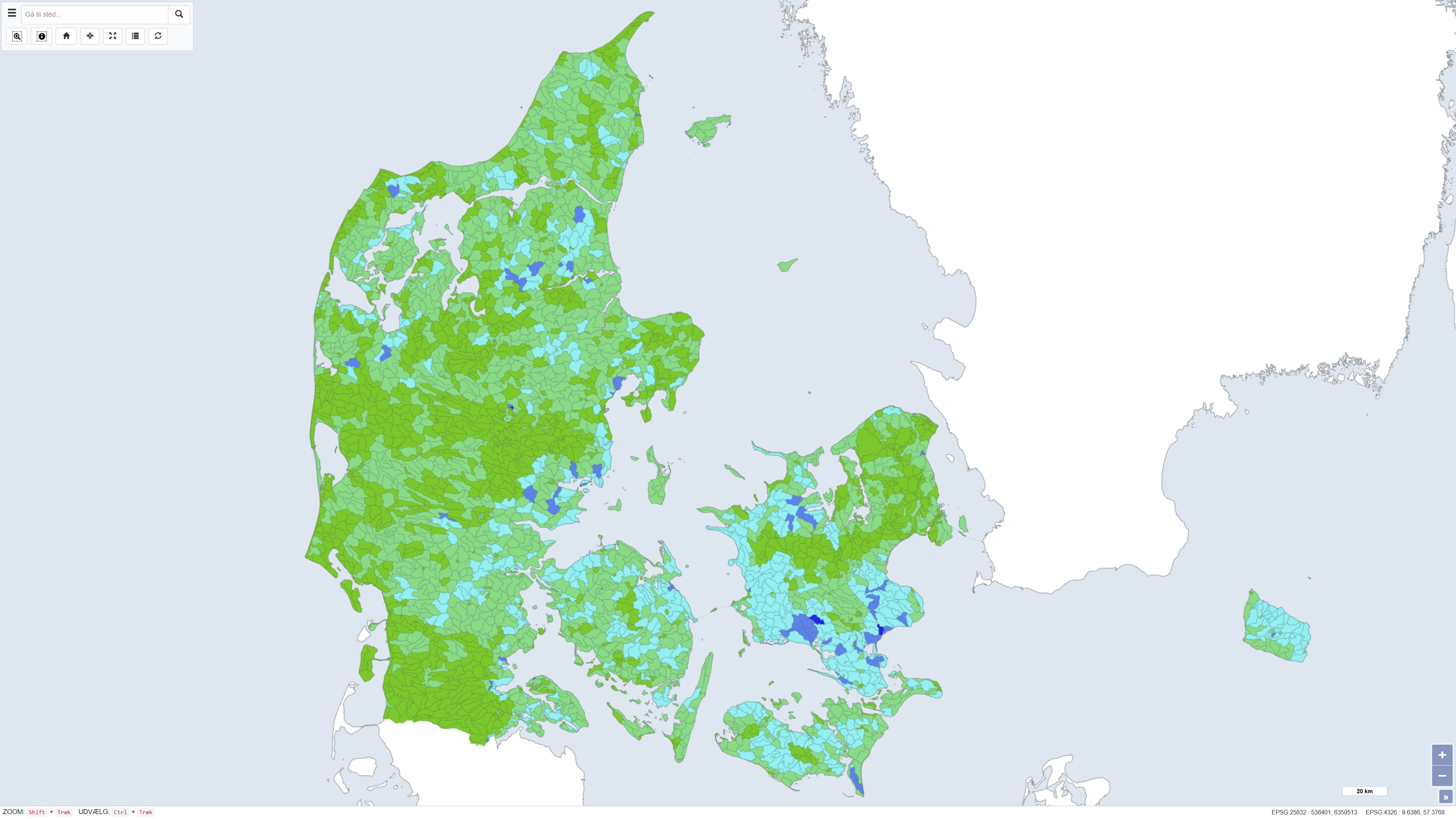
This dataset shows the percentage nitrogen retention in Denmark, i.e. the proportion of nitrogen leached from the root zone that is transformed or retained in the subsurface and surface waters before reaching the coast. Nitrogen retention is calculated using the National Nitrogen Model and represents an average retention for the period 1990–2010. The dataset provides nationwide coverage of spatial variations in nitrogen retention and is used as a basis for assessing nitrogen transport and coastal nutrient loading. The National Nitrogen Model version 2020 is documented in National Nitrogen Model – version 2020, a GEUS special report, including a method report (ISBN 978-87-7871-551-7) and an appendix (ISBN 978-87-7871-552-4), both available from GEUS (in danish).