 Arctic SDI catalogue
The Ministry of Mineral Resources, and the Mineral Licence and Safety Authority
Type of resources
Available actions
Topics
Keywords
Contact for the resource
Provided by
Formats
Representation types
Update frequencies
status
Scale
-
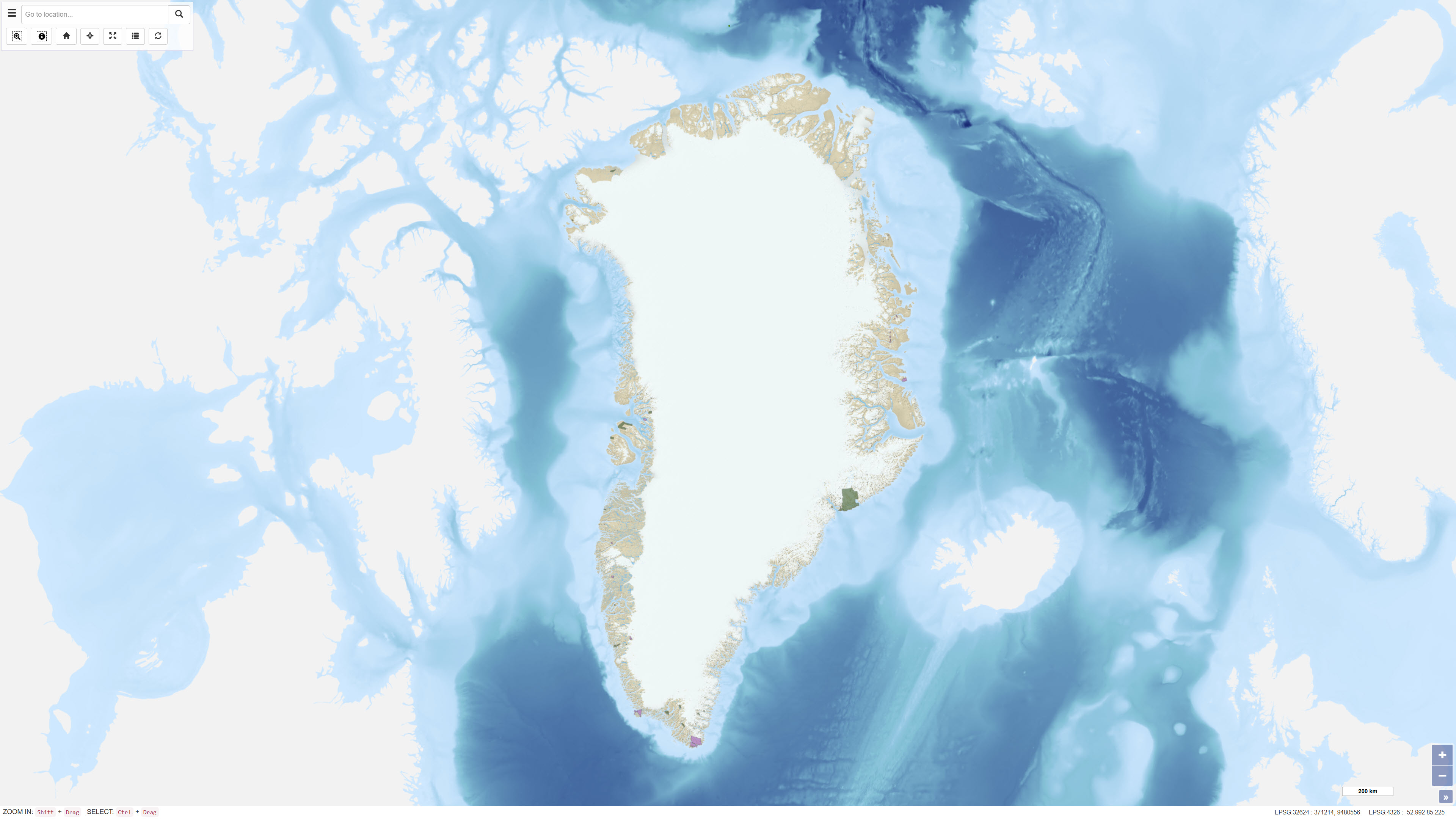
The dataset contains polygons representing applications for mineral-related activities in Greenland, including exploration and exploitation licences. The dataset includes different processing statuses such as Approval Applications, Licence Pending and Under Review. The data are based on geographic information provided via WFS by the Ministry of Mineral Resources in Greenland and are redistributed without modification of the original boundaries. The dataset provides an overview of areas where licence applications are under review or awaiting decision.
-
%20-%20datas%C3%A6t.jpg)
The dataset contains polygons representing selected protected and regulated areas in Greenland relevant to mineral activities. The areas include UNESCO World Heritage Sites, nature protection areas, and zones with specific restrictions or prohibitions on mineral activities. The dataset is converted from a WFS service provided by the Ministry of Mineral Resources in Greenland and is used as a geographic reference in the assessment of exploration and exploitation licences. The polygons represent administrative boundaries and do not constitute a legally binding representation of current legislation.
-
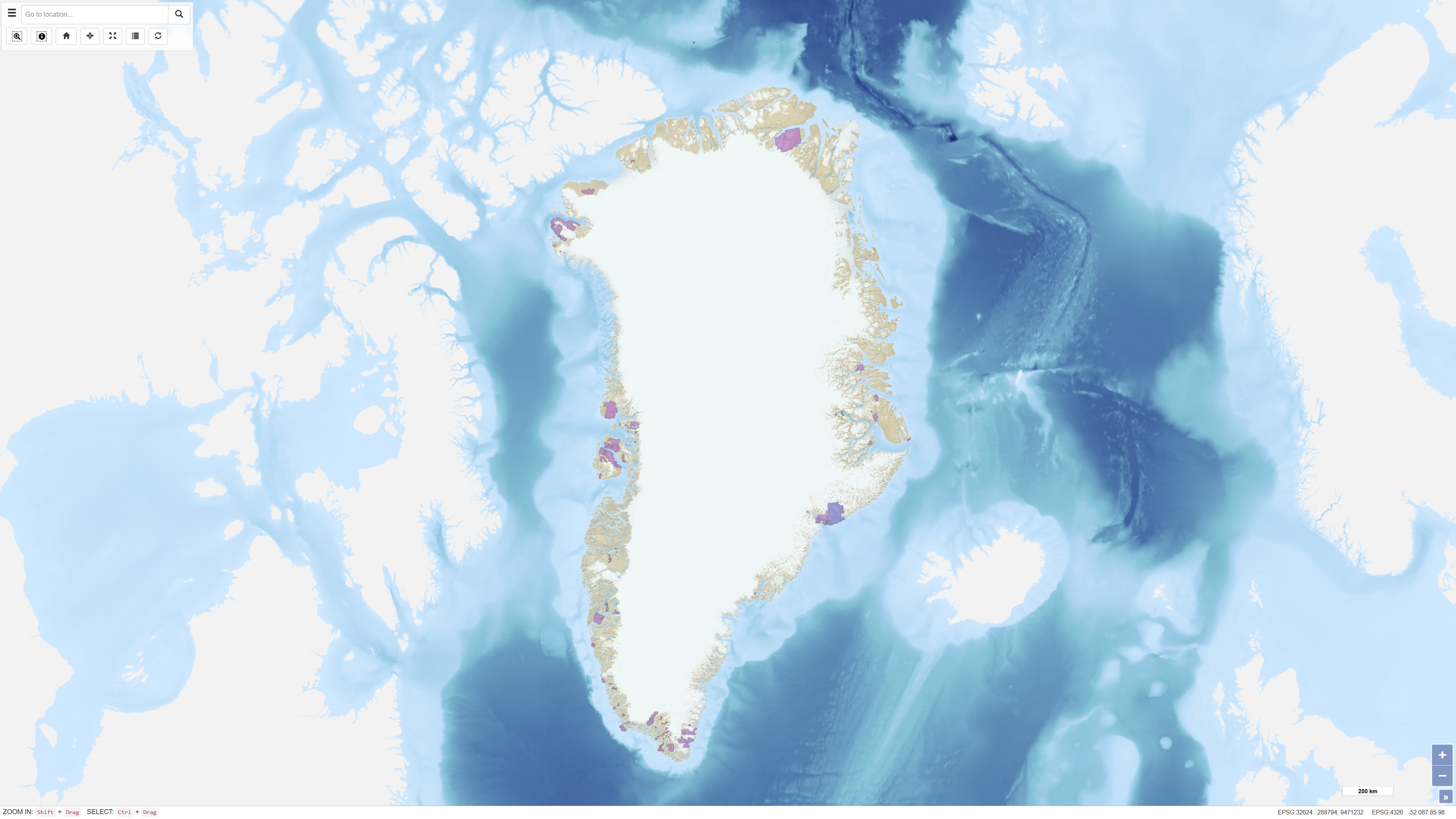
The dataset contains polygons representing active mineral exploration licences in Greenland. The data are based on geographic information provided via WFS by the Ministry of Mineral Resources in Greenland and are redistributed without modification of the original boundaries. The dataset provides an overview of areas where companies currently hold valid exploration licences.
-
%20i%20Gr%C3%B8nland%20-%20datas%C3%A6t.jpg)
The dataset contains polygons representing active Small Scale Exclusive Licences (SSE) in Greenland. SSE licences are granted to individuals or small companies for small-scale mineral activities. The data are based on geographic information provided via WFS by the Ministry of Mineral Resources in Greenland and are redistributed without modification of the original boundaries. The dataset provides an overview of areas with valid small-scale licences.
-
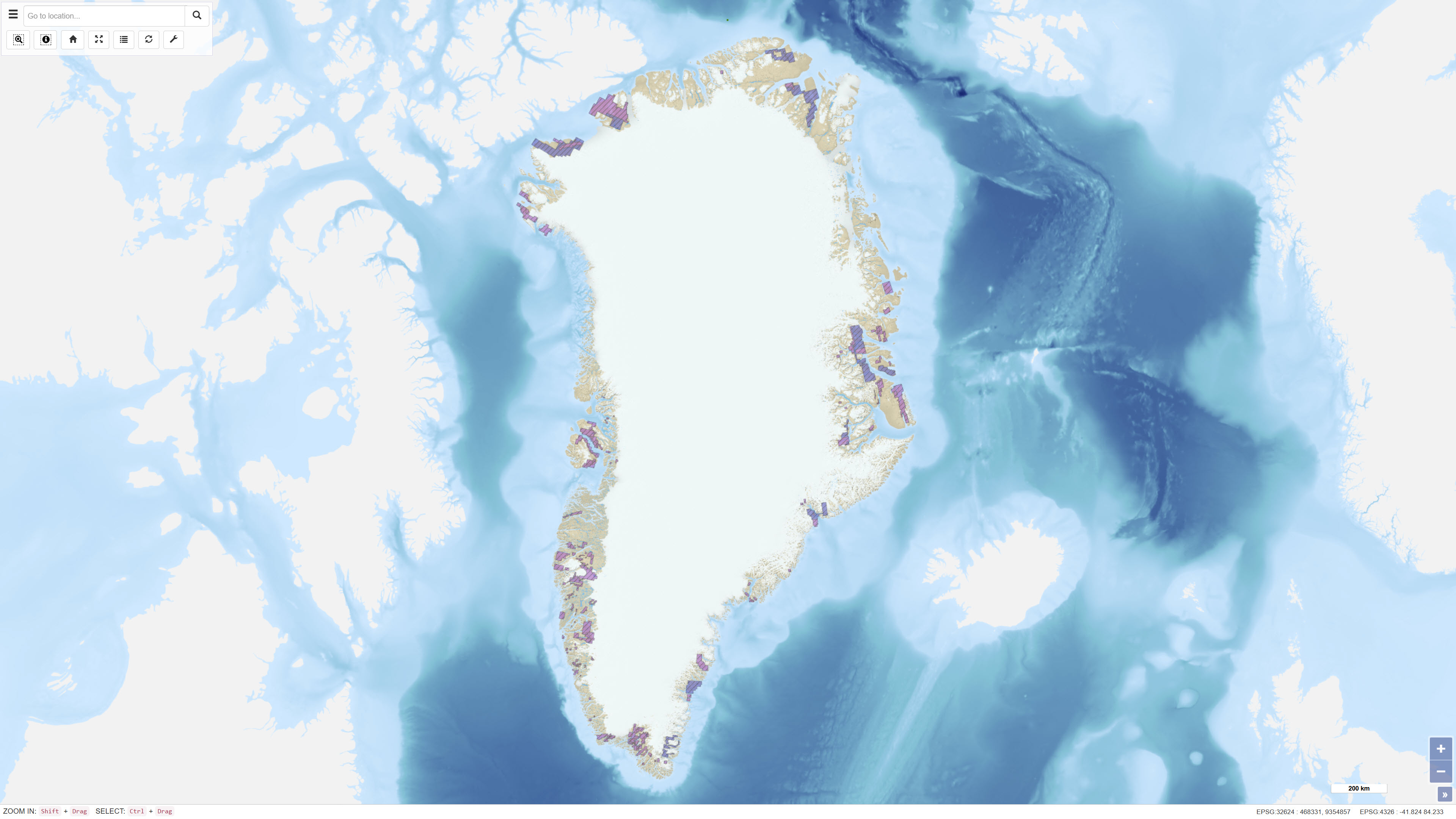
The dataset contains polygons representing historical exploration and exploitation licences for mineral resources in Greenland. The data are based on geographic information provided via WFS by the Ministry of Mineral Resources in Greenland and are redistributed without modification of the original boundaries. The dataset provides an overview of former licence areas and their spatial extent.