 Arctic SDI catalogue
Hydrologie
Type of resources
Available actions
Keywords
Contact for the resource
Provided by
Years
Representation types
Update frequencies
status
Service types
Scale
-
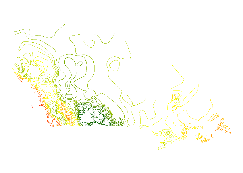
La série d'ensembles de données « Ruissellement unitaire annuel au Canada selon AAC - 2013 » présente les tendances du ruissellement dans l'ensemble du pays au moyen d'isolignes du ruissellement unitaire annuel pour diverses probabilités de dépassement communément utilisées par les décideurs. Le ruissellement unitaire annuel est une mesure du volume d'eau de ruissellement par kilomètre carré. L'unité utilisée dans cette série d'ensembles de données est le décamètre cube (1000 m3) par kilomètre carré (dam3/km2), qui équivaut à une hauteur de précipitation de un millimètre sur le paysage. La série comprend un ensemble de données ponctuelles concernant les stations hydrométriques utilisées pour l'analyse du ruissellement unitaire, et sept ensembles de données présentant les isolignes ajustées pour les probabilités de dépassement de 10 %, 25 %, 50 %, 70 %, 75 %, 80 % et 90 %. Pour plus d'information, consulter : http://ouvert.canada.ca/data/fr/dataset/a905bafc-74b5-4ec5-b5f9-94b2e19815d0
-

The “Annual Unit Runoff (dam3/km2) for a 80% Probability of Exceedence” dataset is a line data set that covers the extent of Canada. It shows the 80% Probability of exceedence annual unit runoff.
-
The “Annual Unit Runoff (dam3/km2) for a 50% Probability of Exceedence” dataset is a line data set that covers the extent of Canada. It shows the 50% Probability of exceedence annual unit runoff.
-

The “Annual Unit Runoff (dam3/km2) for a 10% Probability of Exceedence” dataset is a line data set that covers the extent of Canada. It shows the 10% Probability of exceedence annual unit runoff.
-

The “Annual Unit Runoff (dam3/km2) for a 90% Probability of Exceedence” dataset is a line data set that covers the extent of Canada. It shows the 90% Probability of exceedence annual unit runoff.
-

The “Annual Unit Runoff (dam3/km2) for a 75% Probability of Exceedence” dataset is a line data set that covers the extent of Canada. It shows the 75% Probability of exceedence annual unit runoff.
-

The “Stations used for Unit Runoff Analysis” dataset is a point data set for select hydrological stations that covers the extent of Canada.
-

The “Annual Unit Runoff (dam3/km2) for a 70% Probability of Exceedence” dataset is a line data set that covers the extent of Canada. It shows the 70% Probability of exceedence annual unit runoff.
-

The “Annual Unit Runoff (dam3/km2) for a 25% Probability of Exceedence” dataset is a line data set that covers the extent of Canada. It shows the 25% Probability of exceedence annual unit runoff.
-

The “Gross and Effective Drainage Areas for Hydrometric Gauging Stations of the AAFC Watersheds Project - 2013” dataset is a table that provides the calculated gross and effective drainage areas associated with the hydrometric gauging stations of the Agriculture and Agri-Food Canada (AAFC) Watersheds Project. Areas are provided in square kilometres. ‘Gross drainage’ describes the total area of a catchment. ‘Effective drainage’ describes areas that are expected to contribute to an average runoff.