 Arctic SDI catalogue
Networks
Type of resources
Topics
Keywords
Contact for the resource
Provided by
Formats
Representation types
Update frequencies
status
-

Fisheries and Oceans Canada (DFO) has worked with partners and ocean users to develop a draft conservation network plan for the Scotian Shelf-Bay of Fundy Bioregion. This work led to the 2017 draft conservation network plan. The draft plan was updated after targeted consultations from 2021 to 2022. The latest draft reflects new science information on climate change, updated human-use activities (such as fisheries data), and feedback from consultations. This dataset includes the latest existing and proposed conservation sites in the Scotian Shelf-Bay of Fundy Bioregion. Existing sites: -Marine Protected Areas (MPAs) -Marine refuges -Migratory bird sanctuary, National Wildlife area and National Park with marine components Proposed sites: -Areas of Interest (AOIs) and their lead agency -Tier 1 sites – higher priority for implementation and are among the sites that could be selected for advancement by 2030. These sites have high conservation value based on the confirmed presence of key ecological features. The lead federal agency is specified for all tier 1 sites. -Tier 2 sites - are important to create a representative conservation network but will not be considered for advancement by 2030. These sites require more research and information on ecological features and human uses before implementation. -Other sites have also been identified through network planning. These are not considered part of the conservation network plan at this time. Proposed conservation sites: 1. Cobequid Bay 2. Southern Bight 3. Chignecto Bay 4. Salmon Rivers 5. Bay of Fundy Horse Mussel Aggregations 6. West Isles and Passages 7. Long Eddy 8. South Grand Manan 9. Brier Island 10. Chebogue 11. Eel Bay 12. McNutts Island 13. Pemsɨk 14. LaHave Islands 15. Sambro Ledges-Prospect 16. Martinique Beach and Musquodoboit Harbour 17. St. Mary’s (Napu’saqnuk) River and Estuary 18. Country Island 19. MacNamaras Island 20. Canso Ledges-Sugar Harbour Islands 21. Fleur-de-Lis Coast 22. Bird Islands 23. Ingonish 24. Aspy Bay 25. Bras d’Or Lake 26. Southwest Bank 27. Western Jordan Basin 28. Georges Bank 29. LaHave Basin 30. Scotian Gulf 31. Central Scotian Slope, Rise, and Abyss 32. Inner Shelf Sea Pen Field 33. Sable Island Bank 34. Logan Canyon 35. Canso Bank and Channels 36. Misaine Bank and Laurentian Channel 37. Eastern Shoal 38. Cold Seeps Boundaries are preliminary and subject to change following public consultation.
-
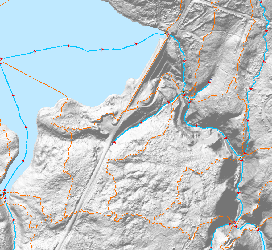
The Canadian Hydrospatial Network (CHN) is an analysis-ready geospatial network of features that help enable the modelling of surface water flow in Canada. The six main layers and feature types are: flowlines, waterbodies, catchments, catchment aggregates, work units, and hydro nodes. Where possible the CHN is derived from high resolution source data such as Light Detection and Ranging (LiDAR) derived Digital Elevation Models (DEMs) and aerial imagery, to name a few. If existing provincial or territorial hydrographic networks meet the standards, they are incorporated into the CHN, otherwise automatic extraction methods are used on the high-resolution source data. To provide full network connectivity, if neither of these methods is possible in a region, the NHN is converted into the CHN until higher-resolution source data is available. Additional value-added attributes are included in the CHN to aid modelling, such as stream order and reach slope. The CHN physical model and features are also closely aligned and harmonized with the USGS 3DHP hydrographic network, which aids trans-border modelling. Where possible geonames (i.e. toponyms) are also added. The CHN is produced and disseminated by hydrologically connected geographic areas called work units. Work units can contain just one watershed, several small adjacent watersheds outletting into a large body of water, or be one of many parts of a larger watershed. In all cases, the features of a work unit are hydrologically connected. This is a more natural approach to data delivery, in comparison to data that is split into tiles. A generalized work unit index file is provided in the downloads to help users decide which files to download. For more information on the CHN please visit the project webpage: https://natural-resources.canada.ca/canadian-hydrospatial-network