 Arctic SDI catalogue
Structures
Type of resources
Available actions
Topics
Keywords
Contact for the resource
Provided by
Years
Formats
Representation types
Update frequencies
status
Service types
Scale
-
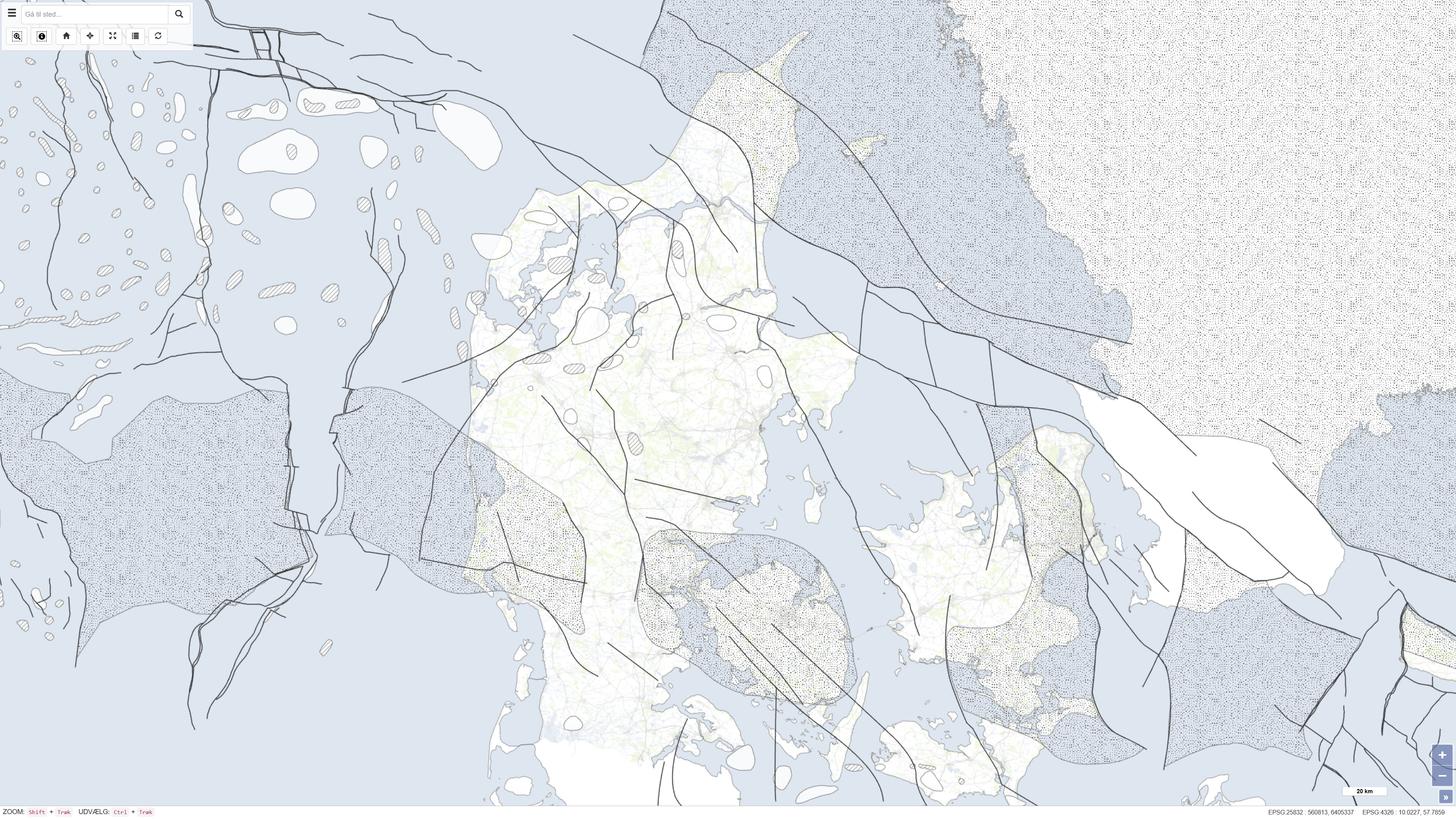
This dataset is based on the Geological Survey of Denmark map series no. 45 and represents a compiled geological map product produced in the early 1990s. The map is based on existing geological maps, seismic surveys, and previous interpretations, providing a regional overview of the geological conditions within the mapped area. The dataset forms part of the national mapping activities of the Geological Survey of Denmark and was published in 1994.
-
This service shows an overview of Sweden's bedrock and soils (meaning unconsolidated deposits) in the scale of 1:1M. The service contains layers showing bedrock lithology, dyke swarms, bedrock structures and unconsolidated deposits (mainly quaternary) covering the whole of Sweden. The information is complied from various surveys and existing maps throughout the country, and is a highly generalised product intended to give an overview on a national level.
-
This service is a joint contribution by the geological surveys in Finland, Norway and Sweden to the OneGeology initiative. The Geological Map of Fennoscandian Shield outlines the main features of Finland's, Norway's and Sweden's bedrock geology. The map is composed of data resulting from several mapping campaigns, performed over decades and compiled and archived in digital format. Due to the variation of quality and scales of different mapping campaigns the level of accuracy in the underlying national database is variable. This service includes layers showing bedrock areas defined by lithology, dyke swarms and tectonic structures.
-

The manmade features of the CanVec series include dams, protection structures (breakwater, dike/levees), liquid storage facilities (basin, swimming pool, etc.), tanks, buildings, delimiting structures (fence, walls, etc.), landmark features (cross, radar, crane, forts, etc.), chimneys, towers, sewage pipelines, conduit bridges, waste, leisure areas, residential areas, commercial and institutional areas and ritual cultural areas (shrine, cemeteries, etc.). The CanVec multiscale series is available as prepackaged downloadable files and by user-defined extent via a Geospatial data extraction tool. Related Products (Open Maps Links): [Topographic Data of Canada - CanVec Series](https://open.canada.ca/data/en/dataset/8ba2aa2a-7bb9-4448-b4d7-f164409fe056)
-
The Toporama Web Map Service (Toporama WMS) of the Earth Sciences Sector (ESS) at Natural Resources Canada (NRCan) is an Internet service that is intended mainly for online map application users and developers. This service is compatible with OpenGIS® Consortium (OGC) (http://www.opengeospatial.org/) Web Map Service standards and specifications, version 1.1.1. Toporama WMS can be accessed at no cost and without restrictions according to the terms of the Open Government Licence - Canada (http://open.canada.ca/en/open-government-licence-canada). This service can be used to build a customized map using the best baseline data from the ESS for a given scale. These data are known for being accurate and up-to-date. They are grouped together under 15 information themes developed, depending on the scale, using CanVec 1:50,000, the National Topographic Data Base (NTDB) 1:250,000 and baseline data from the Atlas of Canada.
-
Le service de cartes Web Toporama (SCW-Toporama) du Secteur des sciences de la Terre (SST) de Ressources naturelles Canada (RNCan) est un service Internet qui s'adresse principalement aux usagers et développeurs d'applications cartographiques en ligne. Ce service est compatible avec les normes et spécifications du service de cartes Web, version 1.1.1., de l'OpenGIS® Consortium (OGC) (http://www.opengeospatial.org/). L'accès au SCW-Toporama est sans frais et sans restrictions selon les termes de la Licence du gouvernement ouvert - Canada (http://ouvert.canada.ca/fr/licence-du-gouvernement-ouvert-canada). L'utilisation de ce service permet de construire une carte personnalisée qui utilise les meilleures données de base du SST pour une échelle donnée. Ces données sont réputées pour être précises et à jour. Elles sont regroupées sous 15 thèmes d'informations construits, selon l'échelle, à partir de CanVec 1/50 000, de la Base nationale de données topographiques (BNDT) 1/250 000 ou des données de base de l'Atlas du Canada.
-
Le service de cartes Web Toporama (SCW-Toporama) du Secteur des sciences de la Terre (SST) de Ressources naturelles Canada (RNCan) est un service Internet qui s'adresse principalement aux usagers et développeurs d'applications cartographiques en ligne. Ce service est compatible avec les normes et spécifications du service de cartes Web, version 1.1.1., de l'OpenGIS® Consortium (OGC) (http://www.opengeospatial.org/). L'accès au SCW-Toporama est sans frais et sans restrictions selon les termes de la licence (http://www.geogratis.ca/geogratis/fr/licence.jsp). Une inscription au service est optionnelle, mais fortement recommandée afin de mieux connaître les usagers, de les tenir informés et d'améliorer le service. Le formulaire d'inscription est disponible sur le site Web de GéoGratis (http://www.geogratis.ca/) sous la rubrique Inscription à la liste des utilisateurs. L'utilisation de ce service permet de construire une carte personnalisée qui utilise les meilleures données de base du SST pour une échelle donnée. Ces données sont réputées pour être précises et à jour. Elles sont regroupées sous 15 thèmes d'informations construits, selon l'échelle, à partir de CanVec 1/50 000, de la Base nationale de données topographiques (BNDT) 1/250 000 ou des données de base de l'Atlas du Canada.
-
The Toporama Web Map Service (Toporama WMS) of the Earth Sciences Sector (ESS) at Natural Resources Canada (NRCan) is an Internet service that is intended mainly for online map application users and developers. This service is compatible with OpenGIS® Consortium (OGC) (http://www.opengeospatial.org/) Web Map Service standards and specifications, version 1.1.1. Toporama WMS can be accessed at no cost and without restrictions according to the terms of the licence (http://www.geogratis.ca/geogratis/en/licence.jsp). Registration is optional, but is highly recommended to help users be better known and kept informed, and to improve service. The registration form is available on the GeoGratis Web (http://www.geogratis.ca/) site under the Register to users list section. This service can be used to build a customized map using the best baseline data from the ESS for a given scale. These data are known for being accurate and up-to-date. They are grouped together under 15 information themes developed, depending on the scale, using CanVec 1:50,000, the National Topographic Data Base (NTDB) 1:250,000 and baseline data from the Atlas of Canada.
-
*** WARNING/ATTENTION: This service will close soon. Please consult -What s New- section at http://geogratis.gc.ca/. ATTENTION: Ce service WMS sera fermé prochainement. Consultez la section -Quoi de neuf- sur http://geogratis.gc.ca/.*** The Toporama Web Map Service (Toporama WMS) of the Earth Sciences Sector (ESS) at Natural Resources Canada (NRCan) is an Internet service that is intended mainly for online map application users and developers. This service is compatible with OpenGIS® Consortium (OGC) (http://www.opengeospatial.org/) Web Map Service standards and specifications, version 1.1.1. Toporama WMS can be accessed at no cost and without restrictions according to the terms of the Open Government Licence - Canada (http://open.canada.ca/en/open-government-licence-canada). This service can be used to build a customized map using the best baseline data from the ESS for a given scale. These data are known for being accurate and up-to-date. They are grouped together under 15 information themes developed, depending on the scale, using CanVec 1:50,000, the National Topographic Data Base (NTDB) 1:250,000 and baseline data from the Atlas of Canada. / Le service de cartes Web Toporama (SCW-Toporama) du Secteur des sciences de la Terre (SST) de Ressources naturelles Canada (RNCan) est un service Internet qui s'adresse principalement aux usagers et développeurs d'applications cartographiques en ligne. Ce service est compatible avec les normes et spécifications du service de cartes Web, version 1.1.1., de l'OpenGIS® Consortium (OGC) (http://www.opengeospatial.org/). L'accès au SCW-Toporama est sans frais et sans restrictions selon les termes de la Licence du gouvernement ouvert - Canada (http://ouvert.canada.ca/fr/licence-du-gouvernement-ouvert-canada). L'utilisation de ce service permet de construire une carte personnalisée qui utilise les meilleures données de base du SST pour une échelle donnée. Ces données sont réputées pour être précises et à jour. Elles sont regroupées sous 15 thèmes d'informations construits, selon l'échelle, à partir de CanVec 1/50 000, de la Base nationale de données topographiques (BNDT) 1/250 000 ou des données de base de l'Atlas du Canada.
-
The USGS Structures service from The National Map (TNM) consists of data to include the name, function, location, and other core information and characteristics of selected manmade facilities. The types of structures collected are largely determined by the needs of disaster planning and emergency response, and homeland security organizations. Structures data are designed to be used in general mapping and in the analysis of structure related activities using geographic information system technology. The National Map structures data is commonly combined with other data themes, such as boundaries, elevation, hydrography, and transportation, to produce general reference base maps. The National Map viewer allows free downloads of public domain structures data in either Esri File Geodatabase or Shapefile formats. For additional information on the structures data model, go to http://nationalmap.gov/structures.html.