 Arctic SDI catalogue
Toponymie
Type of resources
Available actions
Keywords
Contact for the resource
Provided by
Years
Formats
Representation types
Update frequencies
status
Service types
Scale
-

List of toponyms used in the City, which includes the origin of more than 6,000 names of streets and public places in the 19 boroughs of Montreal. See website [montreal.ca] (https://montreal.ca/toponymie/) for a search tool.**This third party metadata element was translated using an automated translation tool (Amazon Translate).**
-
Name bank dedicated to female representation to discover hundreds of women who have marked our history. Read the [process] (https://montreal.ca/toponymie/toponym-elles) that led to the name bank.**This third party metadata element was translated using an automated translation tool (Amazon Translate).**
-

This dataset is a collaborative project by Natural Resources Canada and the federal, provincial and territorial members of the Geographical Names Board of Canada, illustrating a curated selection of official geographical names in Canada that have changed over time. The selection comes from the Canadian Geographical Names Database, displaying additional information including the previous name(s) of each feature, the year and the reason why the names changed along with a short history of each name change.
-

Communication channel names.**This third party metadata element was translated using an automated translation tool (Amazon Translate).**
-
Channel names replaced.**This third party metadata element was translated using an automated translation tool (Amazon Translate).**
-

This interactive map is a collaborative project by the Geographical Names Board of Canada, illustrating a curated selection of places in Canada with names that have origins in multiple Indigenous languages. The names selected show the history and evolution of Indigenous place naming in Canada, from derived and inaccurate usage, to names provided by Indigenous organisations. Many Indigenous place names convey stories, knowledge, and descriptions of the land. By celebrating these names through this map, the Geographical Names Board of Canada hopes to increase the awareness of existing Indigenous place names and help promote the revitalization of Indigenous cultures and languages. Many more Indigenous place names exist in Canada and will be added in future releases of this map. The content of this map is a compilation of information obtained from many current and historical sources. The Geographical Names Board of Canada does not warrant or guarantee that the information is accurate, complete or current at all times. For more information, to report data errors, or to suggest improvements to this application, please contact the Geographical Names Board of Canada Secretariat.
-
Deofficialized place names.**This third party metadata element was translated using an automated translation tool (Amazon Translate).**
-

This interactive map is a collaborative project by Natural Resources Canada and the federal, provincial and territorial members of the Geographical Names Board of Canada. The map illustrates a sample of close to 500 places in Canada named for women from a range of backgrounds who have been remembered for many different reasons. Each point on the map is categorized by a theme, and contains a short description of the person behind that place name. The descriptions reveal that information about these women and the places named for them varies widely; some are well-known and well-documented figures, while little is known about others.
-
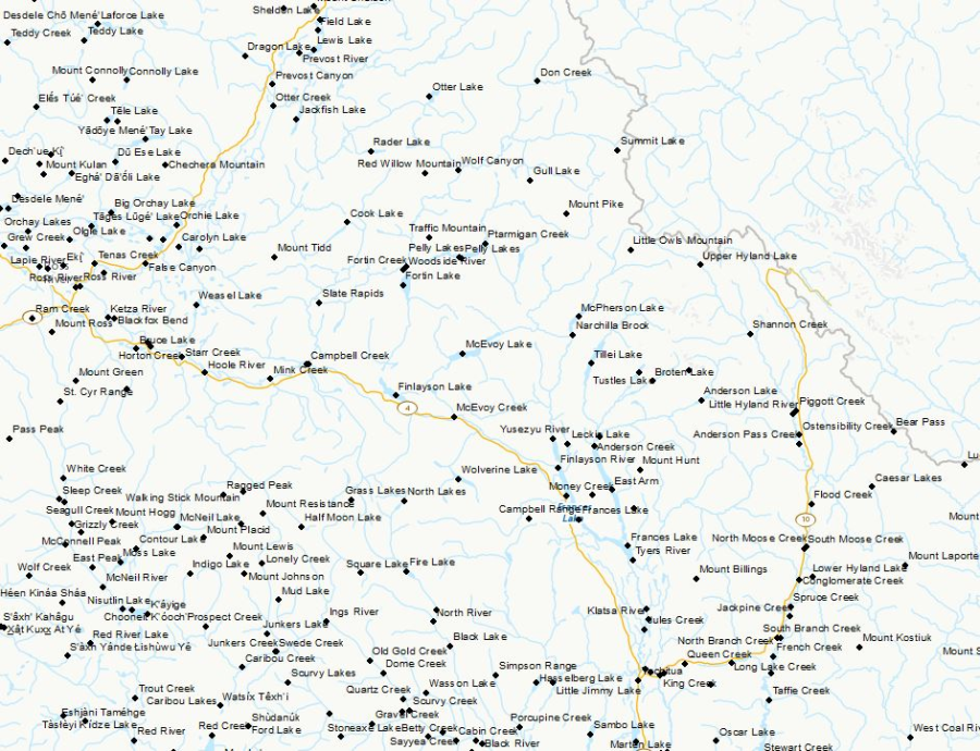
The Canadian Geographical Names Data Base (CGNDB) is the authoritative national database of Canada's geographical names. The purpose of the CGNDB is to store place names and their attributes that have been approved by the Geographical Names Board of Canada (GNBC), the national coordinating body responsible for standards and policies on place names. The CGNDB is maintained by Natural Resources Canada, through the Canada Centre for Mapping and Earth Observation. The geographic extent of the CGNDB is the Canadian landmass and water bodies; the temporal extent is from 1897 to present. This dataset is extracted from the CGNDB on a weekly basis, and consists of current officially approved names, feature type, coordinates of the feature, decision date, source, and other attributes. The output file formats for this product are: text (CSV), Shape (SHP), and Keyhole Markup Language (KML). Content advisory: The Canadian Geographical Names Database contains historical terminology that is considered racist, offensive and derogatory. Geographical naming authorities are in the process of addressing many offensive place names, but the work is still ongoing. For more information, please contact the GNBC Secretariat.
-

This is a polygon feature class representing large, named, physiographic features (areas) in the province, e.g., mountains, mountain ranges, ridges, plateaus, hills, and valleys.