 Arctic SDI catalogue
2500000
Type of resources
Available actions
Topics
Keywords
Contact for the resource
Provided by
Years
Formats
Representation types
Update frequencies
status
Scale
-
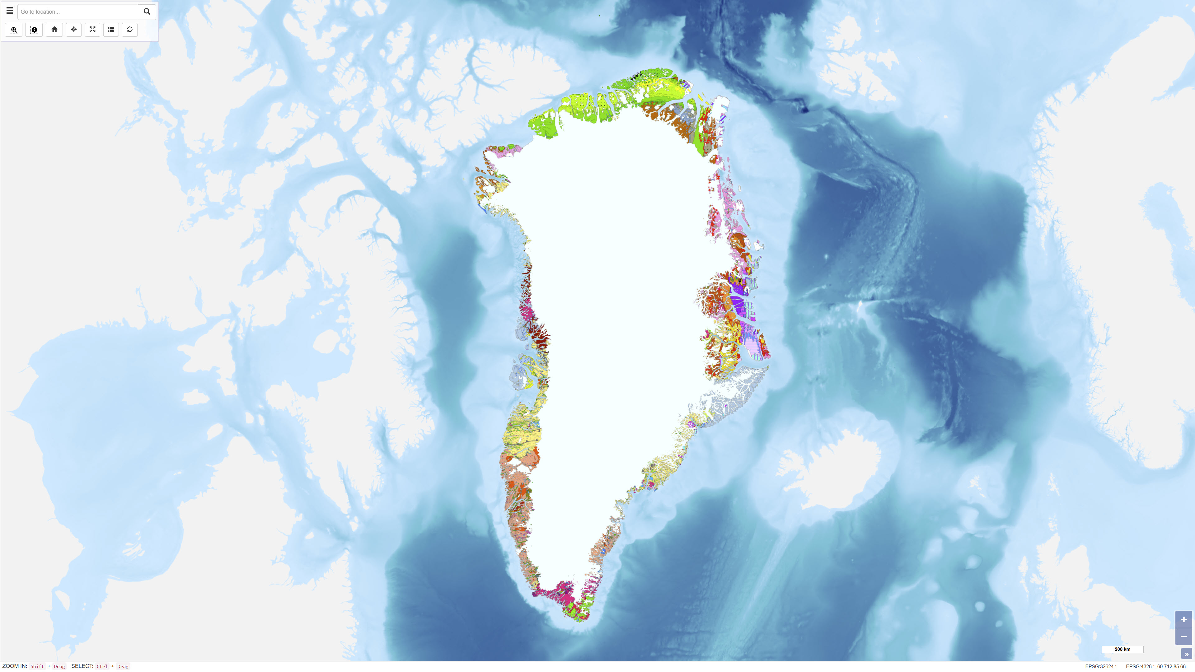
The Geological Map of Greenland at scale 1:2.500.000 provides a comprehensive regional synthesis of the geological evolution of Greenland from the earliest Archaean to the Quaternary. The map presents an integrated overview of Greenland’s geological framework, including Precambrian crystalline basement provinces, major orogenic belts, Phanerozoic sedimentary basins and widespread volcanic provinces. Greenland is characterised by large exposures of continental crust dominated by Archaean and early Proterozoic shield rocks that stabilised as part of the Laurentian shield. Younger geological elements are mainly developed along the margins of the shield, where sedimentation, deformation and magmatic activity reflect successive tectonic regimes through time. The map illustrates the distribution and relationships of these geological units and highlights the structural and stratigraphic architecture of Greenland and adjacent offshore areas. The map integrates onshore and offshore geological information and serves as a regional reference for geological interpretation, research, education and resource-related studies in Greenland.
-

Nationellt förvaltningsindex med nationell normalisering. Syftar till att på ett översiktligt sätt redovisa förändringstrycket i landskapet sett till rikssnittet. Förändringstrycket som analysen redovisar är för befolkning och bebyggelse. Statistik om antalet boende, antal fastigheter och taxeringsvärde jämförs mellan åren 2005 och 2015 för att se om trycket har ökat eller minskat sett till rikssnittet. Trycket redovisas i fyra olika index. Anledningen till att det finns olika index är för att användaren ska kunna nyttja resultatet i olika geografiska skalor. Detta är index 1, nedan finns en kort förklaring av detta index. För mer detaljerad beskrivning hänvisar vi till bifogad metodbeskrivning Index 1 har 9 klasser och är o-filtrerad. Denna lämpar sig bäst om du som användare ska titta på exempelvis skillnaden mellan orter Analysen gjordes av SCB på beställning av Länsstyrelsen. Vid nyttjande av materialet skall SCB anges som källa. Materialet får ej, varken helt eller delvis vidareförsäljas eller på annat sätt utnyttjas i kommersiella syften.