 Arctic SDI catalogue
E00
Type of resources
Topics
Keywords
Contact for the resource
Provided by
Formats
Representation types
Update frequencies
status
-
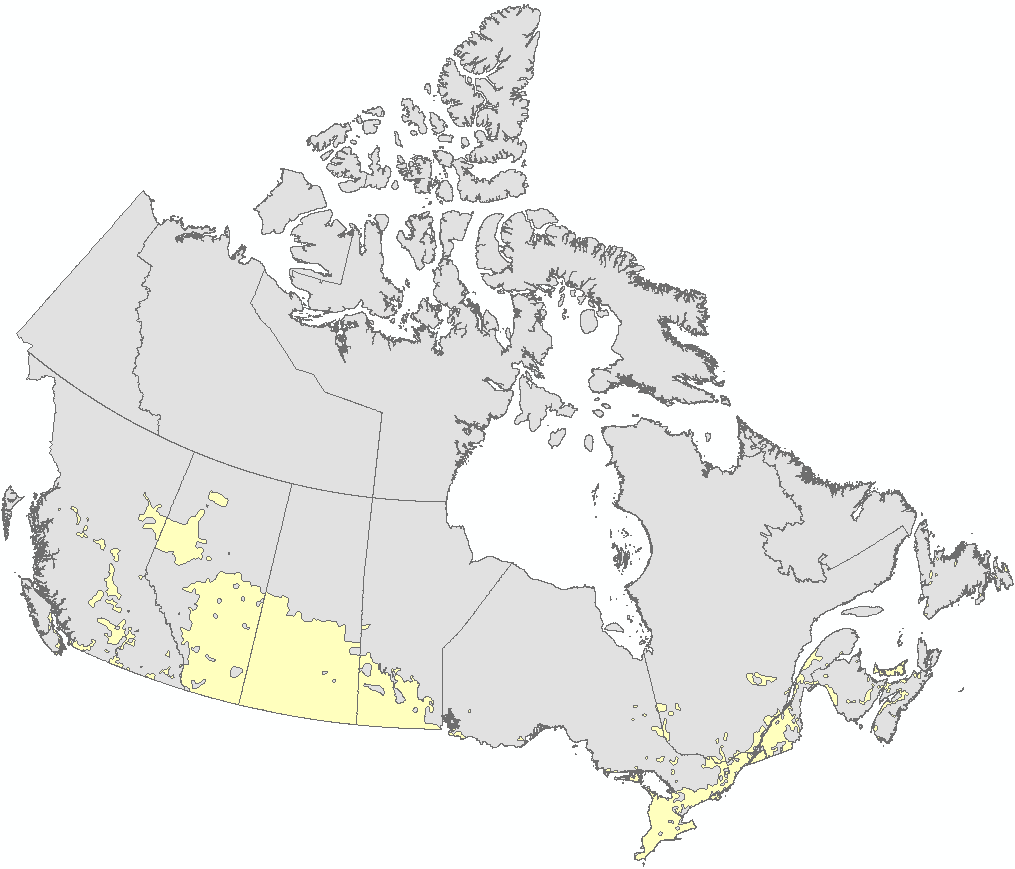
The Atlas of Canada Base Maps provide coverage of the entire Canadian landmass. Data elements are feature coded and structurally clean. Base map components are available in five scales and a number of data exchange formats. The 1:2 million and 1:7.5 million scales are the primary bases for all Atlas products. The 1:30 million scale data have been generalized from the two larger scales. The data set covers: drainage (coastlines, rivers, lakes), boundaries (federal, provincial, district, dividing lines), transportation (primary and secondary highways, selected ferry routes, rail networks), populated places, national parks. Atlas information is two-dimensional layered vector data.
-
The national agricultural ecumene includes all dissemination areas with 'significant' agricultural activity. Agricultural indicators, such as the ratio of agricultural land on census farms relative to total land area, and total economic value of agricultural production, are used. Regional variations are also taken into account. The ecumene is generalized for small-scale mapping. A new version of the agricultural ecumene is generated every census years (in vector format) since 1986. This file was produced by Statistics Canada, Agriculture Division, Remote Sensing and Geospatial Analysis section, 2017, Ottawa.