 Arctic SDI catalogue
FHIMP
Type of resources
Topics
Keywords
Contact for the resource
Provided by
Formats
Representation types
Update frequencies
status
-
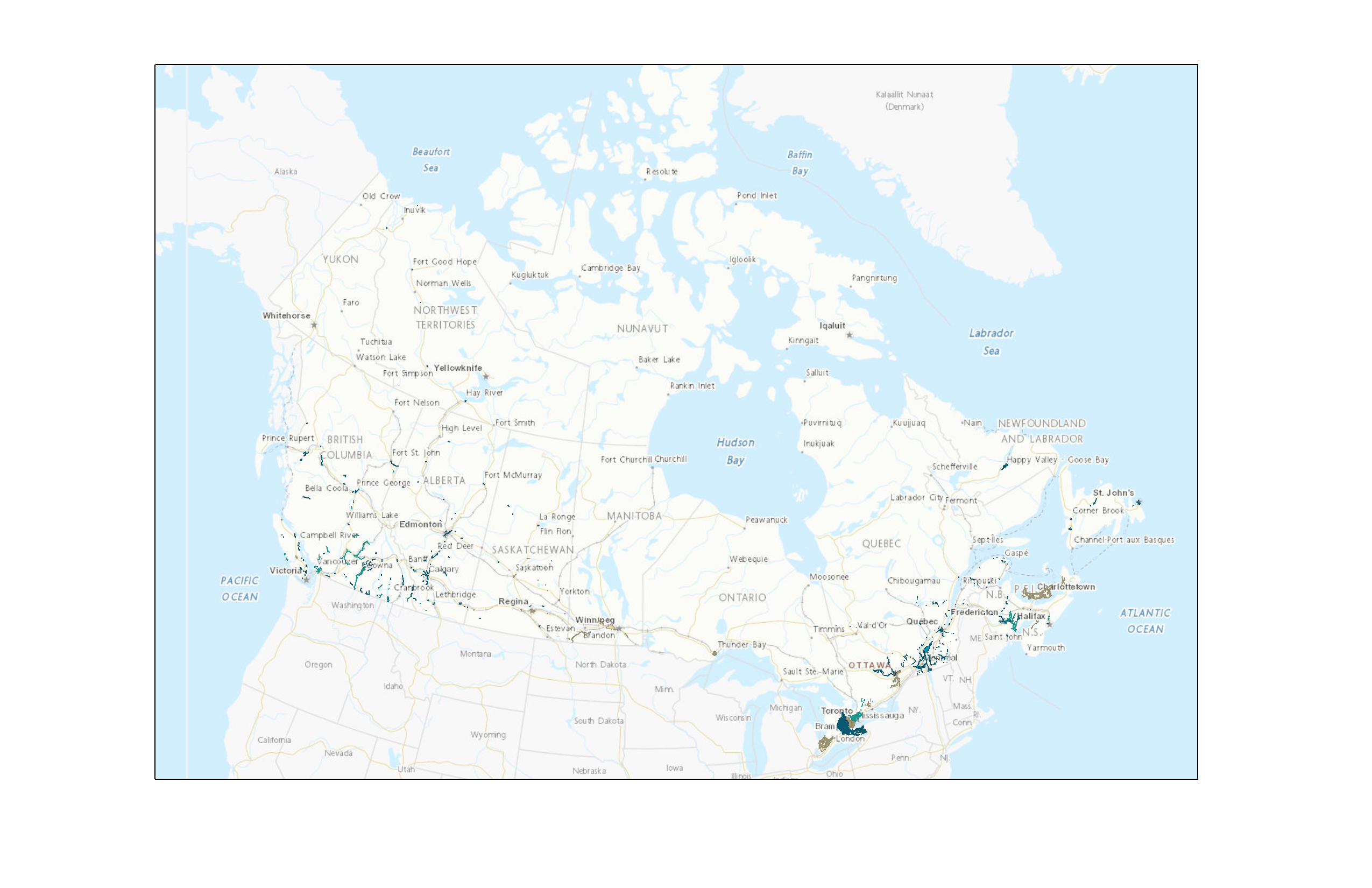
The Canada Flood Map inventory shows areas in Canada where a copy of a flood hazard map has been collected by Natural Resources Canada (NRCan). The inventory does not display flood zones or extents, but provides information on how to access these flood hazard maps. Depending on the license and availability status to the public, there may be links for download, along with reference information to the original source and/or data owner. NRCan collaborates with provincial and territorial governments to gather flood hazard maps from provinces, territories, municipalities, and other agencies responsible for flood mapping. The inventory is regularly updated to improve its completeness and accuracy. Disclaimer: The Canada Flood Map (CFM) inventory should not be regarded as the official repository of flood hazard maps in Canada. The inventory does not include all flood hazard maps in Canada and does not always reflect the most recent data sources. The absence of a map in the inventory does not mean that an area has not been mapped. The information provided is not guaranteed to be accurate or complete. Please consult the organization responsible in your province, territory or municipality for the most recent and official information on flood hazard maps. Note: Data and maps in the Inventory can be made available upon request to federal and contributing partners.
-

Representation of the causes of flooding events in the form of multiple points. The point groupings correspond to the set of locations that were affected by the same event. The inventory of past flooding events was compiled from various public sources and standardized into a common data model. Sources used are included in the data. Event locations have been extensively revised to have one location per location reported as affected by the flood. Flood events for which no location was included in the sources used are positioned on the place name of the location affected by the flood. The event positions do not indicate where the flooding occurred. Flood events that affected more than one locality are represented by a multipoint. For each event after January 1, 1980 caused by a heavy rainfall or a coastal storm , a precipitation analysis document, a precipitation animation and the precipitation data are available. These documents are the result of a collaboration with Environment and Climate Change Canada. Disclaimer: It should be noted that no consultation was conducted with the various providers and stakeholders of the historic flood data. Disparities in content among the various sources result in an incomlete product. No warranty is given as to the accuracy or completeness of the information provided. The absence of information does not mean that no flooding has occurred.