 Arctic SDI catalogue
Viruses
Type of resources
Topics
Keywords
Contact for the resource
Provided by
Formats
Representation types
Update frequencies
status
-
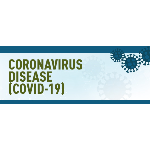
The data contained in the dashboard describes the COVID-19 cases and deaths by province and health regions. The dashboard is developed by the Public Health Infobase in collaboration with the Health Portfolio Operation Center and the Public Health Geomatics Unit of the Public Health Agency of Canada. The data is provided by the COVID-19 Canada COVID Open Data Working Group (CCODWG) and by the Provinces and Territories through the Public Health Agency of Canada. This health region data is verified by the Public Health Agency of Canada in collaboration with Natural Resources Canada. The population data is provided by Statistics Canada. The chart on the cases and deaths are done the confirmed cases of COVID-19.
-

In 2018, Fisheries and Oceans Canada initiated the Multidisciplinary Arctic Program (MAP) – Last Ice, the first ecosystem study of the poorly characterized region of the Lincoln Sea in the Marine Protected Area of Tuvaijuittuq, where multiyear ice still resides in the Arctic Ocean. MAP-Last Ice takes a coordinated approach to integrate the physical, biochemical, and ecological components of the sea ice-ocean connected ecosystem and its response to climate and ocean forcings. The cross-disciplinary program establishes baseline ecological knowledge for Tuvaijuittuq and, in particular, for its unique multiyear ice ecosystem. The database provides baseline data on the abundance of bacteria and viruses in multi- and first-year ice and in surface waters of the Lincoln Sea in Tuvaijuittuq, and their relation to bio-physical conditions. The data were collected during the 2018 spring field campaign of the MAP-Last Ice Program, at an ice camp offshore of Canadian Forces Station (CFS) Alert.