 Arctic SDI catalogue
Water transport
Type of resources
Available actions
Topics
Keywords
Contact for the resource
Provided by
Formats
Representation types
Update frequencies
status
-
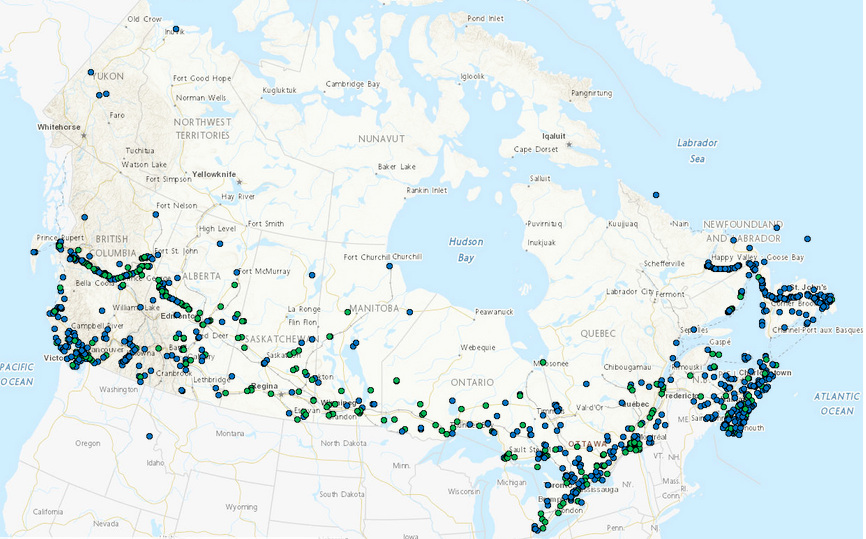
Projects submitted to Transport Canada’s Navigation Protection Program. Please note that where appropriate, the content is displayed in the language of the original submission and has not been altered.
-

This service provides routeing measures. These include established (mandatory) direction of traffic flow, recommended direction of traffic flow, separation lines, separation zones, limits of restricted routeing measure, limits of routeing measures, precautionary areas, archipelagic sea lanes (axis line and limit beyond which vessels shall not navigate) and fairways designated by regulatory authority.
-

Canadian Anchorages and Anchorage Areas is comprised of four shapefiles which include anchorage areas (ACHARE) and single ship anchorages (ACHBRT). The shapefiles are either one with points and one with polygons for each of the two types of anchorages. These files are a comprehensive dataset of anchorages and anchorage areas in Canadian navigable waters. This dataset will be updated as needed.
-

This service provides a compilation of Electronic Navigational Charts (ENC) produced by the Canadian Hydrographic Service. All information provided by this service conforms to the International Hydrographic Organization (IHO) Publication S-57. An ENC contains all the chart information useful for navigation, and may contain supplementary information in addition to that contained in the paper chart. This service is not for navigation.