 Arctic SDI catalogue
Western provinces
Type of resources
Topics
Keywords
Contact for the resource
Provided by
Years
Formats
Representation types
Update frequencies
status
Service types
-
The Community Pasture Program was a land-management service provided in the Prairie provinces. The program ended on March 31, 2019. The geographic data series that was associated with the program included information about program geography and facilities, including representations of fences and the fields they enclose, pasture outlines and features such as corrals, dams and gates. The information provided in this series is for reference purposes only.
-

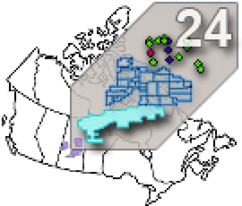
The "Hydrometric Gauging Stations of the AAFC Watersheds Project - 2013" dataset is a geospatial data layer containing point features representing the hydrometric gauging stations of the Agriculture and Agri-Food Canada (AAFC) Watersheds Project. The gauging stations are sourced from Environment Canada, the United States and Canadian provinces. Additional virtual stations have been generated to address hydrometric structural issues, like river confluences or lake inlets. Attribute information includes station identification, location and associated catchments/basins.
-
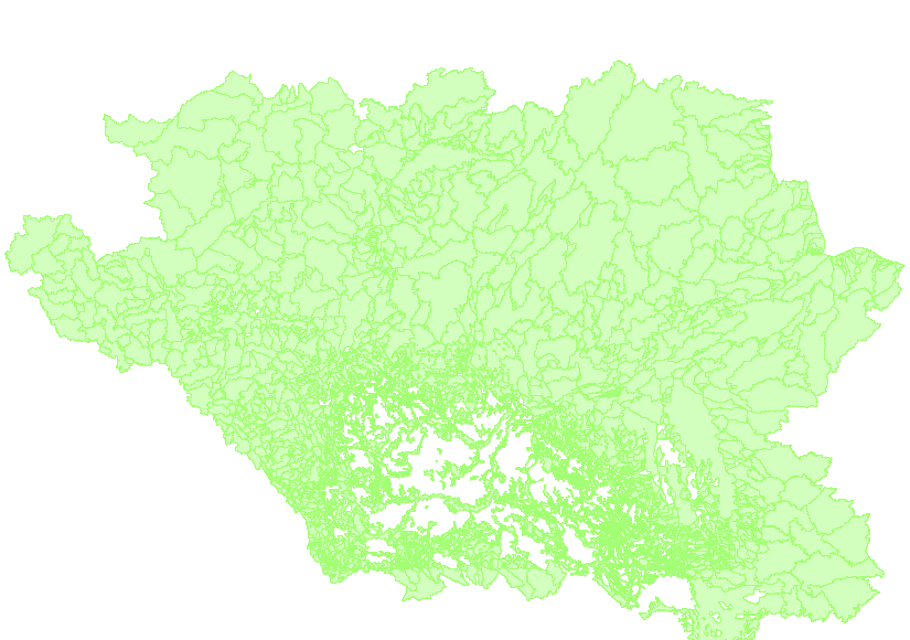
The Agriculture and Agri-Food Canada’s (AAFC) Watersheds Project level series supplies a number of watershed and watershed related datasets for the Prairie Provinces. The levels are greater or smaller assemblages of hydrometric areas, or the components defining them. The Project is organized by hydrometric gauging stations which are sourced from Environment Canada, the United States, and Canadian provinces. Additional stations were generated to address structural issues, like river confluences or lake inlets. Collectively, they are referred to as the gauging stations, or simply, the stations. The drainage area that each station monitors, between itself and one or more of its upstream neighbours, is called an ‘incremental gross drainage area’. The incremental gross drainage areas are collected into larger or smaller groupings based on size or defined interest to generate the various ‘levels ’of the series. They include: Basins of varying size: 1. Major drainage systems (3): Arctic Ocean, Hudson Bay and Gulf of Mexico; 2. Major basins (23): associated with river or lake reaches; 3. Project sub-basins (47): created specifically for the project; 4. Sub-basins (51): based on specific Environment Canada hydrometric gauging station locations; 5. Sub-sub-basins (311): based on specific Environment Canada hydrometric gauging station locations); Incremental drainage areas: 6. Incremental gross drainage areas: one per gauging station. The incremental gross drainage areas are further subdivided into portions that either contribute or do not contribute to drainage to an average runoff event. The portions that do contribute are called ‘effective drainage’ areas, while those that don’t are called ‘non-contributing’. These generate the following levels: 7. Incremental effective drainage areas; and 8. Incremental non-contributing areas. Total drainage areas: 9. Total gross drainage areas; 10. Total effective drainage areas; and 11. Total non-contributing areas; And when combined for the entire project, yields the: 12. Effective drainage area. The series also includes the components: 13. The gauging stations; 14. The collection of boundaries (lines) of the gross incremental drainage areas as well as the boundaries that separate contributing from non-contributing areas for an average runoff event; and 15. A network of downstream-directed lines that connect the gauging stations. All linework is derived from large scale topographic data. One additional non-spatial dataset, a table of tallied values by gauging station, is provided: 16. The Project Gauging Station Table. The Project area, designed for the Prairie Provinces, covers all of Alberta, Saskatchewan and Manitoba, and those portions of British Columbia, Northwest Territories, Nunavut, Ontario, and the United States that are required to complete the trans-border sections of the watersheds. Since 1975 the AAFC Watersheds Project has systematically collected and refined watershed boundaries for the Prairies. The result is the authoritative source for gross and effective drainage areas in the Prairie Provinces. The initial 1:50,000 analog delineations were moved to their digital form in 1994. Since then, the delineations have increased in accuracy and extent, and the series levels have increased to 16 in number.
-

The “Sub-basins of the AAFC Watersheds Project – 2013” dataset is a geospatial data layer containing polygon features representing the Standard Drainage Area Classification (SDAC) 2003 defined sub-drainages of the Agriculture and Agri-Food Canada (AAFC) Watersheds Project. Canada has eleven major drainage areas which are divided into 164 sub-drainage areas. All drainage areas and sub-drainage areas are named and have an identifying ‘number’. Sub-drainage areas have ‘numbers’ that share a common ‘three-character’ designation. For example, the 05A sub-basin contains stations ‘numbered’ 05AB006 and 05AC007.
-

The "Effective Drainage Area of the AAFC Watersheds Project - 2013" dataset is a geospatial data layer containing polygon features representing the areas of the Agriculture and Agri-Food Canada's (AAFC) Watersheds Project that could, for the entire project areas, be expected to contribute to surface runoff under average runoff conditions.
-

The "Areas of Non-Contributing Drainage within Total Gross Drainage Areas of the AAFC Watersheds Project - 2013" dataset is a geospatial data layer containing polygon features representing the areas within the “total gross drainage areas” of each gauging station of the Agriculture and Agri-Food Canada (AAFC) Watersheds Project that DO NOT contribute to average runoff. A “total gross drainage area” is the maximum area that could contribute runoff for a single gauging station – the “areas of non-contributing drainage” are those parts of that “total gross drainage area” that DO NOT contribute to average runoff. For each “total gross drainage area” there can be none to several unconnected “areas of non-contributing drainage”. These polygons may overlap with those from other gauging stations’ “total gross drainage area”, as upstream land surfaces form part of multiple downstream gauging stations’ “total gross drainage areas”.
-

The “Major Drainage Systems of the AAFC Watersheds Project - 2013” dataset is a geospatial data layer containing polygon features representing the three (3) major drainage system basins of the Agriculture and Agri-Food Canada (AAFC) Watersheds Project. The Project area has been split according into which body of water it drains: the Arctic Ocean, Hudson Bay or Gulf of Mexico.
-

The “Sub-sub-basins of the AAFC Watersheds Project – 2013” dataset is a geospatial data layer containing polygon features representing the Standard Drainage Area Classification (SDAC) 2003 defined sub-sub-drainage areas of the Agriculture and Agri-Food Canada (AAFC) Watersheds Project. Canada has eleven major drainage areas which are divided into 164 sub-drainage areas; the 164 sub-drainage areas are then further divided into 978 sub-sub-drainage areas. All drainage areas, sub-drainage areas and sub-sub-drainage areas are named and have an identifying ‘number’. Sub-sub-drainage areas have ‘numbers’ that share a common ‘four-character’ designation. For example, the 05AB sub-sub-basin contains amongst others, station 05AB006, while the 05AC sub-sub-basin contains station 05AC007 (and others).
-
The “Incremental Effective Drainage Areas of the AAFC Watersheds Project– 2013” dataset is a geospatial data layer containing polygon features representing the portions of each incremental gross drainage area of the Agriculture and Agri-Food Canada (AAFC) Watersheds Project that could be expected to contribute to surface runoff under average runoff conditions. An ‘incremental gross drainage area’ is a hydrometric gauging station's drainage basin, less that of the next upstream gauging station(s)’. ‘Effective drainage’ occurs in areas that are expected to supply surface runoff in an average runoff.
-

The “Incremental Gross Drainage Areas of the AAFC Watersheds Project - 2013” dataset is a geospatial data layer containing polygon features representing the incremental gross drainage areas of the Agriculture and Agri-Food Canada (AAFC) Watersheds Project. The Project area is subdivided by hydrometric gauging station. The maximum area that could contribute runoff to each station, less that of its upstream neighbour(s) is called an ‘incremental gross drainage area’.