Watersheds
Type of resources
Available actions
Topics
Keywords
Contact for the resource
Provided by
Years
Formats
Representation types
Update frequencies
status
Service types
-

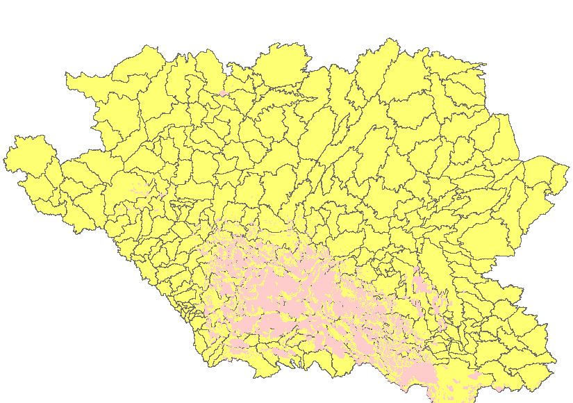
The “Non-contributing Portions of the Incremental Gross Drainage Areas of the AAFC Watersheds Project – 2013” dataset is a geospatial data layer containing polygon features representing the areas within each incremental gross drainage area of the Agriculture and Agri-Food Canada (AAFC) Watersheds Project that DO NOT contribute to average runoff. The Project is subdivided by hydrometric gauging station. The maximum area that could contribute runoff to each gauging station, less that of its upstream neighbour(s) is called an “incremental gross drainage area”. The “incremental gross drainage” areas can be subdivided into portions that either supply surface runoff to an average runoff, or do not. Those portions that are NOT part of the effective drainage area are called ‘non-contributing'.
-
Topographic data for lakes within the Qu'Appelle River Valley in central Saskatchewan. This data was collected in the fall of 2008 and consists of contour lines, shorelines, spot heights, and tile index. For more information, visit: http://open.canada.ca/data/en/dataset/d838afd0-8918-42e1-acdd-8c69f9b5a7e1
-

286 LiDAR derived Watersheds modified for coastal flooding by the Resource Inventory & Modelling Section. There is an increase from the 260 original watersheds to aid in mapping flood scenarios over smaller areas.
-

The “Annual Unit Runoff (dam3/km2) for a 75% Probability of Exceedence” dataset is a line data set that covers the extent of Canada. It shows the 75% Probability of exceedence annual unit runoff.
-

Spot Height Points for the Pasqua, Crooked, Echo, and Round Lakes area within the Qu'Appelle Valley River system in Saskatchewan
-

Contour Lines for the Pasqua, Crooked, Echo, and Round Lakes within the Qu’Appelle Valley river system in Saskatchewan
-

Flight lines for the Pasqua, Crooked, Echo, and Round Lakes area within the Qu'Appelle Valley River system in Saskatchewan
-

The “Annual Unit Runoff (dam3/km2) for a 10% Probability of Exceedence” dataset is a line data set that covers the extent of Canada. It shows the 10% Probability of exceedence annual unit runoff.
-

The “Annual Unit Runoff (dam3/km2) for a 80% Probability of Exceedence” dataset is a line data set that covers the extent of Canada. It shows the 80% Probability of exceedence annual unit runoff.
 Arctic SDI catalogue