 Arctic SDI catalogue
Chlorophyll-a
Type of resources
Topics
Keywords
Contact for the resource
Provided by
Formats
Representation types
Update frequencies
status
-

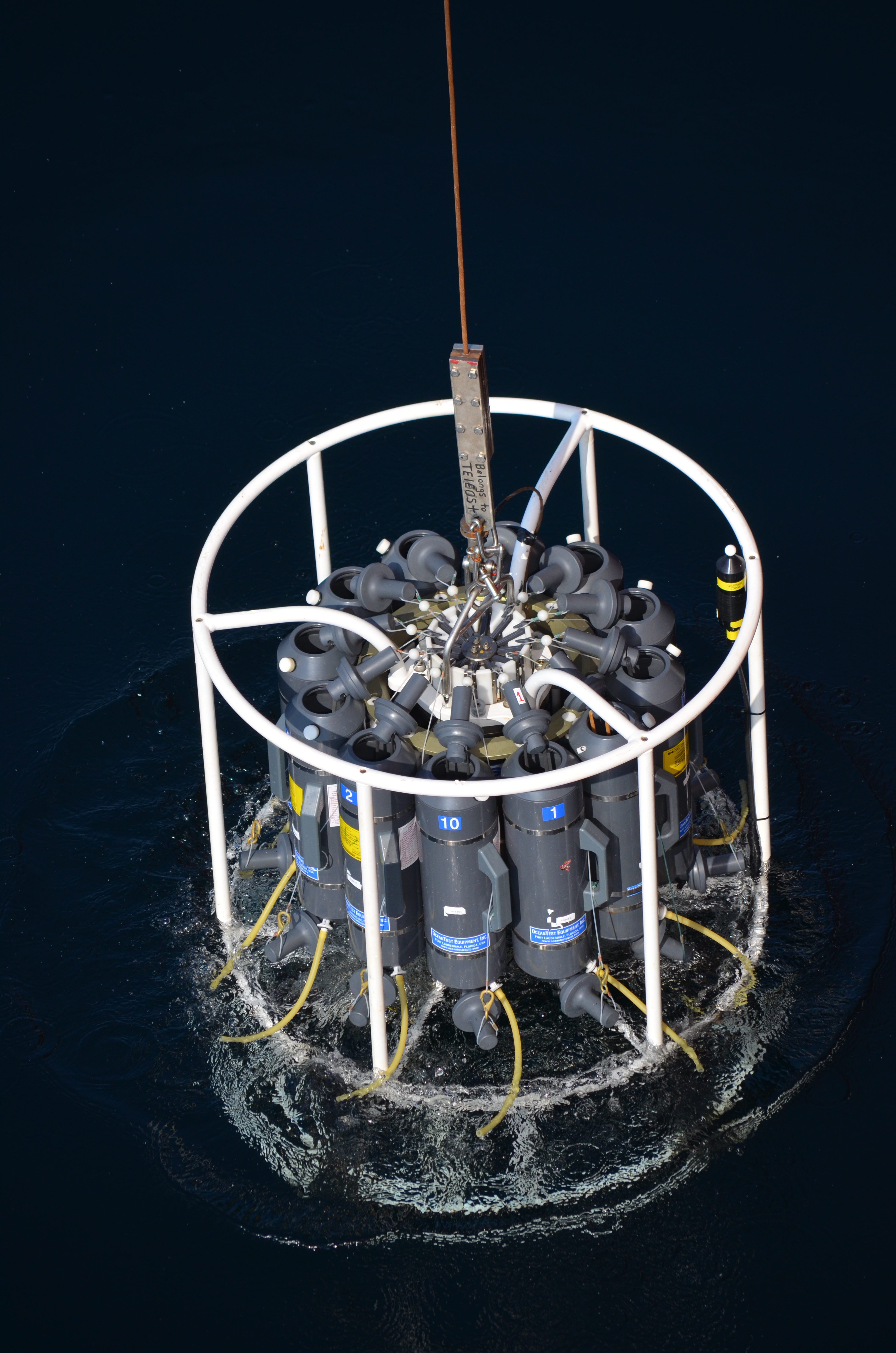
Description: Chlorophyll-a concentration (a proxy for phytoplankton biomass) was retrieved from the MODIS instrument on the Aqua satellite, with data distributed by the NASA Ocean Biology Processing Group, and averaged into monthly climatological composites. The data span the years 2003-2020 and this record includes data at 1 km pixel resolution. Methods: MODIS-Aqua Chlorophyll-a (Chl-a) was acquired from the NASA Ocean Biology Processing Group at processing Level-2 (version 2018), 1-km resolution, where Chl-a concentration was calculated using the OC3/OCI method. The months of January and December were excluded from this dataset, as data in the winter months at higher latitudes are missing due to low sun angle preventing acquisition. The pixels were aligned on a regular grid using the SeaDAS program, after which the monthly geometric mean value at all pixels was calculated for individual years. Finally, the geometric mean and geometric standard deviation factor of chlorophyll-a were calculated by month from these images. These methods of calculating mean and standard deviation were used due to the log-normal distribution of chlorophyll-a. The geometric standard deviation is a unitless factor, where the lower bound is the ratio of the geometric mean and geometric standard deviation, and the upper bound is the multiplication of the two. In addition to these variables, the number of occurrences of valid data at each pixel over the period of observation were calculated. Pixels with fewer than two occurrences over the entire period of observation were removed from these maps, and set to a NaN value in the tif files. A few small gaps between pixels (near the edges of individual images) were filled using the median value of surrounding pixels, provided there were greater than 4 values. Finally, all rasters were cropped to the Canadian Exclusive Economic Zone and assigned to the NAD83 geographic coordinate reference system (EPSG:4269), and have a final pixel resolution of approximately 0.01 degrees. The monthly geometric mean, monthly geometric standard deviation factor, and number of occurrences for all pixels are provided. Data Sources: NASA Ocean Biology Processing Group. (2017). MODIS-Aqua Level 2 Ocean Color Data Version R2018.0. NASA Ocean Biology Distributed Active Archive Center. https://doi.org/10.5067/AQUA/MODIS/L2/OC/2018 Uncertainties: Satellite values have been evaluated against global datasets, and datasets of samples in the Pacific region (see references). However, uncertainties are introduced when averaging together images over time as each pixel has a differing number of observations. Short-lived or spatially limited events may be missed.
-
The Department of Fisheries and Oceans (DFO) holds discrete oceanographic, biological, and chemical data collected throughout the St. Lawrence Estuary, the Gulf of St. Lawrence, and the Saguenay Fjord, as well as data gathered outside of these zones during non-routine surveys (collected by the Quebec region). These data come from samples taken at different depths in the water column (surface, bottom, and intermediate depths), mainly during annual scientific missions such as: - weekly monitoring at fixed stations (Rimouski, Shediac Valley) - annual multispecies surveys (Northern and Southern Gulf) - spring and fall missions of the Atlantic Zone Monitoring Program This dataset presents the variables most frequently sampled for the period 1990 to two years prior to the present, namely, salinity, dissolved oxygen concentration, chlorophyll-a concentration, nutrient concentrations (nitrite, nitrate, silicate, phosphate), pH and alkalinity. These measurements are often accompanied by data from CTD profiles (Conductivity, Temperature, Depth/Pressure) and auxiliary sensors (fluorescence, turbidity, pH). Annual synthesis of the chemical and biological oceanographic conditions of the study area have been published since 2011, and reports on zonal conditions of the four Atlantic regions of DFO are also available for certain years: https://www.dfo-mpo.gc.ca/science/data-donnees/azmp-pmza/index-eng.html This record is updated annually as new data become available. To obtain access to earlier data, less frequently sampled variables, or specifications regarding laboratory analyses (analytical methods, preservation, and storage), please contact the data management team at: gddaiss-dmsaisb@dfo-mpo.gc.ca. Notes: This publication contains data extracted from the national BioChem database (Biological and Chemical Marine Data: DFO.BioChemDatabase-BasededonneesBioChem.MPO@DFO-MPO.GC.CA). When replicate samples were present, the values were averaged, and values were grouped by variable regardless of the analysis method, preservation method, or storage method. The grouping of variables collected at the same station is based on spatial and temporal metadata: LATITUDE, LONGITUDE, DATE, and TIME.