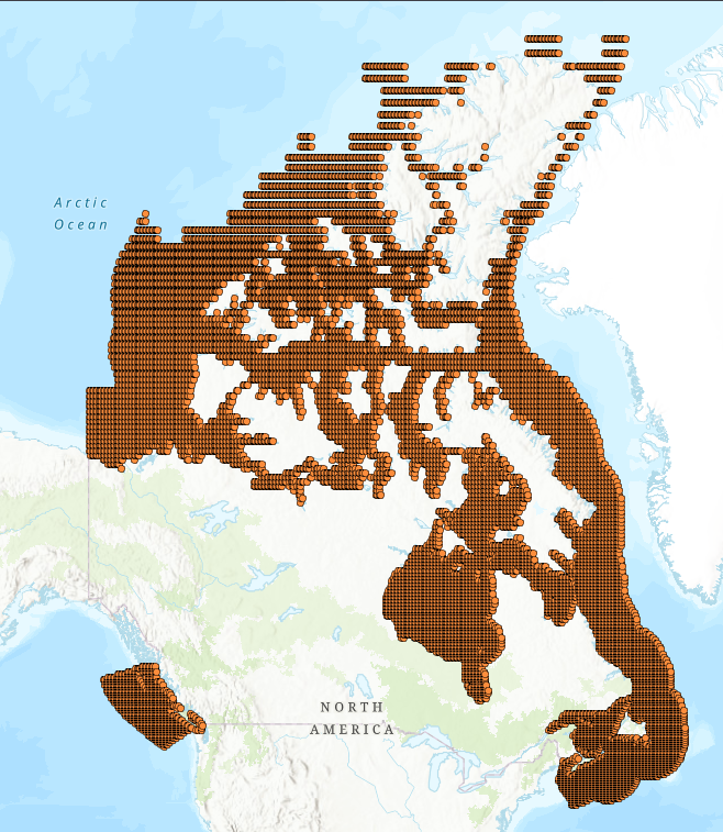
 Arctic SDI catalogue
Risk management
Type of resources
Available actions
Topics
Keywords
Contact for the resource
Provided by
Formats
Representation types
Update frequencies
status
-
Significant climate change impacts are highly likely in all Canadian marine and freshwater basins, with effects increasing over time (DFO 2012). Climate models project that ecosystems and fisheries across Canada will be disrupted into the foreseeable future (Lotze et al. 2019; Bryndum-Buchholz et al. 2020; Tittensor et al. 2021; Boyce et al. 2024). Despite its imminence, climate change is infrequently factored into Canada’s primary marine conservation strategies, such as spatial planning (O’Regan et al. 2021) or fisheries management (Boyce et al. 2021; Pepin et al. 2022). The Climate Risk Index for Biodiversity (CRIB) was developed to assess climate risk for marine species in a quantitative, spatially explicit, and scalable manner, supporting climate-informed decision-making. It has been used to evaluate climate risks for marine life globally (Boyce et al. 2022), regionally (Lewis et al. 2023; Boyce et al. 2024; Keen et al. 2023), for fisheries (Boyce et al. 2024), and in support of spatial conservation planning (Keen et al. 2023). This dataset contains climate vulnerability and risk estimates from the CRIB framework adapted to consider warming at both the sea surface and its bottom for 145 marine species of conservation or fisheries interest across Canada’s marine territory. Climate risk is available at a 0.25-degree resolution under two contrasting emission scenarios to 2100. For each species, location, and scenario, 12 climate indexes, three vulnerability dimensions, and an overall vulnerability and risk score are provided. The accompanying report describes the data, methods, and workflow used to calculate risk. This report also guides the interpretation of these data to inform and support climate-informed decision-making in Canada.
-
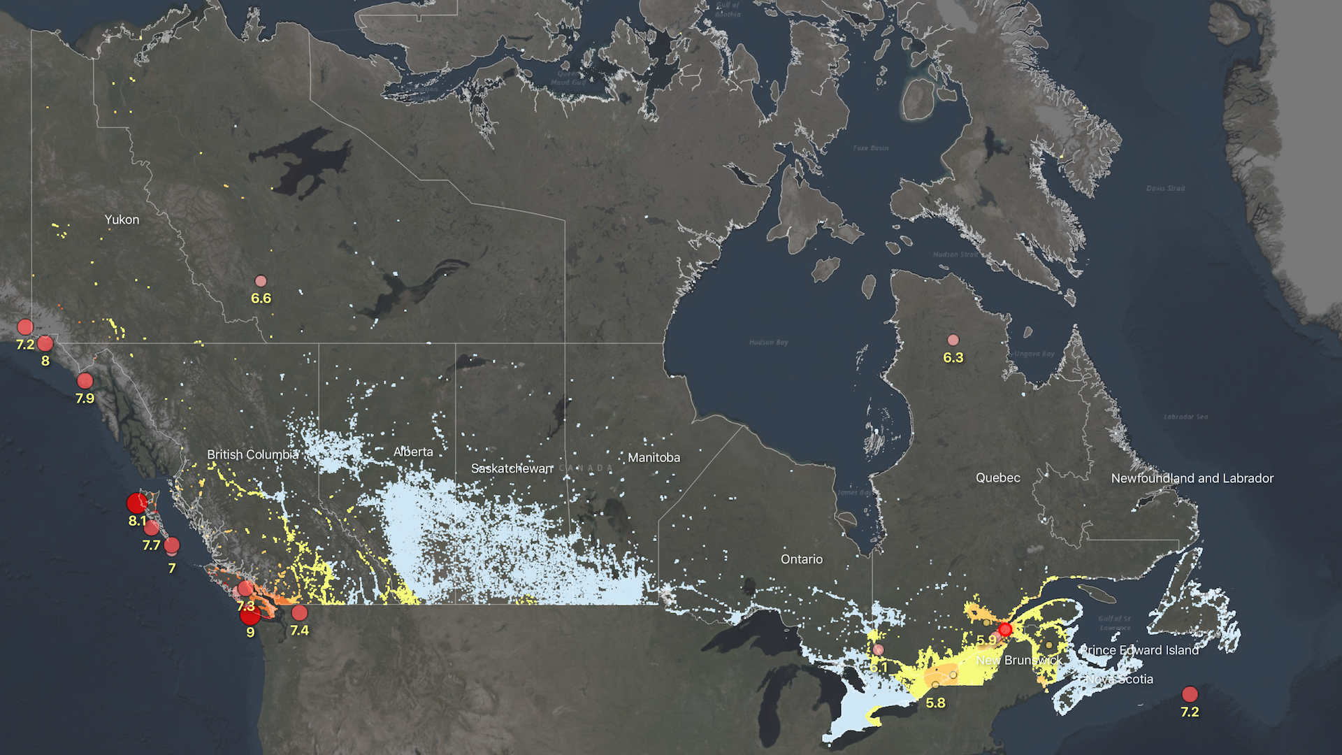
The Probabilistic Seismic Risk Model for Canada introduces a structured framework of indicators that profile the physical, social and economic dimensions of earthquake risk at the neighborhood scale. Risk metrics include measures of building damage and collapse probability, life safety and expected economic losses. An overall risk rating is also provided which aggregates the physical, social, and economic dimensions of risk. The probabilistic assessment reports information based on both the ‘total’ impact as well as the ‘percentage’ impact. It considers only damage to buildings, and their inhabitants, from earthquake shaking, and therefore does not include damage to critical infrastructure or vehicles. Losses from secondary hazards, such as aftershocks, liquefaction, landslides, or fire following are also not currently included. The information is provided at the approximate scale of Census dissemination areas, and is intended to support planning and emergency management activities in earthquake prone regions. This project is run by the Geological Survey of Canada's Public Safety Geoscience Program. For inquiries related to Canada's Seismic Risk Model, please contact Tiegan E. Hobbs at tiegan.hobbs@nrcan-rncan.gc.ca. If you are looking for our end-user interface or any associated documentation, please visit www.RiskProfiler.ca.