 Arctic SDI catalogue
Water management
Type of resources
Available actions
Topics
Keywords
Contact for the resource
Provided by
Formats
Representation types
Update frequencies
status
-
The “Canadian Agricultural Crop Water Balance – Watershed Aggregates” provides watershed-scale summaries of agricultural crop water balance variables for Canada derived from DNDC crop simulations linked to Soil Landscapes of Canada (SLC) polygons. The monthly outputs have been aggregated and released as annual and growing season summaries to support national water accounting and watershed-scale analysis. Crop water variables, originally expressed as depth (millimetres), are converted to volumes using simulated crop area and spatially aggregated to drainage regions through polygon–watershed intersection and area apportionment. Aggregated volumes are then converted back to area-weighted depths to ensure water quantities are preserved during spatial aggregation. Released datasets include annual and growing season estimates of evapotranspiration, precipitation, irrigation application, leaching, and irrigated-field runoff associated with agricultural crop production. Supporting tables provide total and irrigated crop area contributing to each watershed estimate. Spatial processing is performed using the Statistics Canada Albers Equal Area projection (EPSG:3347), with raster products aligned to the Statistical Ecosystem Register 250m grid.
-

The “Annual Unit Runoff (dam3/km2) for a 80% Probability of Exceedence” dataset is a line data set that covers the extent of Canada. It shows the 80% Probability of exceedence annual unit runoff.
-
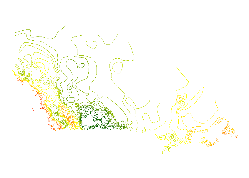
The “Annual Unit Runoff (dam3/km2) for a 50% Probability of Exceedence” dataset is a line data set that covers the extent of Canada. It shows the 50% Probability of exceedence annual unit runoff.
-

The “Annual Unit Runoff (dam3/km2) for a 10% Probability of Exceedence” dataset is a line data set that covers the extent of Canada. It shows the 10% Probability of exceedence annual unit runoff.
-

The “Annual Unit Runoff (dam3/km2) for a 90% Probability of Exceedence” dataset is a line data set that covers the extent of Canada. It shows the 90% Probability of exceedence annual unit runoff.
-

The “Annual Unit Runoff (dam3/km2) for a 25% Probability of Exceedence” dataset is a line data set that covers the extent of Canada. It shows the 25% Probability of exceedence annual unit runoff.
-

The “Annual Unit Runoff (dam3/km2) for a 75% Probability of Exceedence” dataset is a line data set that covers the extent of Canada. It shows the 75% Probability of exceedence annual unit runoff.
-

The “Stations used for Unit Runoff Analysis” dataset is a point data set for select hydrological stations that covers the extent of Canada.
-

The “Annual Unit Runoff (dam3/km2) for a 70% Probability of Exceedence” dataset is a line data set that covers the extent of Canada. It shows the 70% Probability of exceedence annual unit runoff.
-

The “AAFC Annual Unit Runoff in Canada" data series illustrates runoff trends across the country by isolines of annual unit runoff for a variety of probabilities of exceedence commonly used by decision makers Annual unit runoff is a measure of runoff volume per square kilometre. This series uses units of cubic decametres (1000 m3) per square kilometre (dam3/km2), which is equivalent to millimetres depth on the landscape. It includes a point data set for the hydrologic stations that were analyzed and seven sets of line work to show the adjusted isolines for 10%, 25%, 50%, 70%, 75%, 80%, and 90% probability of exceedence.