 Arctic SDI catalogue
Digital elevation model
Type of resources
Available actions
Topics
Keywords
Contact for the resource
Provided by
Formats
Representation types
Update frequencies
status
Scale
-
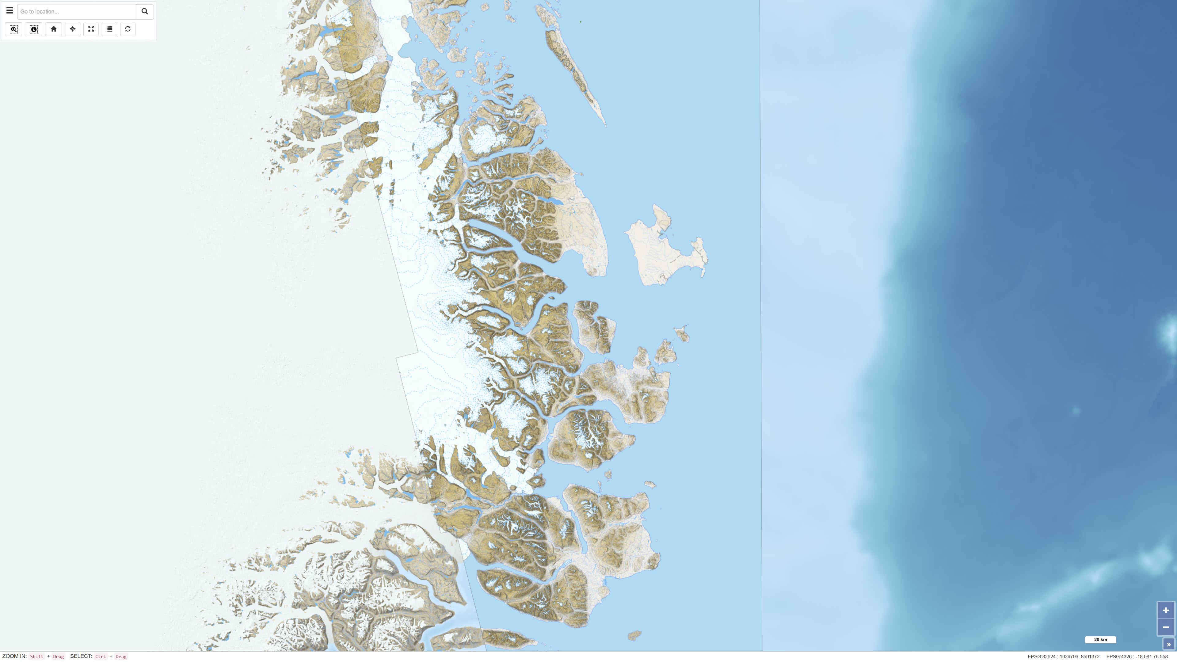
This dataset comprises a multidirectional hillshade raster derived from the Greenland Mapping Project (GIMP) Digital Elevation Model. The hillshade was produced to serve as a semi-transparent overlay for cartographic applications, enhancing terrain depth and surface detail while preserving the original colour characteristics of underlying map layers. The multidirectional illumination method reveals terrain variation from multiple light directions, providing improved representation of landforms compared to traditional single-direction hillshading. The dataset is intended for visualisation purposes in web maps and other cartographic products.
-
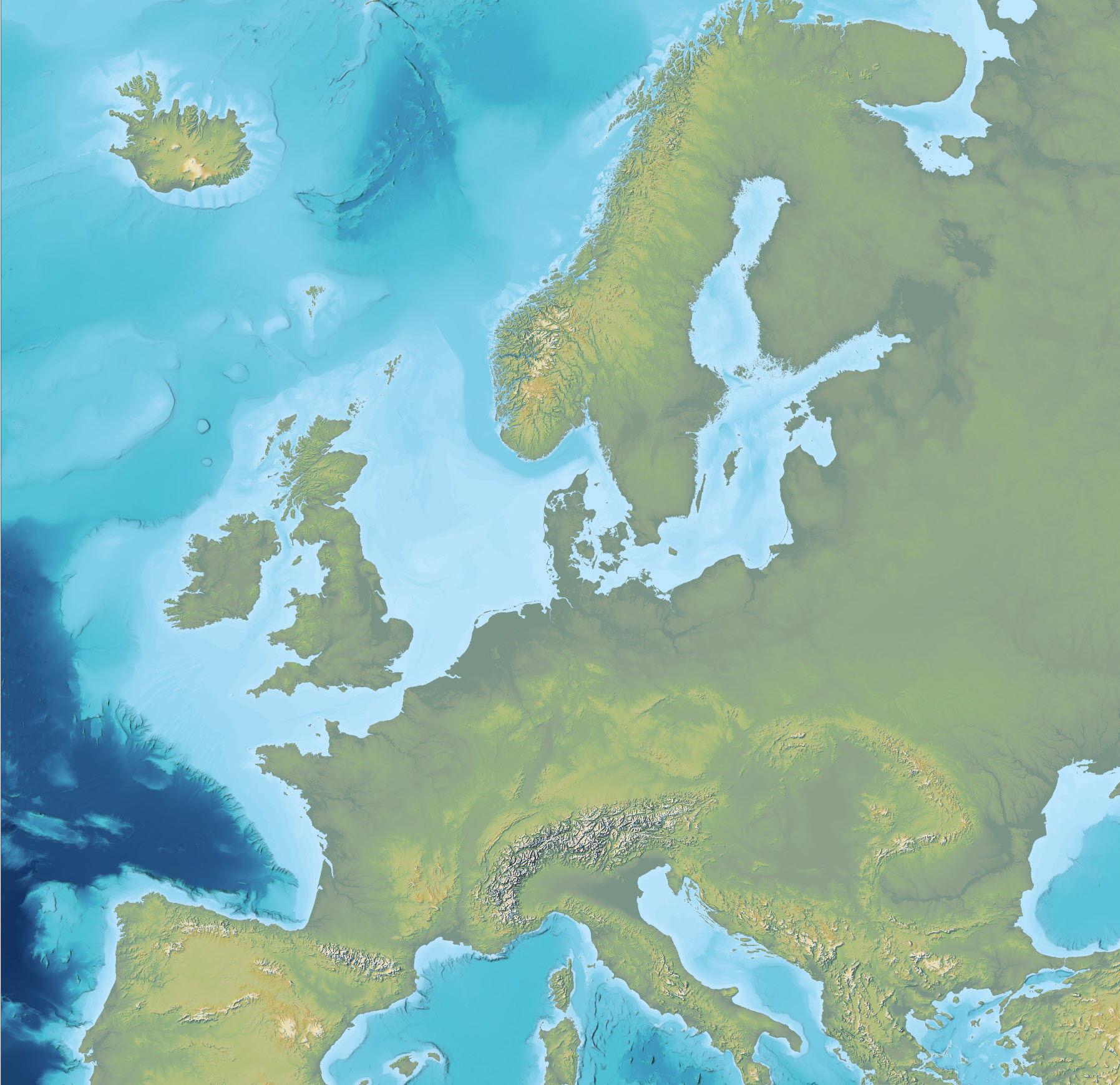
The dataset is an Imhof-inspired cartographic base map combining topography and bathymetry, covering European countries and adjacent marine areas. The map has been constructed by merging several existing digital elevation models, with topography primarily based on EU-DEM v1.1 and the Shuttle Radar Topography Mission (SRTM), and bathymetry derived from the General Bathymetric Chart of the Oceans (GEBCO). The dataset provides a continuous surface integrating land and marine areas and has been developed with a focus on visual quality and regional applications.
-
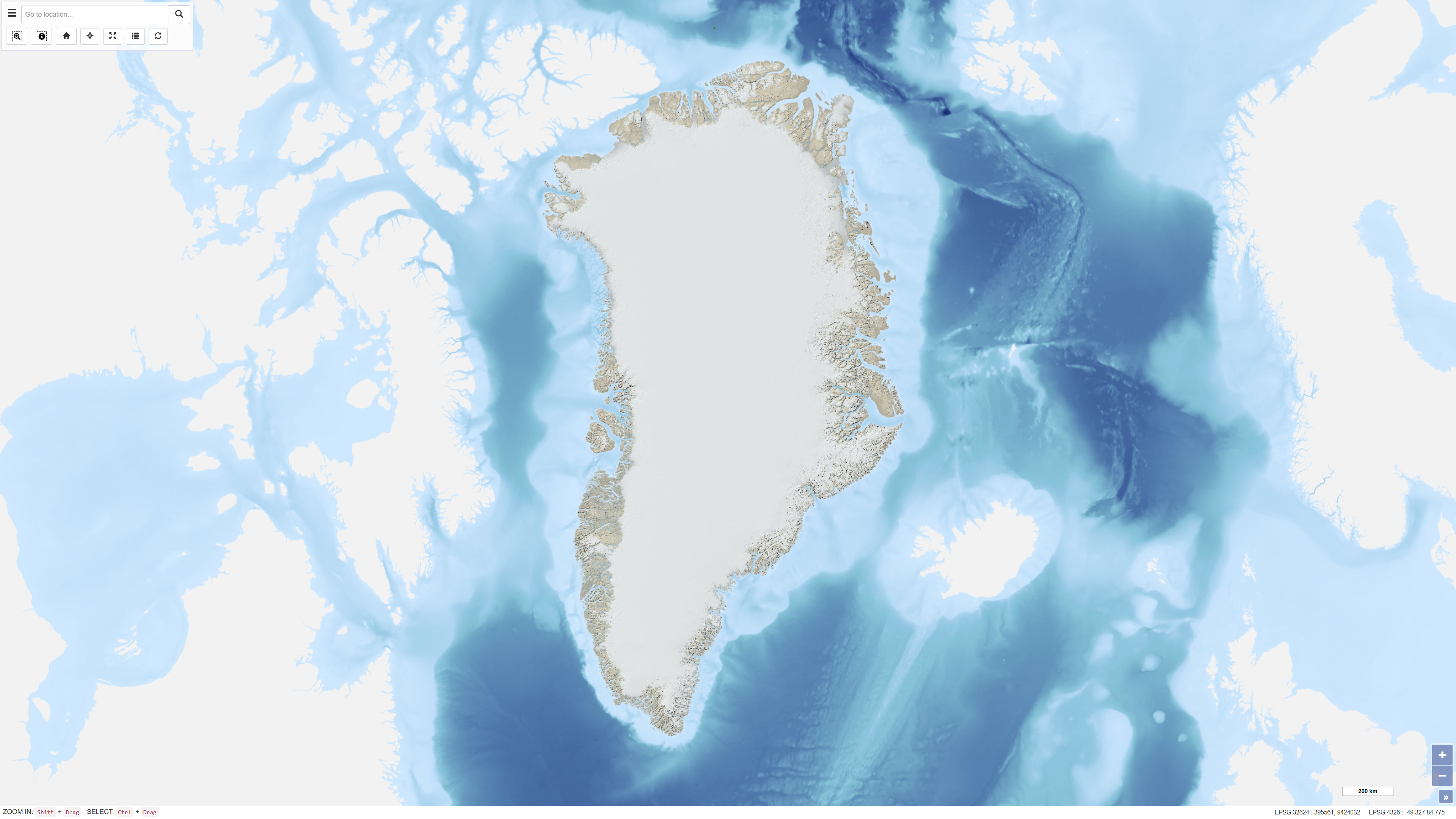
The dataset comprises a topographic map of Northeast Greenland delivered as a digital elevation model (DEM) with a spatial resolution of 8 metres. The DEM is provided as GeoTIFF and represents a seamless elevation surface covering the study area. The dataset was produced using input data from the ArcticDEM project, which is based on stereo imagery from the DigitalGlobe WorldView-1, WorldView-2 and WorldView-3 satellites. The elevation model integrates selected DEM strips recorded between 2012 and 2015 and has been processed to ensure consistency and continuity across the mosaic.
-
%20-%20datas%C3%A6t.jpg)
The dataset represents a hillshade derived from the Danish Digital Terrain Model 2007 (DHM/Terrain 2007). The hillshade is produced as a cartographic overlay layer designed to enhance terrain forms and topographic structures in the Danish landscape. The dataset is suitable for visual analysis and map presentation and can be used as a background layer together with other thematic datasets. The hillshade is based on the DHM/Terrain model, which represents terrain elevation relative to mean sea level (DVR90), with buildings, vegetation and other surface objects removed. The original terrain model is based on nationwide airborne LiDAR surveys collected during 2005–2007 and subsequently processed and quality assured.