 Arctic SDI catalogue
Hillshade
Type of resources
Available actions
Topics
Keywords
Contact for the resource
Provided by
Years
Formats
Representation types
Update frequencies
status
Service types
Scale
-
Terrændata i form af skyggekort eller gråtoner kan hermed bl.a. benyttes direkte i diverse GIS. Skyggekortet og kortet i gråtoner er tilgængeligt både som transparent og ikke transparent, hvilket sikrer at kortene kan kombineres med f.eks. ortofotos eller kartografiske kort og dermed give dem et 3D-udtryk.
-
Tilet version af DHM Hillshade 1,6 m.
-
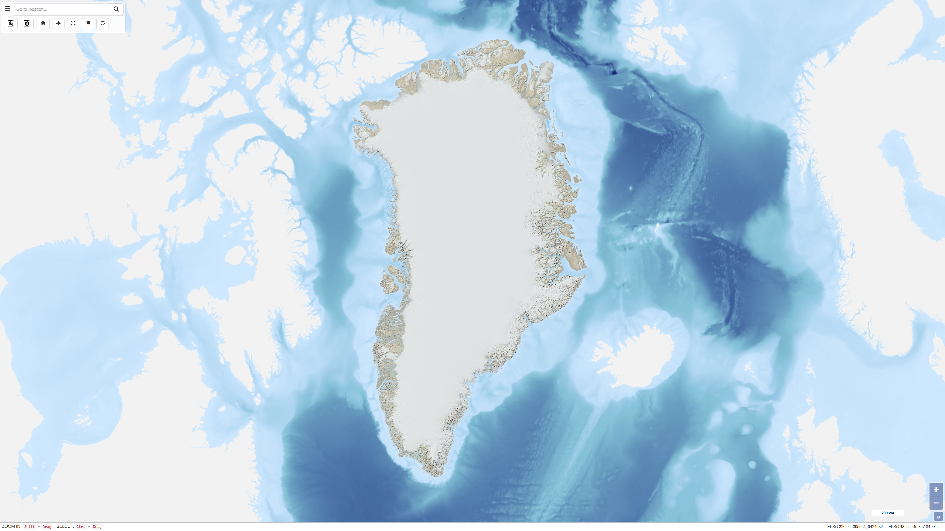
This dataset comprises a multidirectional hillshade raster derived from the Greenland Mapping Project (GIMP) Digital Elevation Model. The hillshade was produced to serve as a semi-transparent overlay for cartographic applications, enhancing terrain depth and surface detail while preserving the original colour characteristics of underlying map layers. The multidirectional illumination method reveals terrain variation from multiple light directions, providing improved representation of landforms compared to traditional single-direction hillshading. The dataset is intended for visualisation purposes in web maps and other cartographic products.
-

Íslenska: Frá 2015 hefur verið opið aðgengi að hæðargögnum af Norðurheimskautinu (norður af 60°N, þar með talið af Íslandi). Gögnin hafa gengið undir nafninu ArticDEM og eru frá Polar Geospatial Center sem er staðsett í University of Minnesota (https://www.pgc.umn.edu/data/arcticdem/). Gögnin urðu til við vinnslu mikils magns af landhæðarlíkönum, flest frá 2012 en elstu gögnin eru frá 2008. Landhæðarlíkönin eru unnin úr steríópörum af gervitunglamyndum frá WorldView 1-3 og GeoEye-1. Notast var við SETSM sem er opinn hugbúnaður fyrir stafrænar myndmælingar á Bluewaters ofurtölvu University of Illinois. Hvert landhæðarlíkan hefur 2x2 m upplausn og dekkar um 18X100 km stórt svæði á jörðu. Samstarf Náttúrufræðistofnunar, Veðurstofunnar og Polar Geospatial Center leiddi til þess að eftirfarandi aðferðir voru þróaðar til þess að vinna með gífurlegt magn gagna. Aðferðirnar eru: 1- Samræma staðsetningu allra landhæðarlíkana 2-Búa til samsett landhæðarlíkan úr öllum líkönunum með því að búa til þekju sem geymir tíma gagnanna. Hver pixill í samsetta líkaninu sem er unnið úr ArcticDEM er miðgildi allra líkana sem fyrirfinnast á svæðinu. Gögnin eru einnig notuð sem bakgrunnskort í Kortaglugga grunngerðar landupplýsinga á Íslandi. En það er líka hægt að skoða gögnin á örðum bakgrunni go með öðrum gögnum í Kortaglugga. Smámyndirnar hér til hliðar eru að hluta til dæmi um hvernig hægt er að birta gögnin og eru skjámyndir úr Kortaglugga. Dæmi um notkun á gögnunum er prentun á 3D kortum. Slóðin á leiðbeiningarnar er hér: https://leidbeiningar.natt.is/instruction/3dprinting English: Since 2015, elevation data from the Arctic (north of 60°N, including Iceland) started to be openly available through the ArcticDEM project, led by the Polar Geospatial Center, University of Minnesota (https://www.pgc.umn.edu/data/arcticdem/). This data consists of a large amount of Digital Elevation Models (DEMs) repeatedly acquired (multitemporal), typically from 2012-present, and the oldest data reaching back to 2008. The Digital Elevation Models (DEM) are derived from satellite sub-meter stereo imagery, particularly from WorldView 1-3 and GeoEye-1. The processing of the DEMs was done using SETSM, an open-source digital photogrammetric software, in the Bluewaters supercomputer (University of Ilinois). Each DEM has 2x2m resolution and a footprint of ~18x100km. In a collaborative effort between the Institute of Nature Research, the Icelandic Meteorological Office and the Polar Geospatial Center, we developed methods to handle and process a large amount of data available for Iceland. The methods developed consisted of: 1-Spatial adjustment of all the available DEMs, for homogeneity and consistency in the location of each individual DEM. 2-Robust mosaicking into one single DEM of Iceland, by taking advantage of the multi-temporal coverage of DEMs. Each pixel of the mosaic corresponds to a median elevation value from the possible elevations available from the ArcticDEM. The data is also used as a background map in the NSDI Geoportal (National Spatial Data Infrastructure), but it is also possible to view the data on a different background and with other data in the Geoportal. The thumbnails are partly examples of how the data can be displayed and are screenshots from the Geoportal. For 3D printing the elevation model see: https://leidbeiningar.natt.is/instruction/3dprinting
-
%20-%20datas%C3%A6t.jpg)
The dataset represents a hillshade derived from the Danish Digital Terrain Model 2007 (DHM/Terrain 2007). The hillshade is produced as a cartographic overlay layer designed to enhance terrain forms and topographic structures in the Danish landscape. The dataset is suitable for visual analysis and map presentation and can be used as a background layer together with other thematic datasets. The hillshade is based on the DHM/Terrain model, which represents terrain elevation relative to mean sea level (DVR90), with buildings, vegetation and other surface objects removed. The original terrain model is based on nationwide airborne LiDAR surveys collected during 2005–2007 and subsequently processed and quality assured.