 Arctic SDI catalogue
Mineral Exploration
Type of resources
Available actions
Topics
Keywords
Contact for the resource
Provided by
Years
Formats
Representation types
Update frequencies
status
Service types
Scale
-
This dataset provides information on mineral sector activity in Ontario including company, project, and activity type. For more information see GeologyOntario, an online warehouse that contains all of the publically available digital data found at the following website: http://www.geologyontario.mndm.gov.on.ca/ or http://www.mndm.gov.on.ca/en/mines-and-minerals/applications/ogsearth/activity-reports-mineral-exploration
-
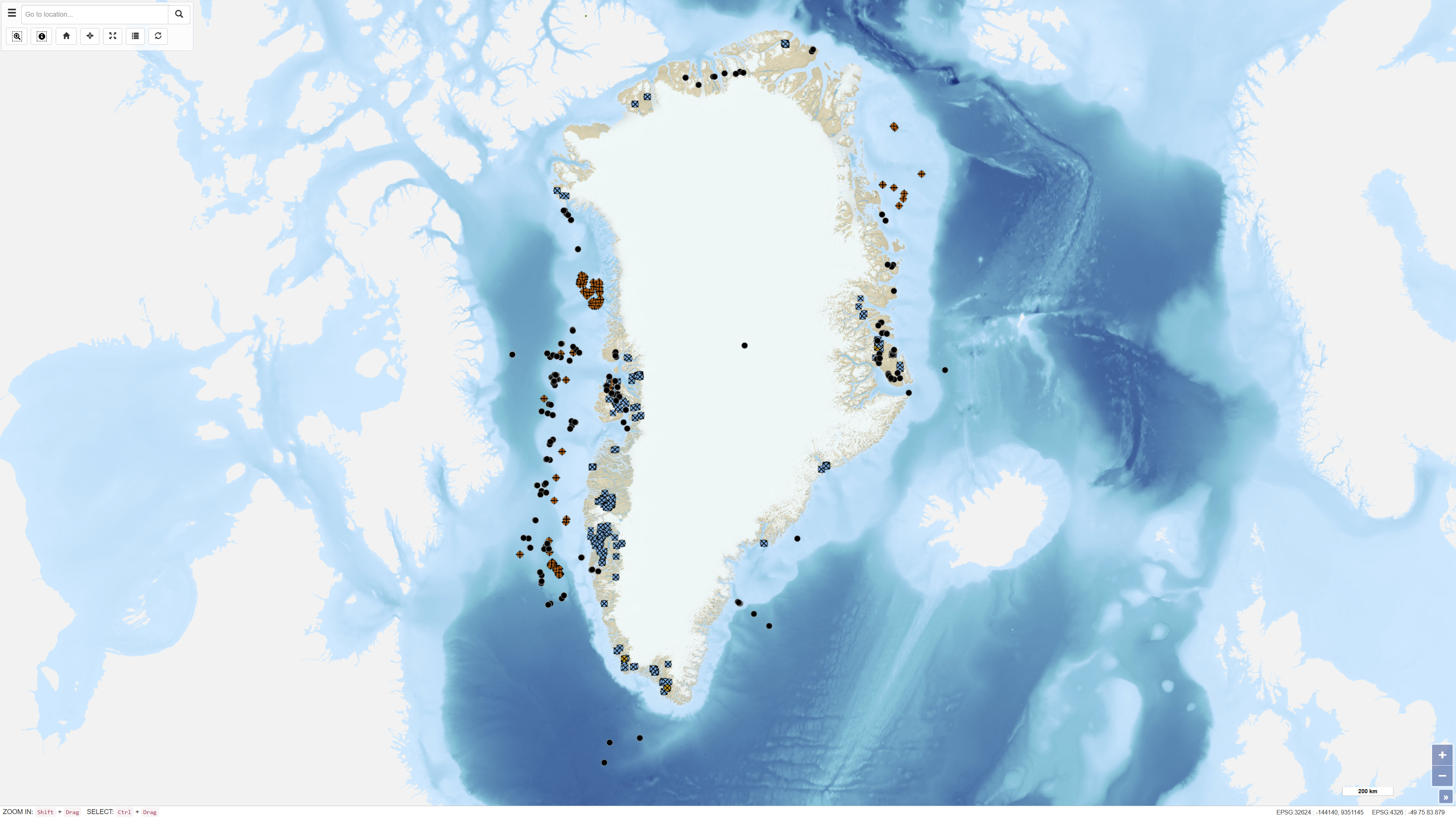
The dataset contains basic information on the location of onshore and offshore drillholes in Greenland established for scientific research as well as mineral, oil and gas exploration. The dataset functions as a geographic reference layer and, where available, includes links to reports or summary sheets representing the original source of information. The dataset covers drillholes established between 1948 and 2019 and is subject to continuous updates as new information becomes available through scientific publications, press releases and company documentation.
-
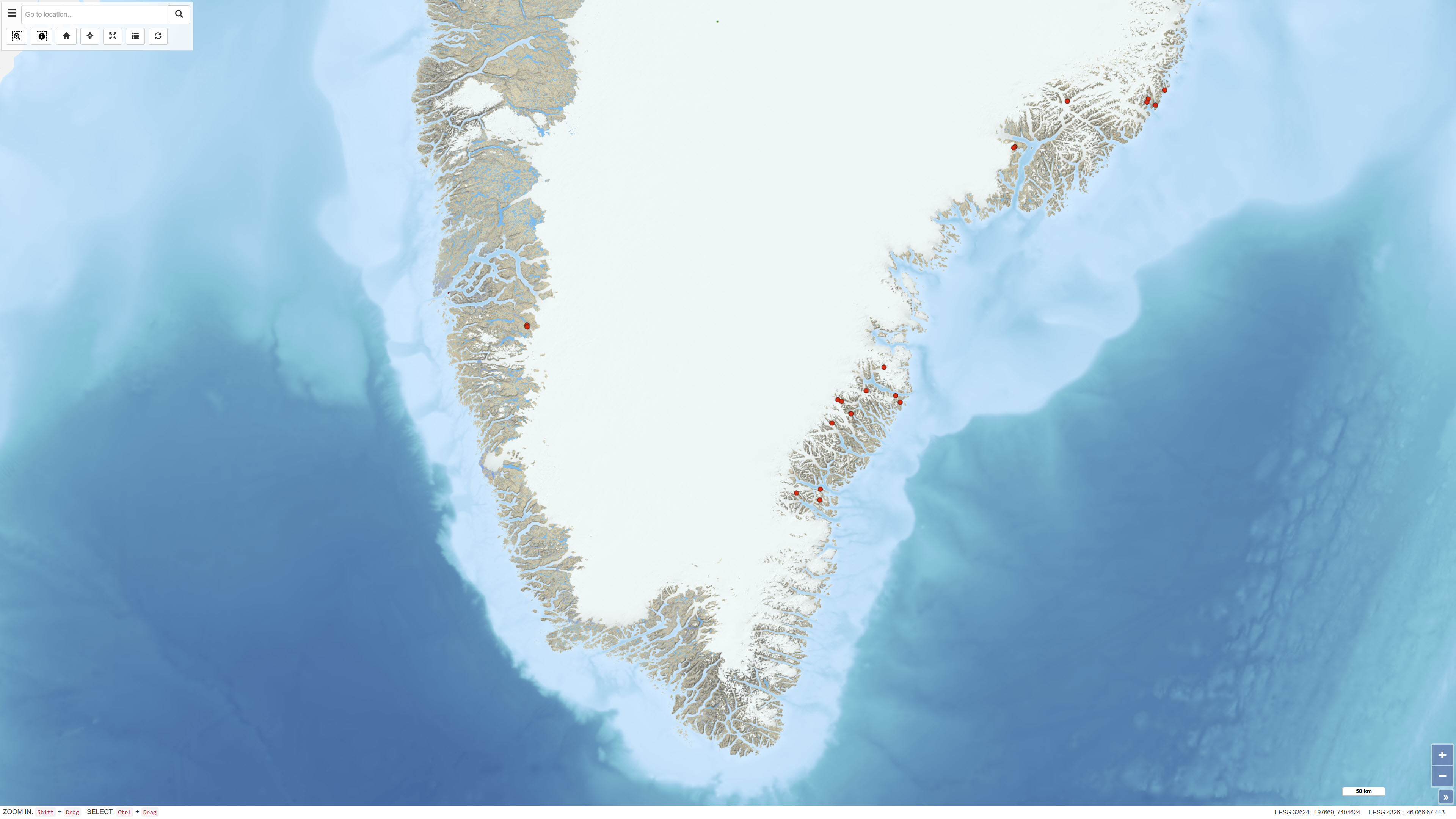
The dataset contains geochemical analyses of 49 scree (talus) samples collected in Greenland as part of regional geochemical mapping programmes conducted by the Geological Survey of Greenland (GGU), later GEUS, between 1977 and 1997. Scree samples were collected in areas where neither stream sediment nor soil sampling was feasible. The samples represent near-surface material derived from local bedrock and were analysed for major and trace elements using laboratory methods available at the time of collection. The dataset supplements regional geochemical data from stream sediment and soil samples and forms part of the overall basis for geochemical mapping in Greenland.
-
%20-%20datas%C3%A6t.jpg)
The dataset comprises airborne electromagnetic (AEM) measurements acquired in Greenland during 1994–1998 as part of GEUS’ regional geophysical mapping programme. The surveys were conducted using helicopter- and fixed-wing electromagnetic systems and include electromagnetic response measurements as well as magnetic data. The dataset is used for regional mapping of subsurface electrical conductivity and for identifying structural and lithological variations relevant to geological interpretation and mineral exploration.