 Arctic SDI catalogue
South Greenland
Type of resources
Available actions
Topics
Keywords
Contact for the resource
Provided by
Formats
Representation types
Update frequencies
status
Scale
-
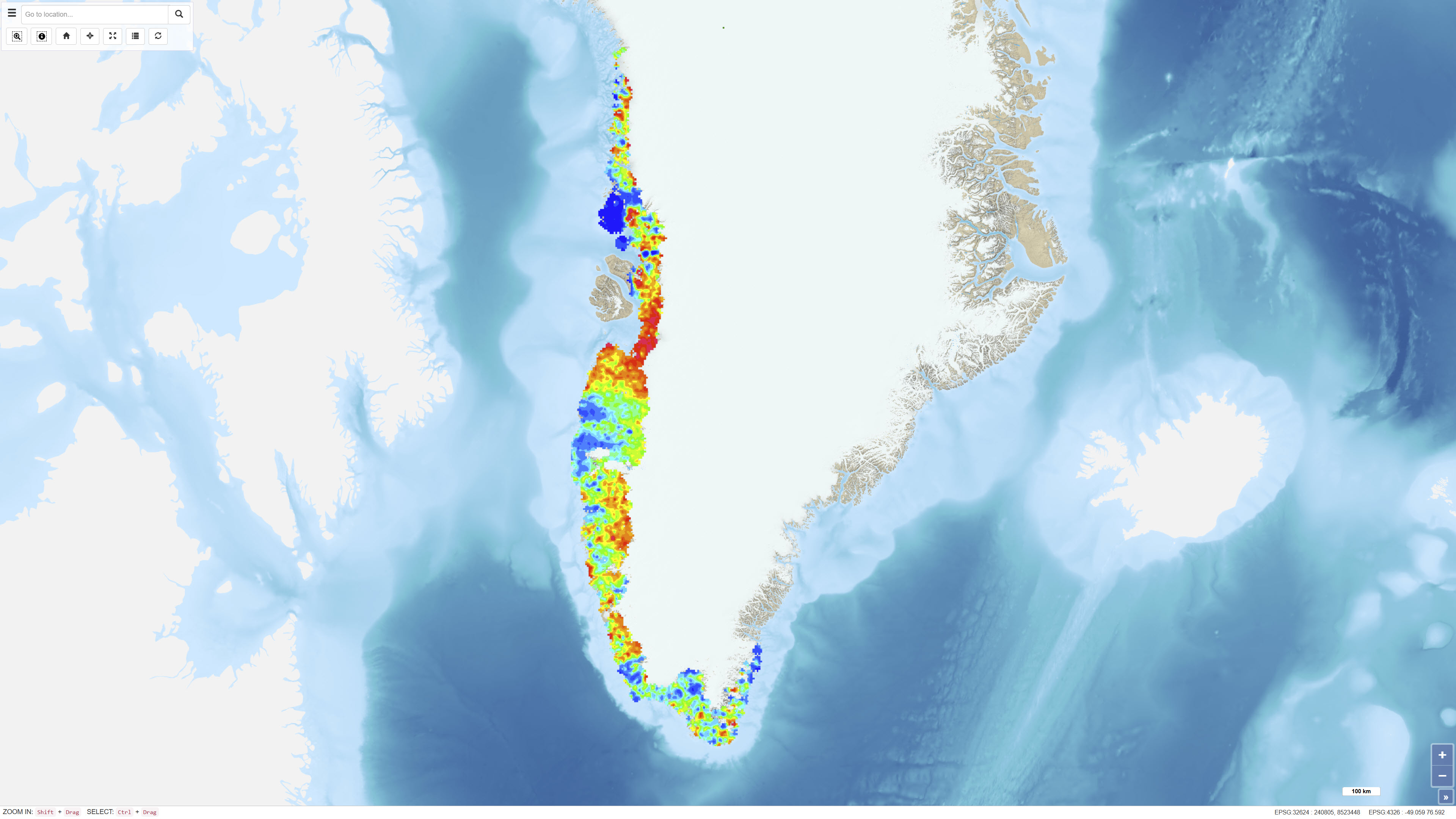
The dataset comprises digital element distribution maps based on geochemical analyses of stream sediments collected in West and South Greenland. The maps were produced as part of the geochemical mapping programme underlying the Geochemical Atlas of West and South Greenland. The data represent analyses of various elements in defined grain-size fractions and provide a regional overview of geochemical variations.
-
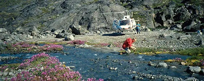
This dataset comprises regional geochemical stream sediment data from West and South Greenland and forms the basis of the Geochemical Atlas of West and South Greenland (Steenfelt, 2001). The Geochemical Atlas of West and South Greenland presents the results of a regional stream sediment geochemical mapping programme conducted between 1979 and 1998. A total of 7,122 stream sediment samples were collected from low-order streams with near-uniform spatial coverage across West and South Greenland. The <0.1 mm grain-size fraction of 500 g samples was analysed for major and trace elements using X-ray fluorescence spectrometry (XRF), instrumental neutron activation analysis (INAA), delayed neutron counting (DNC) and loss on ignition (LOI). After systematic calibration and quality control to eliminate analytical bias between different methods and time periods, a harmonised and internally consistent dataset was established containing up to 43 elements per sample. The atlas provides a regional overview of the geochemical composition of the minerogenic fraction of stream sediments and constitutes a geochemical baseline dataset for geological mapping and mineral exploration in Greenland.